
Revolutionizing Site Management with Drones in Dayton, Ohio
Thinking about how to keep a construction site running smoothly in Dayton, Ohio?
It's not always easy.
Things pop up, and getting a good look at everything, especially the tricky spots, can be a real pain.
But what if there was a better way to see what's going on, gather information, and plan ahead?
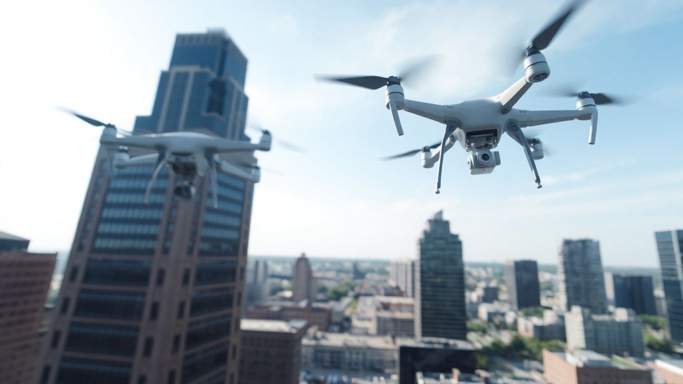
Drones are starting to do just that for site management in Dayton, Ohio, making jobs safer and more efficient.
Let's look at how this tech is changing the game.
Ready to view your construction project from new heights?
Contact 1st Choice Aerials today to schedule your aerial photography, inspection, or thermal imaging service!
On This Page:
Enhanced Site Data Collection Through Drone Technology
When you're managing a construction site, getting good, solid data is key to making smart decisions.
Drones really change the game here, giving us a much clearer view of what's going on from above.
Accurate Stockpile Volume Measurement
Keeping tabs on materials like gravel, sand, or soil is a big part of controlling costs.
Drones can fly over these stockpiles and, using specialized software, determine their exact volume.
This is way faster and more accurate than measuring them by hand or using older methods.
Detailed Environmental Impact Assessments
Before any digging starts, understanding the environmental impact is super important, especially around here in Ohio.
Drones can help assess erosion control and track sediment runoff, ensuring projects comply with all rules.
They can also check the vegetation around a site, which is vital in areas near wetlands or those needing restoration.
This kind of drone support gives better data than just walking around the site.
Comprehensive Aerial Surveying And Mapping
This is where drones really shine.
They can survey an entire site quickly, taking thousands of photos.
Software then stitches these together to create super-detailed 2D maps and 3D models.
These aren't like old satellite images; they're current and show way more detail.
You can get accurate measurements of distance, area, and elevation, making planning and design much smoother.
It's like having a perfect digital twin of your site.
This kind of detailed mapping is a big step up for land surveying and planning.
Drone Inspections Elevate Safety And Efficiency
Safety and efficiency are paramount on any construction site, and drones are revolutionizing how we approach both.
By providing a bird's-eye view and advanced data collection capabilities, drones significantly enhance the safety protocols and operational efficiency of construction projects.
Safer Access To Hard-To-Reach Areas
Forget about sending workers up rickety ladders or setting up expensive scaffolding just to get a look at a tricky spot.
Drones make it easy to get eyes on hard-to-reach or awkward places without putting anyone in harm's way.
This means a lower risk of falls, which, let's be honest, are a big worry on any job site.
It's a much smarter way to check things out.
Thorough Visual Documentation Of Conditions
Getting clear pictures and videos of what's going on is a big deal.
Drones capture high-resolution images and video, giving you a complete record of the site's condition.
You can look back at this footage later to see how things have changed or to show clients exactly what you're seeing.
It's like having a detailed diary of your project, all from above.
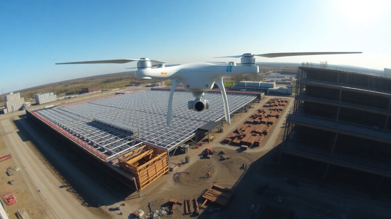
Streamlined Progress Monitoring
Keeping a project on track can be tough.
Drones help by providing regular aerial views of construction progress.
You can easily compare what's been built against your plans, spot any delays early on, and keep everyone involved in the loop.
This makes project management much smoother and helps avoid costly surprises later.
Strategic Planning With Drone-Generated Site Models
When you're planning out a big construction project here in Dayton, having a really clear picture of the site is half the battle.
Drone-generated site models are a game-changer for this.
They give you super accurate 3D models and maps of your land, way better than what you could get from old-school surveying.
This means you can really get into the nitty-gritty details before you even break ground.
Precise Measurements For Better Design
These drone models aren't just pretty pictures; they're packed with data.
You can get exact measurements for distances, areas, and volumes right from the aerial view.
This level of detail helps architects and engineers design more effectively.
Think about planning out utilities, drainage, or even just the best spot for temporary structures.
Having these precise figures means fewer guesswork decisions and a more solid foundation for your design work.
Improved Earthwork Calculations
Figuring out how much dirt needs to be moved, where it needs to go, and how much fill material you'll need is a huge part of any construction budget.
Drone-generated terrain models make these earthwork calculations much more accurate.
You can see the existing contours of the land and then compare it to your planned finished grade.
This helps prevent over-ordering materials or unnecessary digging, saving both time and money.
Accurate Blueprint Comparison
Once construction starts, it's easy for things to drift a little from the original plans.
Drones can regularly create updated site models, which you can then directly compare with your blueprints.
This lets you spot discrepancies early.
Catching deviations early means you can fix them before they become big, expensive problems.
It's like having a constant quality check from above, making sure the project stays on track and true to the design.
Commercial Roof Maintenance Transformed By Drones
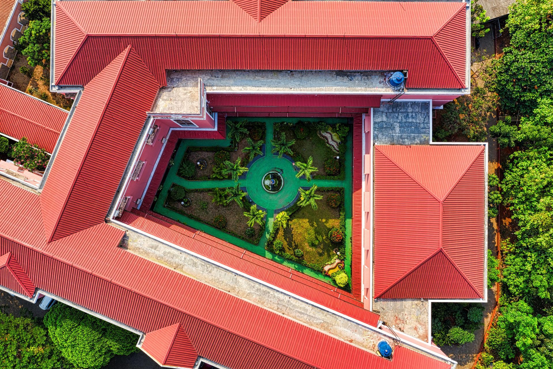
Keeping a close eye on commercial roofs in Dayton used to be a real headache.
We're talking about guys in harnesses, climbing around on slippery surfaces, often in less-than-ideal weather.
It was risky, time-consuming, and honestly, sometimes they missed things.
But now? Drones are changing the whole game.
Eliminating Hazardous Manual Inspections
Forget the danger. Drones mean nobody has to put themselves at risk climbing around on a roof.
They can get up close and personal with the roof's surface from a safe distance, capturing incredibly detailed images and video.
This not only reduces the risk of accidents and insurance headaches but also speeds up the process considerably.
Think about it: no more setting up elaborate safety gear just to get a look at a few square feet.
Detecting Moisture And Insulation Issues
This is where things get really interesting.
Drones can be equipped with special thermal cameras. These cameras see heat, or the lack of it.
So, if moisture is trapped under the roof membrane or insulation has failed in a spot, the thermal camera will show it as a different temperature.
These issues are often invisible to the naked eye, but a drone can easily spot them.
Catching these problems early can save a business a ton of money down the line by preventing water damage and energy loss.
Integrating Data Into Facility Management
So, you've got all this great data from the drone – high-res photos, thermal scans, maybe even 3D models.
What do you do with it?
The real magic happens when you plug this information into your facility management software.
You can create a digital record of your roof's condition, track changes over time, and plan maintenance proactively.
Instead of waiting for a leak to happen, you can schedule repairs based on actual data.
It makes budgeting way easier and helps you get the most life out of your roof.
The Future Of Site Management With Drones
So, what's next for drones in managing construction sites around Dayton?
It's not just about taking cool aerial photos anymore.
We're looking at some pretty big shifts that will make things even more efficient and smart.
Automation And Artificial Intelligence Integration
Think about drones that can fly themselves on pre-set paths, doing inspections without a person needing to pilot them. That's becoming a reality.
These autonomous systems can check on progress or look for issues on a regular schedule, maybe even daily. Artificial intelligence is the real game-changer here, helping to sort through all the data the drones collect.
AI can spot problems in images that a human might miss, like tiny cracks or signs of wear. It's like having a super-smart assistant that never gets tired.
- Automated flight paths: Drones follow programmed routes for consistent data collection.
- AI-powered analysis: Software identifies defects, tracks progress, and flags anomalies.
- Predictive maintenance: AI can forecast potential issues before they become major problems.
The integration of AI with drone technology means we'll get more actionable insights from the data, moving from just reporting what happened to predicting what will happen.
Evolving Regulatory Landscape
Rules about flying drones are always changing.
The Federal Aviation Administration (FAA) is working on new regulations that will likely allow drones to fly further and more often, even beyond the pilot's direct line of sight.
This is a big deal for covering large sites or doing inspections on infrastructure like bridges.
As these rules become clearer and more flexible, drone services will become even more practical and widespread.
Ohio has even started a pilot program to see how drones can help with emergency responses, showing a clear move towards more drone use in public safety and management.
Data-Driven Proactive Maintenance Strategies
Putting all this drone data to work is the ultimate goal.
Instead of just reacting to problems when they pop up, we'll be able to prevent them.
By regularly collecting detailed information about a site or a building's roof, and then using AI to analyze it, managers can plan maintenance before issues get serious.
This means fewer unexpected repairs, lower costs, and longer-lasting structures.
It's all about using the information gathered from above to make smarter, forward-thinking decisions about site upkeep and management.
The Future is Looking Up for Dayton Projects
So, there you have it. Drones are really changing the game for construction and site management right here in Dayton, Ohio.
We're talking about making things safer for workers, getting way more accurate information, and honestly, just doing things a lot faster.
Whether it's mapping out a big development or checking on a roof, these flying cameras are becoming a must-have tool.
It’s not just about having cool tech; it’s about making smart decisions based on solid data.
As this technology keeps getting better and more common, expect to see even more of these drones buzzing around job sites, helping to build a better Dayton.
Ready to view your project from new heights?
Contact 1st Choice Aerials today to schedule your aerial photography, inspection, or thermal imaging service!


