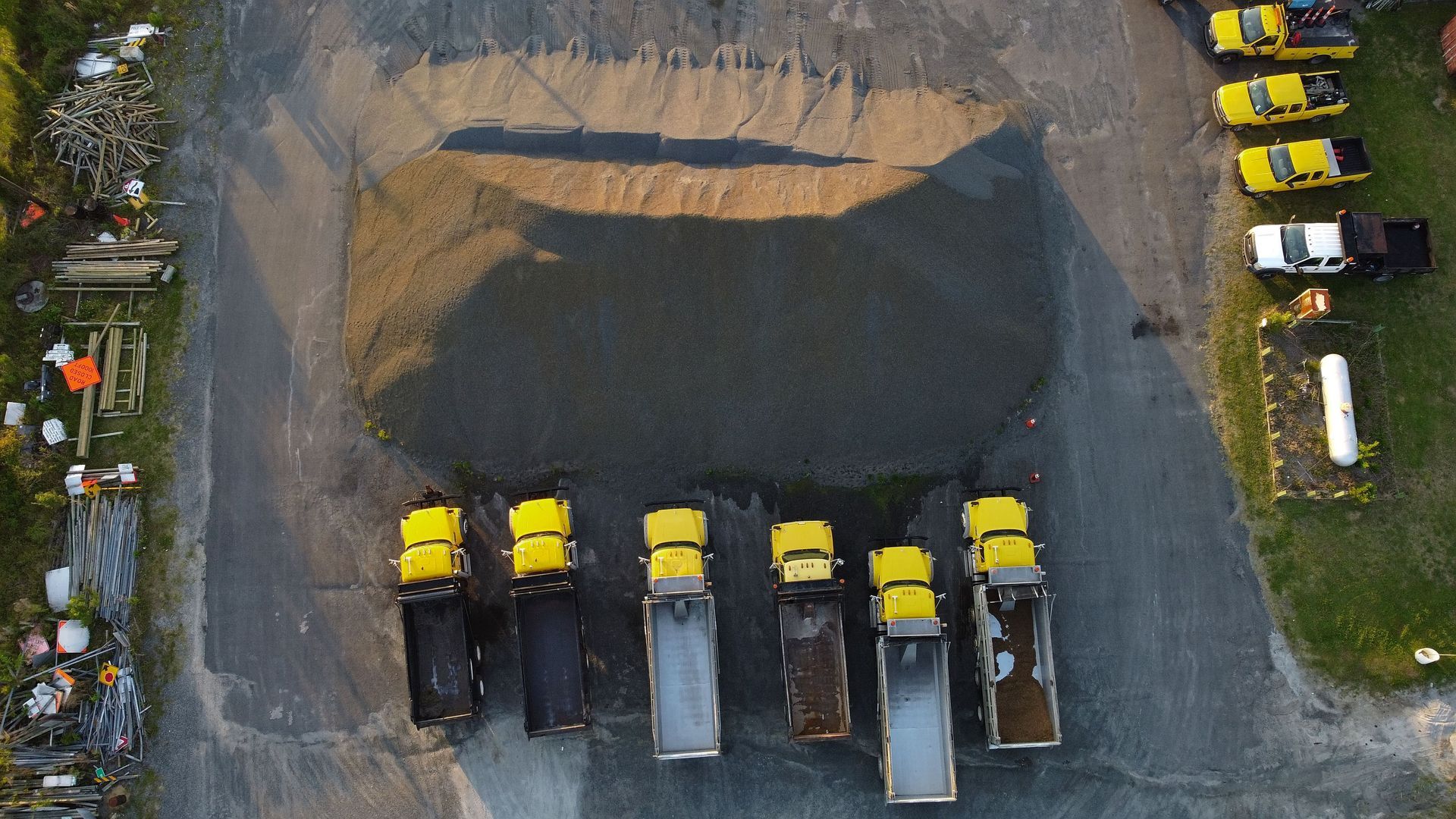
Learn how Ohio contractors get accurate stockpile volumes using drone data, and why the old tape and cone method keeps costing you money.

See which commercial drone services Ohio businesses request most, from roof inspections to thermal scans, mapping, and construction monitoring.
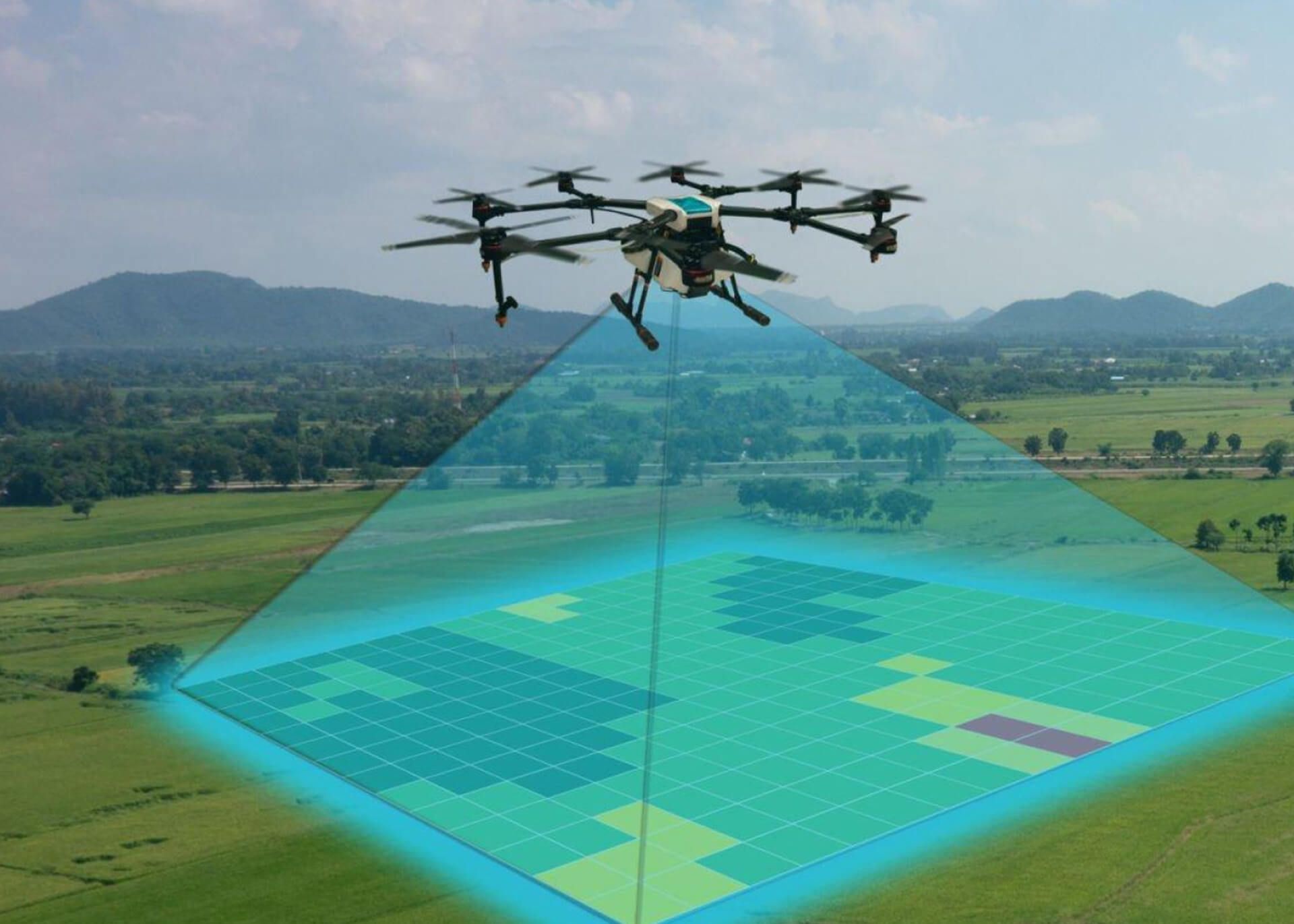
Drone maps can hit 1–5 cm accuracy with RTK. See how they compare to traditional surveys for construction and commercial projects.
REACH OUT TO US TODAY TO GET STARTED...
Share a brief description of your project with us, and we'll connect to discuss how our aerial services can meet your needs. Whether it's inspections, mapping, or other specialized drone work, we're here to help you achieve your goals.