Environmental Drone Services

Environmental Mapping & Drone-Based Environmental Monitoring in Ohio


At 1st Choice Aerials, we deliver advanced environmental drone services, aerial mapping, and environmental monitoring across Ohio to support smarter land management and regulatory compliance. Our UAV-based data collection provides high-resolution aerial imagery, elevation models, and geospatial analysis that help organizations monitor site conditions, document environmental impact, and meet permitting requirements with confidence. We work with landowners, civil engineers, environmental consultants, developers, and construction firms to capture detailed views of terrain, vegetation health, water features, and ground disturbance, all while minimizing on-site disruption and reducing safety risks.

An aerial view of a dirt road going through a field.

Comprehensive Drone-Based Environmental Inspections

Precision and Compliance for a Sustainable Future

At 1st Choice Aerials, we specialize in delivering precise, drone-based environmental inspections that cover everything from erosion and sediment control monitoring to wetland mapping and vegetation analysis. Our advanced aerial photogrammetry and multispectral imaging techniques provide accurate, time-stamped data essential for compliance reporting and long-term environmental stewardship. By streamlining regulatory approvals and enhancing project planning, we help you reduce liability and ensure sustainable practices across Ohio's diverse landscapes.

An aerial view of a dirt road surrounded by trees.

Erosion & Sediment Control Monitoring
Monitor ground disturbance, stormwater runoff patterns, and sediment movement with professional drone-based environmental monitoring. Our aerial inspections provide time-stamped imagery and mapping data to support construction compliance, erosion control plans, and regulatory reporting requirements. High-resolution drone mapping helps contractors and engineers document site conditions accurately while reducing manual site checks.

An aerial view of a river surrounded by trees and grass.

Wetland & Waterway Surveys
Map wetlands, streams, drainage paths, and buffer zones using detailed aerial environmental surveys and georeferenced imagery. Our drone-based wetland mapping services support environmental permitting, impact assessments, and land development planning. Accurate aerial data helps consultants identify sensitive areas and maintain compliance with local, state, and federal regulations.

An aerial view of a road leading to a lake surrounded by trees.

Vegetation & Forestry Analysis
Track vegetation health, canopy density, and regrowth trends using high-resolution aerial imagery and multispectral drone data. Our environmental drone services support forestry analysis, habitat monitoring, and land management planning. Ongoing aerial monitoring allows stakeholders to measure environmental change over time and make informed resource management decisions.

A close up of a piece of paper with a black background

Site Disturbance Documentation
Capture detailed visual documentation of site changes for inspections, environmental assessments, and regulatory compliance. Drone-based site disturbance monitoring provides accurate before-and-after imagery, elevation data, and mapping overlays to support reporting and reduce liability during construction and development projects.

An aerial view of a dirt field surrounded by trees.

Reclamation & Land Restoration Monitoring
Monitor re-vegetation progress, soil stabilization, and land recovery with aerial environmental mapping. Our drone-based reclamation monitoring services help confirm that post-project environmental standards are being met while providing measurable data to support compliance documentation and long-term stewardship.

An aerial view of a construction site with a lot of dirt and trucks.

Need Custom Data? Let’s Talk
Have a specific environmental objective or compliance requirement in mind? 1st Choice Aerials can design a tailored drone-based environmental monitoring and aerial mapping solution to match your project scope, reporting standards, and regulatory needs.

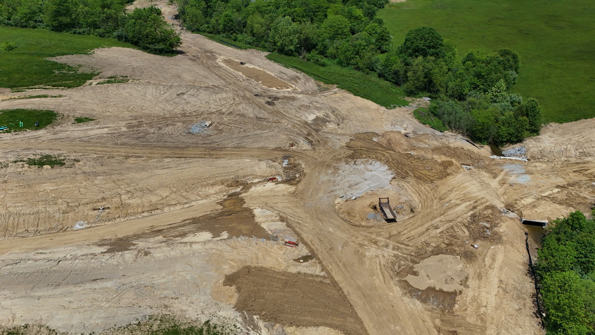
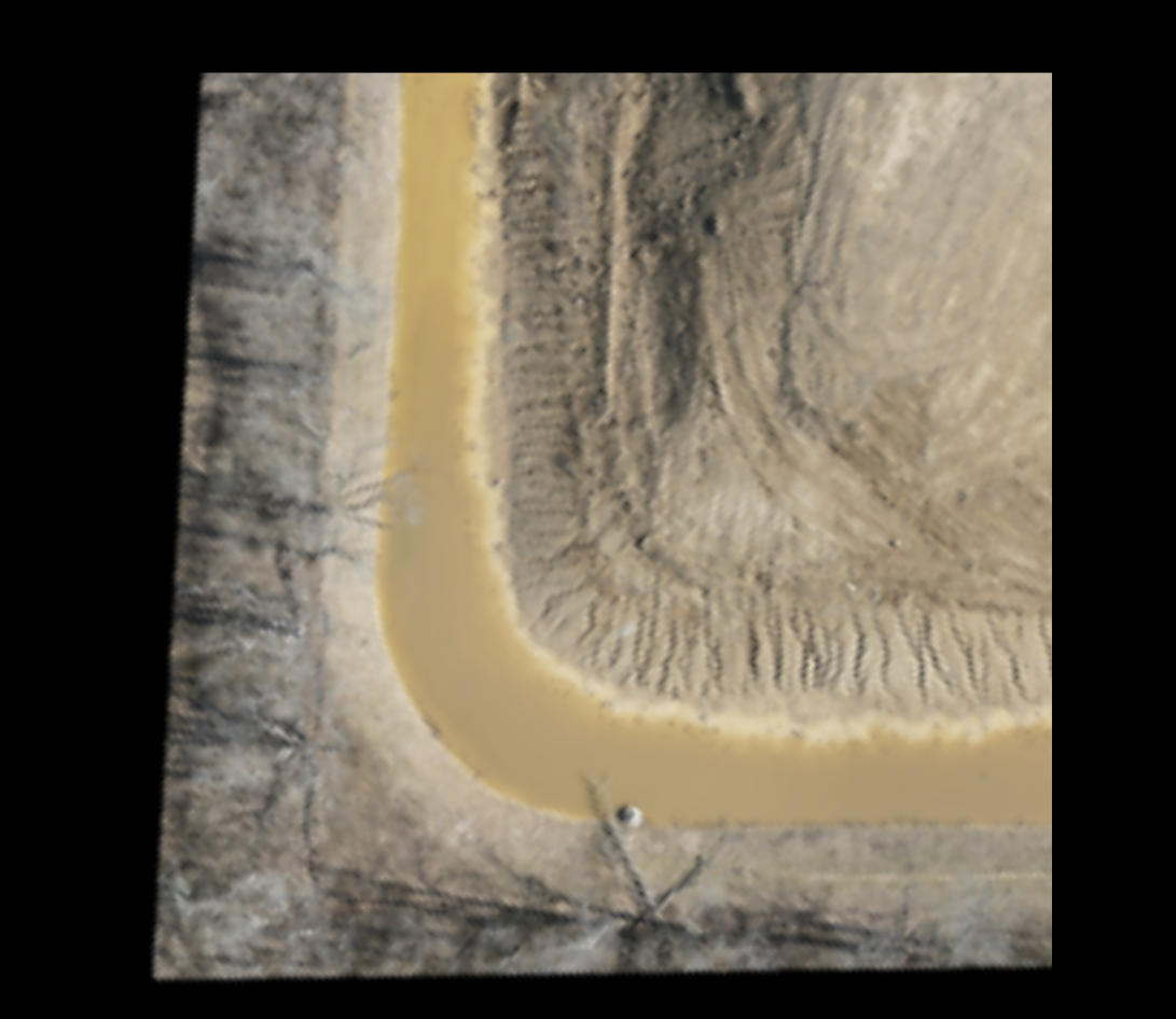
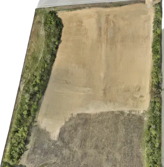
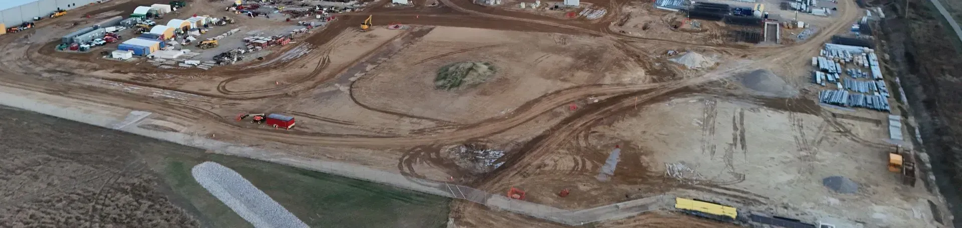
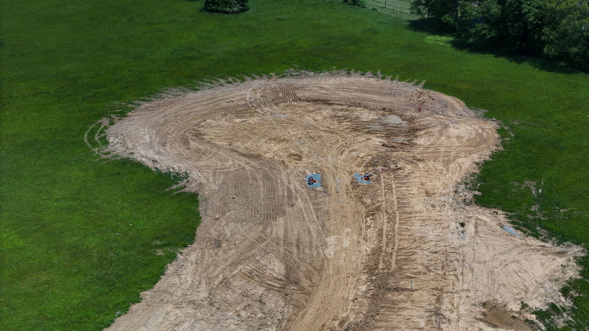
Our environmental drone mapping and aerial monitoring services provide fast, safe, and highly detailed data to support sustainable land management, construction compliance, and regulatory reporting across Ohio. Using advanced UAV technology, we capture high-resolution aerial imagery, orthomosaic maps, digital surface models, elevation data, and geospatial analysis layers that meet environmental and permitting standards while reducing the need for repeated manual site access. Each project includes time-stamped imagery, precise mapping outputs, and clearly organized datasets that support erosion control documentation, wetland assessments, vegetation analysis, and site disturbance tracking. All deliverables are processed for accuracy, quality-checked, and formatted to align with your engineering, environmental consulting, or compliance reporting requirements, ensuring the data integrates seamlessly into your workflow.

Recent Projects


1st Choice Aerials has supported environmental consultants, property owners, civil engineers, and developers across Ohio with high-resolution environmental drone mapping and aerial monitoring services. Our projects focus on delivering accurate geospatial data for erosion tracking, habitat monitoring, regulatory compliance documentation, and sustainable land management. Recent work includes sediment control mapping for a large commercial development, a detailed wetland impact survey for a roadway expansion project, and aerial reclamation monitoring on a post-mining property. Each project involved time-stamped aerial imagery, elevation modeling, and compliance-ready reporting designed to reduce liability, support permitting requirements, and strengthen long-term environmental stewardship.

  • A close up of a piece of paper with a black background

    Slide title

    Erosion Control

    Ohio

    Button
  • An aerial view of a dirt road in a grassy field.

    Slide title

    Construction Site Audit

    Milford, Ohio

    Button
  • An aerial view of a dirt road going through a field.

    Slide title

    Feild Tile Inspection

    Leesburg, Ohio

    Button
  • An aerial view of a dirt field surrounded by trees.

    Slide title

    Land Reclaim Project

    Goshen, Ohio

    Button

Environmental Drone Mapping FAQ

1. What is environmental drone mapping?

Environmental drone mapping uses UAVs to capture high-resolution aerial imagery and geospatial data that helps document site conditions, monitor environmental change, and support land management and compliance reporting.


2. What deliverables do you provide for environmental projects?

Typical deliverables include time-stamped aerial photos, orthomosaic maps, elevation models, surface models, and analysis layers that can support permitting, inspections, and environmental assessments.


3. How does drone monitoring support erosion and sediment control compliance?

Drone flights document ground disturbance, runoff paths, and sediment movement over time. This creates a visual record for construction compliance, stormwater plans, and regulatory reporting while reducing the need for frequent manual site walks.


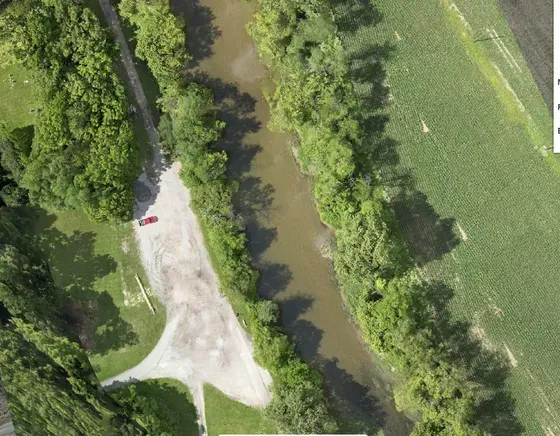
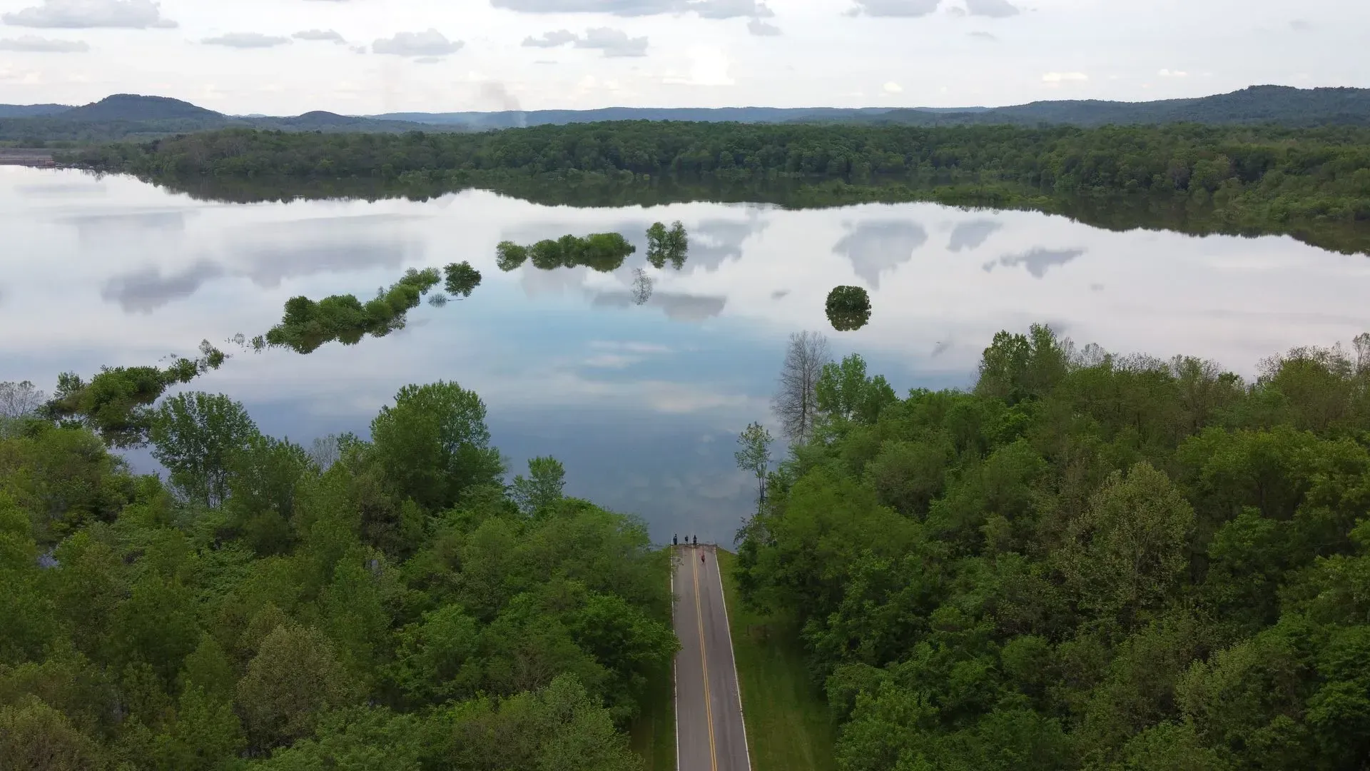
4. Can drones be used for wetland and waterway surveys?

Yes. Drone mapping can identify water features, flow paths, and buffer areas to support wetland delineation workflows, environmental permitting, and impact documentation for planning and development.


5. How is vegetation and habitat monitoring performed?

Aerial imagery and multispectral data can be used to evaluate canopy coverage, vegetation health, regrowth trends, and habitat changes. This supports forestry analysis, restoration monitoring, and long-term stewardship.


6. Do drone surveys reduce the need for on-site access?

In many cases, yes. Drone-based environmental inspections provide broad coverage and detailed documentation with less disruption, fewer safety risks, and fewer boots on the ground, especially on large or sensitive sites.


7. How accurate is drone mapping for environmental reporting?

Accuracy depends on project scope and methods, but deliverables are processed and quality-checked to support engineering and compliance workflows. Data can be formatted to fit specific reporting requirements.


8. How do I request a custom environmental mapping plan?

Share your site goals, reporting requirements, and timeline. 1st Choice Aerials can tailor a drone-based environmental monitoring and mapping solution to match your compliance and project needs.


Ready to Get Started?

REACH OUT TO US TODAY

If you’re looking for professional Thermal drone service, our team is ready to help you reduce costs, and gain reliable insight without putting people at risk. Reach out today to get started and discuss your inspection needs.

Get In Touch