


From site planning through final delivery, drone technology is transforming how construction projects are managed. At 1st Choice Aerial, our construction-focused drone services are built to support contractors, developers, and project managers across Ohio, with expanding service coverage in Kentucky and Indiana.
Our core services include aerial site surveys, progress monitoring, safety inspections, volumetric analysis, quality control, and stakeholder reporting, all designed to improve efficiency, reduce risk, and deliver accurate, project-ready data when and where it matters most. By integrating drone data into your construction workflow, your team gains better visibility, stronger documentation, and clearer insights at every stage of the project.
Ready to optimize your next construction project? Partner with 1st Choice Aerial for professional construction drone services that help keep projects on schedule, on budget, and moving forward. Contact us today to request a custom quote or schedule a consultation for your job site in Ohio, Kentucky, or Indiana.
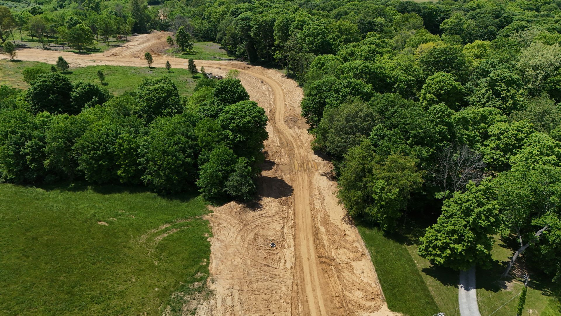
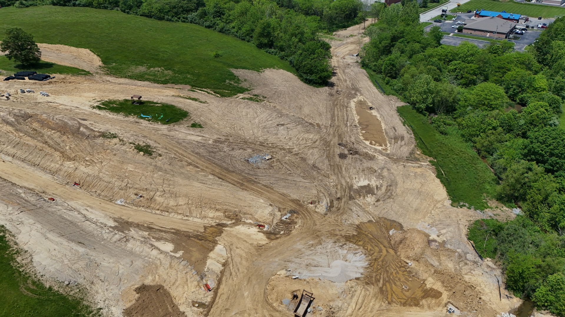
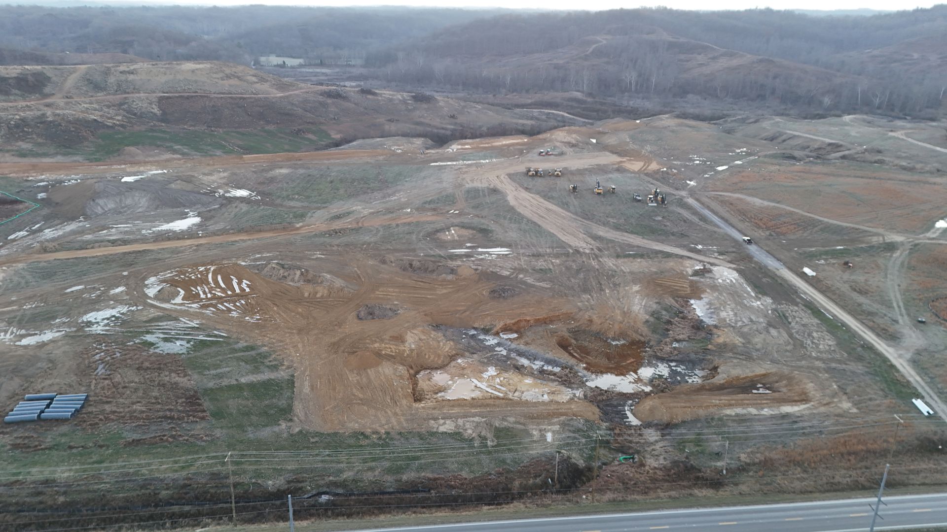
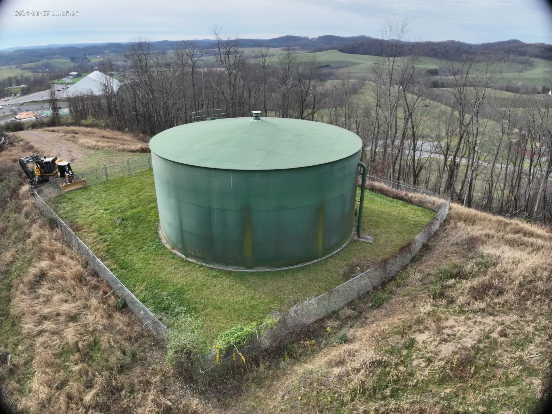
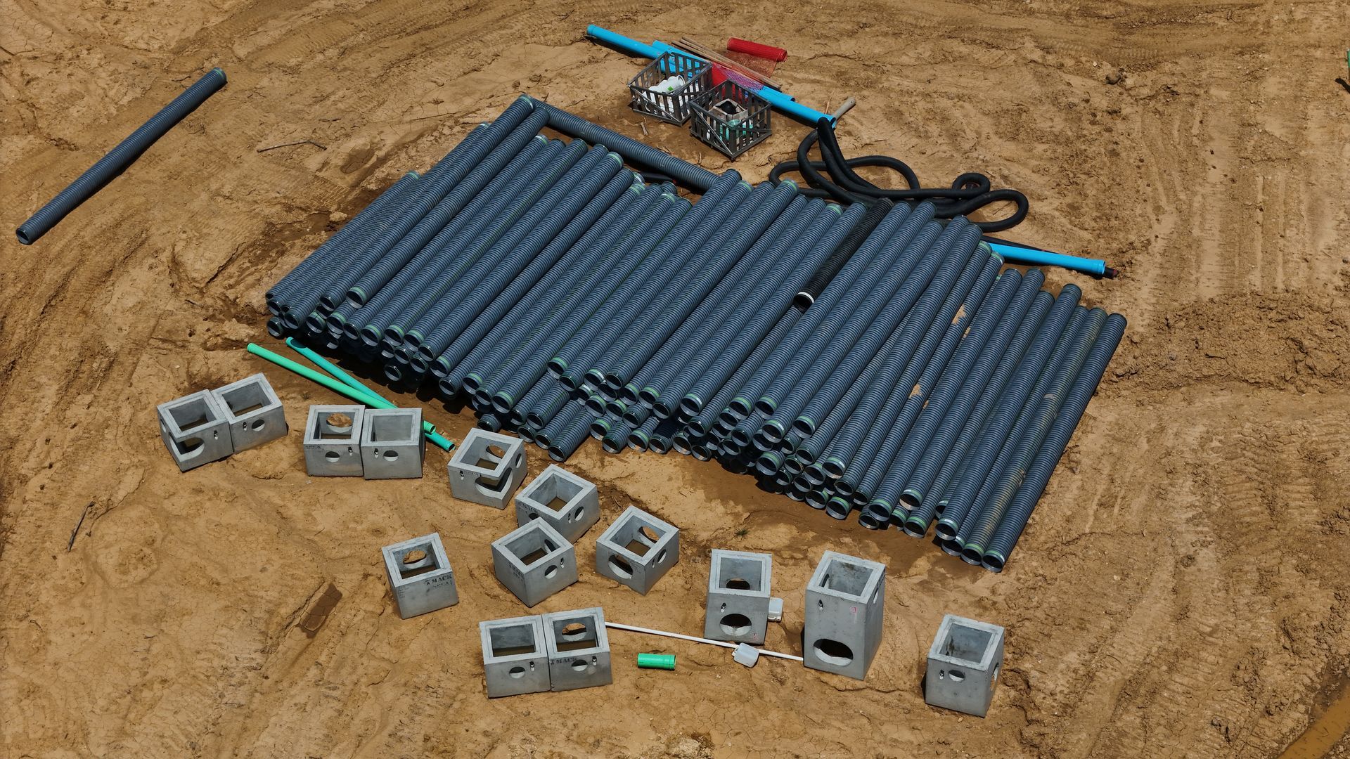
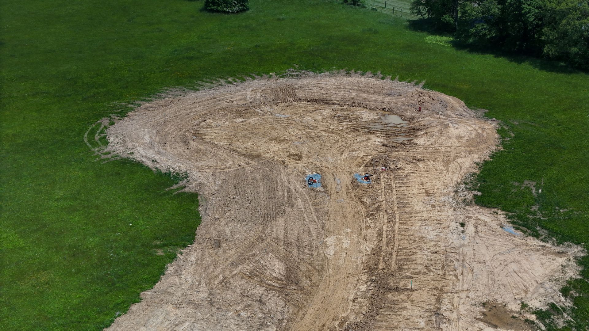
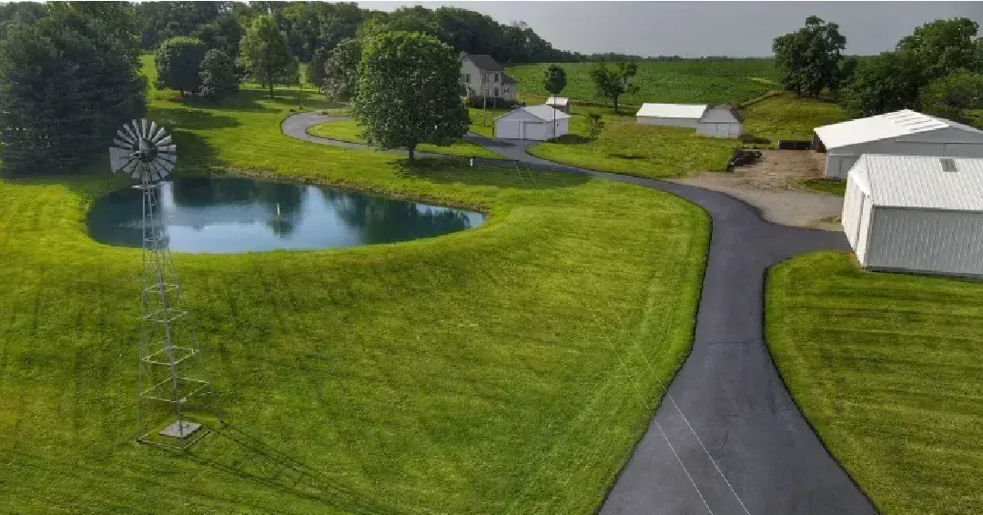
Recent Construction Drone Projects
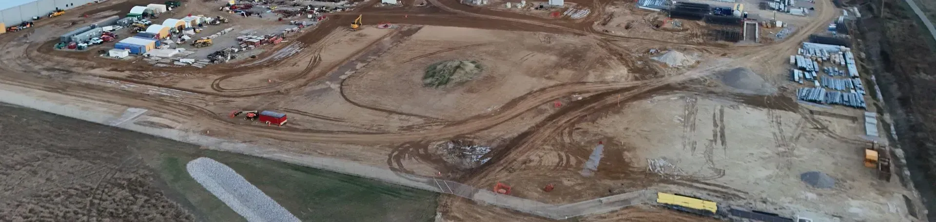
Take a look at our recent construction drone projects to see the level of accuracy, consistency, and insight we deliver on every job site. Our construction drone services capture high-resolution aerial imagery, progress documentation, and site data that help teams track timelines, identify issues early, and maintain clear communication with stakeholders.
From large-scale commercial builds to smaller construction projects, our drone data supports better planning, safer sites, and more efficient project management. The result is improved visibility, stronger documentation, and construction projects that stay on schedule and within budget.