
Expert Drone Project Documentation Services in Cincinnati: Streamline Your Workflow
Getting your construction projects documented properly in Cincinnati can be a real headache.
You need accurate records, but the old ways just take too much time and effort.
That's where drone project documentation services in Cincinnati come in.
They use drones to capture all sorts of data, ensuring you have a clear picture of your site without the usual hassle.
It's about making things simpler and getting better results.
Ready to view your construction project from new heights?
Contact 1st Choice Aerials today to schedule your aerial photography, inspection, or thermal imaging service!
On This Page:
Accurate As-Built Documentation For Commercial Projects
For commercial builds, knowing exactly what's there is key.
Drones can capture detailed images and scans of existing conditions.
This means you get a clear picture of the site before construction starts, or how a building looks after it's finished.
This information is vital for:
- Tracking progress against plans.
- Identifying any discrepancies between what was planned and what was built.
- Providing a reliable record for future renovations or expansions.
This precise record helps prevent costly mistakes down the line.
Detailed BIM Services For Healthcare And Entertainment
When you're working on healthcare facilities or entertainment venues, the details matter a lot.
Building Information Modeling (BIM) converts drone-captured data into a 3D model.
This model shows not just the structure, but also things like plumbing, electrical systems, and HVAC.
For hospitals, this means better planning for equipment placement and emergency routes.
For entertainment venues, it can help with stage setups and crowd flow.
Precise 3D Scanning For Historic Preservation
Cincinnati has a lot of history, and preserving it is important.
Drones equipped with 3D-scanning technology can create incredibly detailed digital models of historic buildings.
This isn't just for show; it's a practical tool.
It allows preservationists to study the structure without physically touching it, plan restoration work with accuracy, and create a digital archive in case of damage or loss.
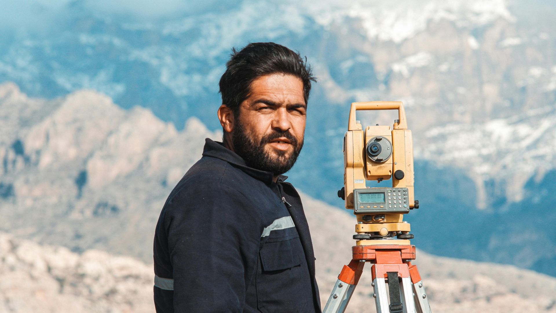
Leveraging Advanced Drone Technology For Your Cincinnati Projects
We're not just flying drones around; we're using some pretty neat tech to get you the best data possible for your Cincinnati projects.
Think of it as giving your project a super-detailed, high-tech eye in the sky.
This isn't your average aerial photo; it's about capturing information in ways that were just not possible a few years ago.
Rectified Photogrammetry And Aerial Video Capture
This is where we take a bunch of overlapping aerial photos and stitch them together to create a geometrically accurate map.
It's like looking at a flat, precise blueprint from above. We also capture high-definition video, giving you a dynamic view of your site.
This combination is great for tracking progress, inspecting hard-to-reach areas, and getting a clear overview of the entire project area.
It's a solid way to document what's actually happening on the ground, from a bird's-eye perspective.
We can even create virtual tours that let you explore the site remotely, adding notes and taking measurements without ever setting foot there.
LiDAR Scans For Unparalleled Detail
LiDAR, or Light Detection and Ranging, is a game-changer. It uses laser pulses to measure distances and create incredibly dense, accurate 3D point clouds of your project.
This technology provides a level of detail that's hard to match, capturing millions of data points per second.
It's perfect for complex structures, existing conditions, and situations where you need to know exact measurements down to the millimeter.
Imagine being able to see every pipe, beam, or structural element with pinpoint accuracy.
This is especially useful for renovations or when verifying existing structures against design plans.
Researchers at the University of Cincinnati have even developed a moth-inspired drone that uses basic sensors for navigation, demonstrating how far autonomous flight has come.
2D Orthomosaic Images And 3D Models
From the data we collect, we can generate several outputs.
Orthomosaic images are like those rectified photos, but they're corrected for lens distortion and perspective, making them true-to-scale maps.
They're super useful for measurements and planning.
Then there are the 3D models. These are digital replicas of your project site or building, built from the point cloud data.
They give you a realistic, interactive view that helps with visualization, clash detection, and communication among team members.
It’s like having a digital twin of your project that everyone can access and work with.
Streamlining Workflows With Expert Drone Documentation
Using drones for project documentation in Cincinnati really changes how things get done.
It’s not just about getting cool aerial shots; it’s about making the whole process smoother and reducing headaches.
This technology gives you a super clear picture of what's actually there, right from the start.
Think about it. Instead of sending people out multiple times to measure and check things, a drone can capture a ton of data in one go.
This means fewer trips to the site, saving time and money, and less disruption for anyone working there or nearby.
Plus, when you have accurate, up-to-date information, you can spot potential problems early on.
Catching an issue before construction starts is way cheaper than fixing it halfway through.
Specialized Drone Documentation For Cincinnati Industries
Let’s look at how valuable drone project documentation is for specific industries.
Industrial Building Documentation Expertise
When it comes to industrial sites, things can get pretty complex.
We're talking about massive factories, sprawling warehouses, and intricate manufacturing plants.
Getting accurate documentation for these places is a big deal.
Our drone services can capture detailed aerial views and 3D models of these large-scale operations, making it easier to plan upgrades or track progress.
We've worked on a lot of these kinds of projects, so we know what it takes to get the job done right, from chemical plants to food processing facilities.
It's all about providing clear, reliable data that helps keep things running smoothly.
Critical Facilities Documentation For Reliability
Critical facilities, like hospitals, data centers, or power plants, need documentation that's not just accurate, but also incredibly detailed and secure.
Any mistake here could have serious consequences.
We use drones to create precise 3D scans and models that show exactly what's going on, down to the smallest detail.
This helps with everything from regular maintenance to planning for emergencies.
Having this kind of information readily available means teams can make better decisions, faster, which is super important when you're dealing with facilities that can't afford to go offline.
Residential Home Documentation For Renovations
Even for residential projects, especially bigger renovations or custom builds, drone documentation can be a game-changer.
Instead of just relying on old blueprints, we can provide up-to-date, accurate aerial photos and 3D models of existing homes.
This gives contractors and homeowners a much clearer picture of the property before any work even begins.
It helps prevent surprises, makes planning easier, and can even help with things like getting permits or showing progress to clients.
It's a simple way to make sure everyone's on the same page from the start.
Partnering For Success With Cincinnati Drone Services
So, why should hire a drone service for your drone needs?
Dedicated Project Managers For Efficient Delivery

When you work with us, you're not just getting drone data; you're getting a partner focused on making your project run smoother.
We assign a dedicated project manager to your job.
Think of them as your main point of contact, someone who really gets what you need and keeps things moving.
They're there to handle the details, coordinate schedules, and make sure you're updated every step of the way.
This means less hassle for you and a more organized process overall.
Expert CAD And BIM Technicians For Custom Deliverables
Our team doesn't just fly drones; they're skilled in turning that raw data into something truly useful for your project.
We have technicians who are pros with CAD and BIM software.
They take the scans and models we create and shape them into the exact format you need, whether that's detailed 2D drawings or complex 3D BIM models.
This level of customization means the data fits right into your existing workflow without a hitch.
Secure Cloud Storage For Easy Access And Sharing
We know how important it is to have your project information readily available and safe.
That's why all the data we collect and process is stored securely in the cloud.
You get easy access to your files whenever you need them, from any device.
Plus, sharing this information with your team, clients, or other stakeholders is simple and straightforward.
No more hunting for files or worrying about data loss.
Wrapping It Up
So, if you're working on a project in Cincinnati and need to get your documentation sorted, it really makes sense to look into what these drone and scanning services can do.
It’s not just about having cool pictures; it’s about making sure everything is accurate from the start.
This can save you a lot of headaches and money down the road.
Think about it – fewer mistakes, better planning, and a smoother process overall.
Give it some thought for your next job.
Ready to view your project from new heights?
Contact 1st Choice Aerials today to schedule your aerial photography, inspection, or thermal imaging service!


