
Mapping Services for Land Development Columbus: A Guide
Launching a land development project requires considerable effort.
You've pictured something great for that empty lot or big piece of land right here in Columbus.
But making that dream happen always comes back to one simple thing.
Grasping fundamental realities.
Imagine trying to build a house blindfolded; that's the danger when developers don't have complete site knowledge.
You simply can't afford such a risk.
For any building project in Columbus, you really need expert mapping to get things right from the start.
For many years, we depended on maps drawn by hand and old-fashioned land surveys.
While those old ways once worked, they really fall short these days.
Building new things in a busy place like Franklin County calls for a much sharper eye than old methods ever could.
Ready to view your construction project from new heights?
Contact 1st Choice Aerials today to schedule your aerial photography, inspection, or thermal imaging service!
On This Page:
What Exactly Are Land Development Mapping Services?
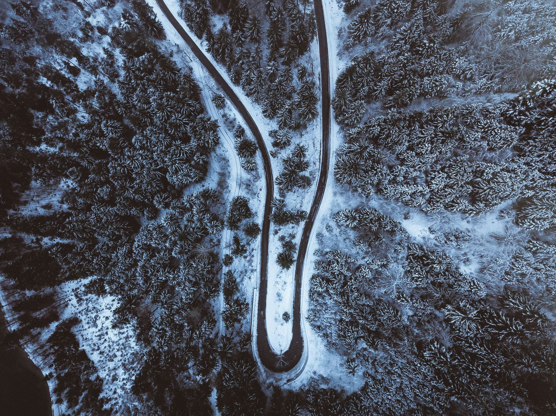
Modern land development services use high-tech tools like drones, GPS, and advanced sensors to create detailed digital representations of a property.
This blueprint captures everything from the subtle slopes of the land to the exact location of every tree and rock, information critical for proper land planning.
We use technology like photogrammetry, where hundreds of high-resolution aerial photos are stitched together by powerful software.
We also employ methods like Mobile LiDAR to capture precise data from ground level.
Forget fuzzy pictures; this gives you one incredibly sharp map, or even a full 3D model, of your whole site.
It transforms how you visualize and decide on every part of a big construction or landscape project.
The Core Benefits of Using Modern Mapping for Columbus Projects
Moving from old methods to new technology brings some serious advantages. It touches almost every part of your project.
Save Time and Money
What's the biggest advantage? Speed and cost savings.
Imagine mapping a 100-acre plot in just hours, not weeks.
This rapid data collection gets vital information into the hands of your architects and civil engineering team faster.
Faster data means faster planning and a quicker start to construction.
More importantly, high accuracy from the start prevents costly rework.
You won't have to regrade a section of the property or relocate a planned water main because the initial elevation data was slightly off.
Make Smarter Decisions
Good mapping gives you a complete picture.
With detailed topographic maps, your civil engineering experts can plan drainage systems that actually work and protect public health.
You can see the best spots for buildings, roads, and utilities to minimize earthmoving costs and environmental impact.
You get a clear understanding of the site's opportunities and challenges before you even break ground.
You'll make smarter decisions for your land project early on by getting a jump on things.
You can use resources like the Franklin County Auditor public GIS data as a starting point, but a professional aerial map gives you the high-resolution detail needed for actual construction and site development.
Improve Project Safety

Safety is a huge concern on any job site.
Aerial mapping can help you spot potential dangers before you ever send a crew out, contributing to overall public safety.
You can identify things like unstable slopes, hidden water features, or other hazards from the safety of an office, preventing accidents that might otherwise require a police report.
This allows you to create a safer work environment and plan around risks, protecting your team and your investment from unforeseen dangers.
Better Communication
Have you ever struggled to explain a big property or a new park plan with only a flat drawing?
It's incredibly tough to get the full picture across that way.
Clear orthomosaic maps or 3D models really help simplify talks with public service departments and everyone else involved.
You can share these digital files with your entire team, from investors and city planners to engineers and contractors.
Everyone sees the same, easy-to-understand view of the project, which is especially helpful when dealing with zoning services.
This clarity reduces misunderstandings and keeps everyone on the same page.
Key Types of Mapping Services for Land Development in Columbus
Not all maps are created equal.
Different stages of a project need different types of data.
Here are some of the most common mapping products used in land development that our services include.
Topographic Mapping
A topographic map is all about elevation.
It shows you the shape of the land using contour lines.
Each line connects points of equal elevation, often established with precise control points on the ground.
This is one of the most important tools for an engineer.
They use it to design grading plans, drainage systems, and roadways.
A proper topographic map is the foundation of all good site design and is critical for both residential and commercial development.
Orthomosaic Mapping
Think of this as a super-powered aerial photograph.
An orthomosaic map is created from many smaller photos, but it has been geometrically corrected so that it is perfectly to scale.
This means you can take accurate measurements directly from the image, a valuable tool for landscape architecture.
These maps are perfect for getting a big-picture view of your project site.
You can use them to monitor construction progress over time.
They are also great for marketing materials to show potential buyers or investors what the finished development will look like.
3D Models
The real fun kicks off here.
We create living 3D models of your whole property.
These digital replicas let you virtually walk through and inspect every feature.
You can view the site from any angle, almost like you're flying over it yourself.
A Digital Surface Model, or DSM, shows a 3D view of the highest points: building roofs, treetops, and other surface items.
This is useful for things like line-of-sight analysis or solar panel placement.
Experts find these models provide a much more complete view of a property than simple elevation data.
Volumetric Surveys
If your project involves moving a lot of earth, a volumetric survey is essential.
This process uses aerial data to calculate the volume of stockpiles.
Need to know how much dirt, sand, or gravel you have on site?
This is how you find out.
This service helps you keep track of your materials with incredible accuracy.
It saves a lot of guesswork and can prevent you from ordering too much or too little material.
ALTA/NSPS Land Title Surveys
These surveys are usually needed for real estate transactions, especially for commercial properties in Columbus or Delaware County.
They show property boundaries, improvements, easements, and other critical information.
It is a very comprehensive type of land surveying.
Modern aerial mapping technology can make the ALTA survey process faster and more detailed for private clients.
Drones can capture data on improvements and site features quickly.
The National Society of Professional Surveyors (NSPS) sets the standards for these important surveys, and new technology helps meet those standards with great efficiency.
Conclusion
Starting a successful land development project in a growing city like Columbus demands the best information possible.
Moving past outdated methods and embracing modern technology is no longer optional.
Accurate data forms the foundation of every smart decision you'll make, from initial design to final construction, and helps navigate interactions with entities like the County Auditor.
The right mapping services for land development in Columbus are an investment in risk reduction, efficiency, and project success that pays for itself many times over.
Ready to view your project from new heights?
Contact 1st Choice Aerials today to schedule your aerial photography, inspection, or thermal imaging service!


