
Streamlining Construction: The Power of BIM Integration with Drone Data
Construction has changed a lot lately.
It used to be all about paper plans and manual checks.
Now, we're seeing cool tech like drones and BIM working together.
This combo is making projects run smoother and faster.
Think of it like giving your construction team super-vision and a super-brain.
It helps everyone see what's happening, spot problems early, and get things done right the first time.
We're talking about a big shift in how buildings get made, and it's mostly for the better.
Ready to view your construction project from new heights?
Contact 1st Choice Aerials today to schedule your aerial photography, inspection, or thermal imaging service!
On This Page:
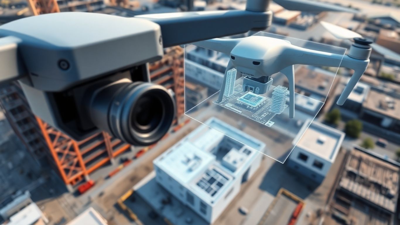
The Synergy of Drones and BIM in Construction
Here is where the magic happens.
This section delves into the powerful combination of drone technology and Building Information Modeling (BIM) and how it's revolutionizing the construction industry.
Understanding Building Information Modeling (BIM)
Building Information Modeling, or BIM, is way more than just fancy software.
It's a whole process that creates a digital copy of a building or structure, showing its physical and functional parts.
Think of it as a super-detailed 3D model that holds tons of information.
This digital model serves as a central hub for making smart choices from initial design through use.
It's become a really big deal in how we build things today.
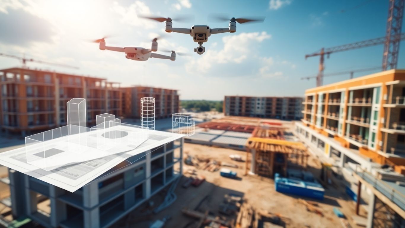
The Role of Drones in Data Acquisition
Now, where do drones fit in?
Drones have really changed the game when it comes to gathering information on a construction site.
They can fly over the site and capture super high-quality photos and videos, along with precise measurements using GPS and advanced sensors.
This aerial perspective gives us a bird's-eye view that's hard to get any other way.
They can get to places that are tough or unsafe for people to reach, collecting data quickly and efficiently.
- Drones can map terrain and existing structures with great accuracy.
- They provide regular updates on site conditions, which is vital for fast-paced projects.
- Drone sensors can detect temperature variations and structural integrity issues.
Synergistic Benefits of UAVs and BIM Integration
When you combine what drones do with BIM, that's where the real magic happens.
Drones give us the up-to-the-minute, real-world data, and BIM gives us the framework to organize and use that data effectively.
This partnership means we can spot problems much earlier and ensure the building under construction matches the digital plan.
It’s like having a constant, accurate report card for the construction site.
This integration helps everyone involved see what’s really going on, making it easier to plan, manage, and build.
Enhancing Project Management with Integrated Data
This section will explore how the synergy between drones and BIM transforms how construction projects are overseen and executed.
Real-Time Progress Monitoring and Deviation Detection
Think about managing a big construction project.
It's like juggling a dozen things at once, right?
Drones give you eyes in the sky, constantly feeding information back.
When you link that drone data to your BIM model, you get a live picture of what's actually happening on site.
This means you can spot problems the moment they pop up, not days or weeks later.
If a wall is being built a few inches off, or a material delivery is late, you see it right away.
This lets you fix things fast, before they turn into major headaches and cost a ton of money.
Optimizing Resource Allocation and Logistics
Knowing exactly where everything stands on site is a game-changer for planning.
Drone data, when plugged into BIM, shows you where materials are, what equipment is being used, and how many workers are where.
This detailed view helps you make smarter choices about what you need and when.
You can avoid ordering too much of something or having equipment sit idle.
It makes sure the right stuff gets to the right place at the right time, cutting down on wasted trips and delays.
This is especially useful for big projects where moving things around can get complicated fast.
Proactive Decision-Making and Dispute Resolution
When you have accurate, up-to-date drone data integrated into your BIM model, making decisions becomes much easier.
You're not guessing; you're working with facts.
This visual data also acts as a solid record.
If there's ever a disagreement about whether a particular stage was completed correctly or on time, you have clear photographic and 3D evidence.
This can prevent arguments and speed up the process of settling any disputes, saving time and legal fees.
It gives everyone involved a shared understanding of the project's reality.
Achieving Unprecedented Accuracy and Efficiency

How can drone data and BIM integration lead to unprecedented accuracy and efficiency in construction projects?
High-Resolution Data Capture with Advanced Sensors
Drones have really changed the game when it comes to getting detailed site information.
Forget those slow, old-school survey methods.
Drones, equipped with fancy sensors like LiDAR and high-res cameras, can zip around and grab incredibly precise data.
LiDAR, for instance, creates these detailed 3D point clouds of the site.
When you feed this kind of information into a BIM model, it's like upgrading from a blurry photo to a crystal-clear blueprint.
This level of detail means the digital model truly matches what's actually happening on the ground.
Minimizing Discrepancies Between Design and Reality
One of the biggest headaches in construction is when the design plans just don't line up with the real world.
Drones help bridge that gap.
By regularly flying over the site and feeding updated data into the BIM system, you get a constant stream of reality checks.
This means any small differences between what was planned and what's being built can be spotted way earlier.
It’s like having a built-in quality control system that’s always watching.
Reducing Rework and Costly Errors
When your BIM model is based on super-accurate drone data, you reduce errors.
If a drone survey shows a foundation isn't quite right, you can fix it when it's a small job, not a massive, expensive redo later.
This precision means less wasted material, fewer delays, and ultimately, a much smoother project.
Streamlining Workflows and Collaboration

When you bring drone data and BIM together, it's like giving everyone on the project a shared, super-clear map and a crystal ball.
Facilitating Transparent Stakeholder Communication
Imagine trying to explain a complex building plan to a client using just paper blueprints.
It's tough, right?
Now, picture showing them a 3D BIM model updated with real-time drone footage of the actual site.
This visual connection makes communication so much easier and more honest.
Everyone, from the architect to the client, can see exactly what's happening, where things stand, and what the next steps look like.
This shared view reduces misunderstandings and makes it easier to secure everyone's buy-in for decisions.
It’s like having a common language that everyone understands, no matter their technical background.
Enabling Seamless Data Sharing Across Platforms
Getting information from the field into the hands of the design team, and vice versa, used to be a headache.
Drones capture tons of data – photos, videos, scans – and BIM models are packed with details.
Integrating these means that all this information can flow much more freely.
You can upload drone scans directly into your BIM software, update progress, and then share that updated model with the whole team, whether they're on-site or miles away.
This avoids those awkward moments where someone's working off old plans.
It means everyone is looking at the same, up-to-date information, which is a big deal for keeping projects on track.
Improving Site Planning and Safety Compliance
Before drones, planning site logistics and determining where to place materials or temporary structures was often guesswork based on 2D plans.
Drones give you an aerial perspective that’s incredibly detailed.
You can see exactly how the site is laid out, identify potential hazards like uneven ground or existing obstacles, and plan your work zones more effectively.
This information, fed into the BIM model, helps create better site plans.
It also makes safety checks much more straightforward.
You can easily spot if safety protocols aren't being followed or if equipment is being stored in a dangerous spot, all from the drone's viewpoint.
This proactive approach to safety and planning saves time and, more importantly, prevents accidents.
Economic Advantages and Sustainability Gains

Integrating drone data with Building Information Modeling (BIM) isn't just about fancy tech; it actually makes good financial sense and helps the planet, too.
Reducing Labor Costs Through Automation
This automation is a big deal.
Tasks like taking progress photos, checking if something's built right, or even just mapping the site can be handled by drones.
This frees up your skilled workers to do the jobs that really need their brainpower, not just their feet.
Plus, it reduces the risks of sending people into potentially tricky situations.
Minimizing Material Waste and Environmental Impact
When your BIM model is constantly updated with accurate drone data, you get a much clearer picture of what materials you actually need.
This precision means you're not ordering way too much, which then sits around and eventually gets thrown out.
Less waste means less money down the drain and a smaller footprint on the environment. It's a win-win.
Enhancing Facility Management Post-Construction
And it doesn't stop when the building is finished.
The data collected during construction, now neatly organized in your BIM model, becomes a fantastic resource for managing the building later on.
Need to know where a specific pipe is for a repair?
The BIM model, updated with drone data, can tell you.
This makes maintenance quicker, cheaper, and less disruptive for whoever ends up using the building.
Navigating Challenges and Future Trajectories
Even with all the cool benefits, bringing drones and BIM together isn't always a walk in the park.
There are definitely some bumps in the road we need to smooth out before this becomes totally standard practice.
Addressing Regulatory Hurdles and Privacy Concerns
One of the biggest things is figuring out the rules.
Flying drones, especially over active construction sites or near populated areas, comes with a bunch of regulations.
These can change depending on where you are, and keeping up with them takes effort.
Plus, there's the whole privacy thing.
People are understandably concerned about drones flying overhead and collecting data.
We need clear guidelines that protect privacy while still enabling the useful data collection drones provide.
The Need for Skilled Personnel and Upskilling
Operating drones and working with BIM software requires specific skills.
It's not just about pushing a button.
You need people who know how to fly drones safely, process the data they collect, and then integrate that information into BIM models.
This means construction companies need to invest in training their current staff or hiring new people with these abilities.
It's a shift from traditional roles, and getting everyone up to speed is a big part of making this integration work.
Wrapping It Up
So, bringing drones and BIM together really changes the game for construction projects.
It’s not just about getting cool aerial shots; it’s about having super accurate, up-to-date information right when you need it.
This means fewer mistakes, less wasted time, and ultimately, projects that run smoother and finish on budget.
While there are still a few bumps in the road, like figuring out regulations and making sure everyone knows how to use the tech, the benefits are pretty clear.
This combo is definitely the way forward for building things smarter and better.
Ready to view your project from new heights?
Contact 1st Choice Aerials today to schedule your aerial photography, inspection, or thermal imaging service!


