
Dayton General Contractors: Streamline Your Projects with Drone Progress Reports
Keeping a construction project on track in Dayton can feel like a juggling act.
You've got deadlines, budgets, and a whole lot of moving parts to manage.
Traditional methods for checking progress can be slow and sometimes miss the big picture.
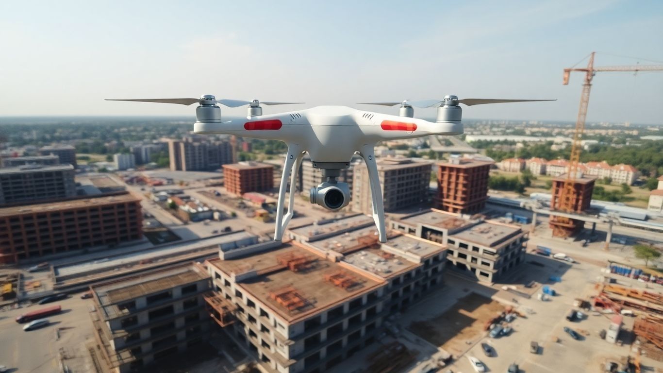
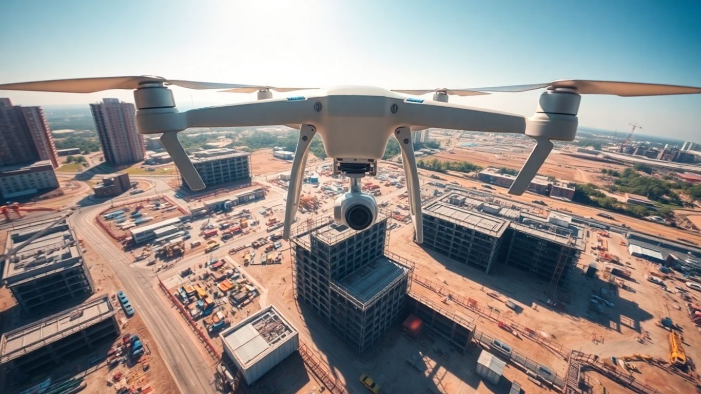
That's where drone progress reports for general contractors in Dayton come into play, offering a fresh perspective from above to help you stay on top of everything.
Ready to view your construction project from new heights?
Contact 1st Choice Aerials today to schedule your aerial photography, inspection, or thermal imaging service!
On This Page:
Pre-Construction Planning And Site Evaluation
Before you even break ground, getting a solid handle on your project site is super important.
It’s like trying to bake a cake without knowing if you have flour – you’re just guessing.
Drones really change the game here, giving you a bird’s-eye view that’s way more detailed than just walking around.
Mapping Terrain With Precision
Forget about outdated paper maps or spending days with surveying equipment.
Drones can quickly create highly accurate 2D maps and 3D models of your site.
This means you get a precise picture of the land's contours, elevations, and any existing features.
This detailed mapping is key to avoiding costly surprises down the road.
It helps you understand exactly what you're working with, from slopes that might affect drainage to areas that are harder to access.
Understanding Local Topography For Better Planning
Knowing the lay of the land is more than just looking at a map; it’s about understanding how water will flow, where natural obstacles might be, and how the terrain will impact your construction methods.
Drone data provides this insight.
You can see drainage patterns, identify potential erosion spots, and even spot underground utilities if the data is detailed enough.
This information helps you plan your site layout, access routes, and foundation work more effectively.
It’s about making smarter decisions from the very start, which can save a lot of headaches and money.
Informing Design With Aerial Data
The data collected by drones isn't just for planning the physical site; it can also inform the actual design of your project.
Seeing the site from above can reveal opportunities or constraints that weren't obvious from ground level.
For example, a drone view might highlight the best orientation for a building to take advantage of natural light or minimize wind exposure.
It allows architects and engineers to refine their designs based on real-world conditions, not just theoretical plans.
This leads to more efficient, cost-effective, and better-suited structures.
Leveraging Drone Data For Marketing And Compliance
You're probably already thinking about how to market your completed projects and ensure everything is up to code.
Drones can be a powerful tool in both these areas, providing compelling visuals and detailed documentation that can streamline processes and impress stakeholders.
Elevating Company Branding With Aerial Imagery
Think about how you show off your completed projects.
Sure, you can take some pictures from the ground, but aerial shots from a drone?
That's a whole different ballgame.
High-quality drone photos and videos make your company look professional and modern.
They give potential clients a bird's-eye view of your work, showing the scale and detail in a way that's hard to capture otherwise.
This kind of imagery is perfect for your website, social media, or even in proposals to really make your company stand out from the competition.
Simplifying Approvals With Visual Records
Dealing with permits and inspections can be a headache. Drones can actually help smooth out this process.
By regularly documenting your site's progress from the air, you create a clear visual timeline.
This can be incredibly useful when you need to show city officials or inspectors exactly where things stand.
It provides objective proof of work done and can speed up the approval process, saving you time and hassle.
Mitigating Legal Risks With Drone Documentation
Heading the charge in construction project management, drone progress reports offer general contractors in Dayton a powerful tool to mitigate risks and ensure project integrity.
Documenting Site Conditions For Legal Purposes
Think about it – before any work even starts, there's a whole lot of ground to cover, literally.
Drones can get up in the air and snap detailed photos and videos of the site exactly as it is.
This isn't just for show; it's solid proof of the starting point.
If a question pops up later about what was there before, or what condition things were in, you've got clear, objective records.
This kind of pre-project documentation is super helpful for avoiding misunderstandings down the line.
Using Progress Tracking As Evidence
Construction projects are always moving, right?
Keeping track of that movement is key, especially when it comes to legal matters.
Regular drone flights can capture how the site changes over time.
This creates a visual timeline of your work.
If there's ever a disagreement about whether work was completed on schedule, or if certain steps were taken, this footage acts as undeniable evidence.
It shows exactly what was done, and when.
Resolving Disputes With Objective Records
Disputes happen. It’s just part of the business sometimes. When they do, having unbiased, factual information is gold.
Drone footage provides just that. It’s not someone's memory or opinion; it’s a visual record.
This can make sorting out disagreements much faster and less costly.
Instead of getting bogged down in arguments, you can point to the footage and say, 'Here's what happened.'
Monitoring Compliance With Safety Standards
Safety is a big deal, and regulations are there for a reason.
Drones can help you monitor whether everyone on site is following the rules.
They can spot potential hazards or unsafe practices from a safe distance.
Documenting these observations can show you're actively managing safety and complying with standards.
This is good for your workers and can protect your company if something unfortunate were to occur.
Advantages Of Drone Data Collection For Contractors
When you're managing a construction project, getting good information quickly and safely is a big deal.
Drones really change how we do things compared to older methods.
Here are some of the main benefits:
- Faster Data Collection Over Large Areas: Drones can survey vast construction sites quickly, saving hours of manual work. This speed is a game-changer for keeping projects on schedule.
- Ensuring Increased Accuracy In Measurements: The data captured by drones is highly precise, reducing the chance of errors that can happen with manual measurements. This accuracy is vital for planning and execution.
- Safer Data Collection From Hazardous Zones: Drones can fly over dangerous or hard-to-reach parts of a site, like steep slopes or unstable ground, without putting workers at risk. This keeps your team safe and avoids potential accidents.
- More Frequent And Up-To-Date Site Information: Regular drone flights provide continuous updates on project progress. This constant stream of current information helps in making timely decisions and spotting issues early.
This kind of detailed, up-to-date information is invaluable.
It helps you spot potential problems before they become major headaches, communicate progress clearly to clients, and keep everything moving forward smoothly.
It's a more modern, effective way to manage the complexities of construction.
Wrapping It Up
So, there you have it. Using drones for your Dayton construction projects isn't just some fancy new gadget; it's a smart way to keep things moving smoothly.
You get a clear picture of what's happening, spot problems early, and have solid proof of progress.
This means fewer headaches, better communication with everyone involved, and ultimately, projects that finish on time and without breaking the bank.
It's about making your job easier and your business look good.
Give it a try and see how much of a difference it can make.
Ready to view your project from new heights?
Contact 1st Choice Aerials today to schedule your aerial photography, inspection, or thermal imaging service!


