
Indianapolis IN Aerial Photography Boosts New Construction
Imagine yourself standing right at the edge of your new Indianapolis building site.
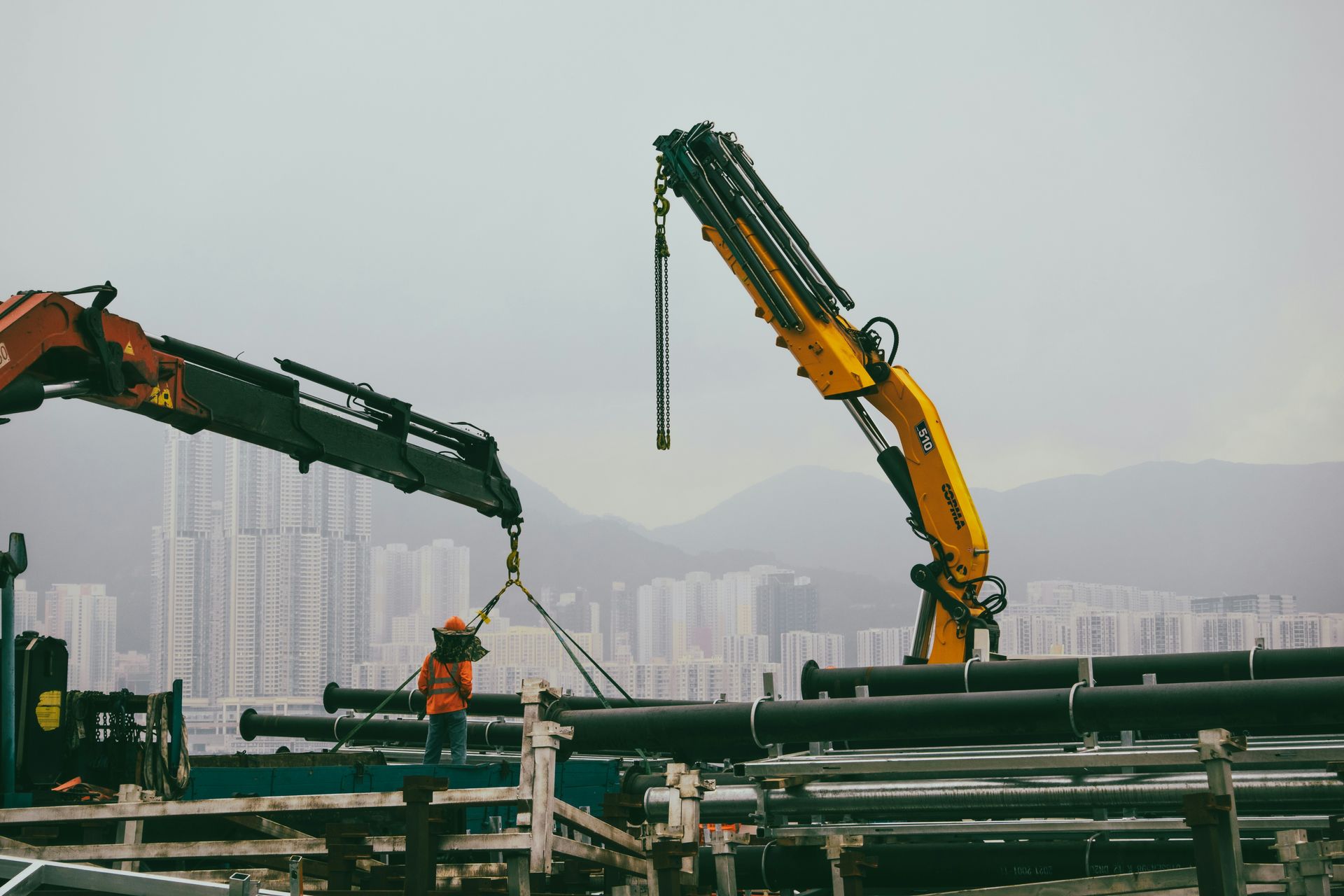
You can spot the mounds of earth, the concrete filling new ground, and the lumber standing by.
You know the plan, but it's hard to see the big picture when you're right in the middle of it.
Seeing new construction sites in Indianapolis from above completely transforms how you plan your next big project.
Think about it: for ages, you've grabbed your camera and snapped shots from the ground to track your project's steps.
But you've probably hit their limits.
What's presented doesn't show your key people the true scope and involvement of your project.
Professional aerial photos aren't just nice to look at.
They give you a crucial vantage point, revealing the important details you need to guide your construction project with confidence, every step of the way.
Ready to view your construction project from new heights?
Contact 1st Choice Aerials today to schedule your aerial photography, inspection, or thermal imaging service!
On This Page:
Why Traditional Progress Photos Are Falling Short
For decades, project managers have walked their sites with a camera.
You'll grab photos of a fresh concrete pad, a framing section that's all finished, or a newly paved parking area.
These photos serve a purpose, but they tell an incomplete story.
They show individual tasks but fail to show how those tasks fit together across the entire job site.
A photo of a single foundation footing doesn't communicate its relationship to the rest of the site's layout.
This fragmented view can make it challenging to convey the actual status of a project to clients or investors who aren't there every day.
The Game-Changing Perspective of Aerial Views
Imagine being able to see your entire construction project in a single, high-resolution aerial photo.
You can see the flow of machinery, the placement of materials, and the overall progress without ever leaving your office.
This elevated view gives you an incredible advantage in management and communication.
Seeing the Entire Site at a Glance
With a weekly or bi-weekly aerial photo, you get a consistent and comprehensive record of your site.
This lets you track real progress against your schedule.
Is the excavation moving as quickly as planned?
Are materials staged in the right place for the next phase?
These are questions you can answer in seconds with a drone photo.
It stops you from having to walk the whole site just to get a status update.
This comprehensive viewpoint also helps you identify potential bottlenecks before they become serious problems.
Improving Stakeholder Communication
One of the biggest challenges in construction is keeping everyone on the same page.
Investors, clients, and remote team members all want to know what's happening.
Sending them technical drawings or a batch of ground photos often just creates more questions.
High-quality aerial photos and drone videos are powerful communication tools because they are so easy to understand.
Providing a high-quality video or a stunning aerial photo creates a more engaging experience for everyone involved.
It builds excitement and helps investors feel more connected to their commercial real estate investment.
Enhancing Site Safety and Logistics
Safety is always a top priority on any construction site.
From an aerial perspective, you can spot potential hazards that might be missed from the ground.
You might see unsafe material storage, blocked access routes, or equipment operating too close to workers.
This "eye in the sky" view helps you maintain a safer work environment for everyone.
It also helps with logistics.
Planning the daily flow of delivery trucks, equipment, and crews is much easier when you can see the entire layout and identify the most efficient routes, a key aspect the Occupational Safety and Health Administration (OSHA) continually stresses as vital for accident prevention.
Indianapolis IN Aerial Photography for New Construction: From Dirt to Done
Aerial drone photography isn't a one-time service.
Its value changes and grows with your project, giving you critical information at every single phase.
Here's how drone services work from the very beginning to the final ribbon-cutting.
Pre-Construction and Site Planning
Before the first shovel ever hits the dirt, an aerial survey gives you an incredible head start.
High-resolution aerial maps, known as orthomosaics, can be created to provide you with a detailed and accurate view of the raw land.
This is far more useful than an outdated satellite image.
You can use this data to create topographical maps, plan site access, and determine the best locations for your staging areas.
It helps the civil engineers and architects work with a real-world model of the site.
This early data can help prevent costly surprises and redesigns down the road, whether for a large commercial property or a residential real estate development.
A professional drone service can also assist with specialized analysis.
For instance, aerial surveys can help determine the optimal placement for solar panel installations by analyzing shadows and sun exposure throughout the day.
This level of detail enables you to plan more effectively and present a stronger case to stakeholders or zoning boards.
During Construction: Tracking Your Progress
This is where the magic really happens.
Regularly scheduled flights give you a visual timeline of your build.
Seeing the site evolve from a bird's-eye view every week or two is invaluable for progress monitoring and keeping your project on track.
A good aerial provider can do more than just take photos.
They can use photogrammetry software to create 2D orthomosaic maps.
These maps can be overlaid week after week, showing exactly what has changed and where progress is being made.
You can also get volumetric measurements to calculate the size of dirt stockpiles or the amount of fill needed, giving you precise data for project management.
Drone aerial photography can also capture images for regular progress reports.
An experienced drone pilot can provide high-quality video and still photos that document every milestone.
These photography services are essential for both internal tracking and external communication.
Post-Construction: Your Best Marketing Asset

Once the project is complete, you will have a building to be proud of.
But how do you show it off?
Ground-level photos can't capture the scale of a new commercial building, a large solar farm, or a sprawling housing development.
Stunning aerial photos and cinematic 4K aerial video are some of the most potent marketing materials you can have.
They are perfect for your website portfolio, social media, and presentations to future clients.
They show not just the building, but its context within the community, making your work look its absolute best.
What to Look For in an Indianapolis Drone Service Provider
Not all drone pilots are created equal.
Hiring the wrong person can lead to poor quality images, safety issues, or even legal trouble.
Here's what you need to look for to get a true professional.
FAA Part 107 Certification is Non-Negotiable
Anyone flying a drone for commercial purposes must have a Remote Pilot Certificate from the Federal Aviation Administration (FAA).
This is often called a Part 107 certificate or an FAA-licensed pilot.
It proves the pilot understands the rules of the airspace, operating requirements, and safety procedures.
Asking for a pilot's Part 107 certificate is the first thing you should do.
Also, confirm they are fully insured with liability coverage specifically for drone operations.
This protects you and your project in the infrequent event of an accident.
Experience with Construction Sites
There is a big difference between a photographer who flies drones and a drone pilot who specializes in construction.
Someone with construction experience knows how an active job site works.
They understand the safety protocols and the kind of shots that are most useful to a project manager.
Experienced drone pilots know how to communicate with your site superintendent and work around your crew's schedule without causing disruptions.
A hobbyist might get a few nice photos, but a construction specialist will give you valuable data.
Always ask to see a portfolio of their previous aerial construction projects.
The Quality of the Deliverables

You need to ask what you'll actually receive after the flight.
Are the photos high-resolution enough to zoom in on details?
Is the drone video delivered in 4K?
Will you get access to a gallery with quick links to share with your team easily?
More advanced drone photography services will offer a range of deliverables.
These can include raw photos and videos, professionally edited highlight reels, 2D maps, and even interactive 3D models of your site.
An in-house editing team often means a faster turnaround time and more consistent quality.
Before committing to a photography project, ask for a free quote that details all the video and photography services included.
The best Indianapolis drone services will have a clear service area and may even serve the surrounding area, including cities like Terre Haute.
The Technology Behind Construction Drone Photography
You don't need to be an expert on the technology, but understanding the basics can help you appreciate what's possible.
The service is a combination of advanced hardware and sophisticated software working together.
Drones: More Than Just Flying Cameras
The professional drone used for construction work is an advanced tool.
They have high-stability GPS, obstacle avoidance sensors, and cameras that can capture incredibly detailed images and smooth video.
This drone technology allows for repeatable flight paths, so you can get the exact same shot month after month for perfect progress comparisons.
This ability to capture images from the same vantage point repeatedly is critical for creating accurate time-lapse videos.
These drone videos offer a powerful visual narrative of your project's entire lifecycle.
It's a compelling asset for both internal reviews and external marketing.
Software That Turns Pictures into Data
The real power comes from the software used after the flight.
Photogrammetry software stitches hundreds or thousands of individual aerial photos together into a single, geographically accurate map or 3D model.
Programs like DroneDeploy and Pix4D are industry standards that turn simple images into actionable intelligence for your project.
An in-house editing team uses this software to generate the highest quality deliverables for your residential or commercial real estate project.
The data from an aerial drone can be integrated directly into your existing project management workflows.
This provides a seamless flow of information from the field to your office.
Conclusion
Ultimately, you want your construction project to be safe, on schedule, and on budget.
Traditional methods can only take you so far.
To get a true competitive edge and manage your job site with better information, you need a better perspective.
That's exactly what professional aerial photography gives you.
From pre-construction surveys in Indianapolis, Indiana, to final marketing videos, an Indianapolis drone photography service offers immense value.
The team of FAA-certified drone pilots is ready to provide the high-quality aerial imagery and data you need.
We highly recommend exploring these services for your next build.
Ready to view your project from new heights?
Contact 1st Choice Aerials today to schedule your aerial photography, inspection, or thermal imaging service!


