
Exploring How Drones Improve Construction Site Efficiency
Over many decades, the construction industry's quality assurance depended on human-performed site checks, a system that was notably inefficient and susceptible to inaccuracies.
Getting a complete picture of a large job site meant sending surveyors out with stakes and GPS rovers.
This process could take days or even weeks, depending on the terrain and the scope of the construction activities, and was not always accurate.
Checking site safety also brought plenty of headaches.
Sending a worker up on high scaffolding or into a deep trench simply to inspect something is always risky.
For ages, this business has been searching.
It wants better, safer, and faster ways to run those tricky work zones.
Drones have proved to be one of those ways as we are going to discuss.
Ready to view your construction project from new heights?
Contact 1st Choice Aerials today to schedule your aerial photography, inspection, or thermal imaging service!
On This Page:
How Drones Improve Construction Site Efficiency From Above
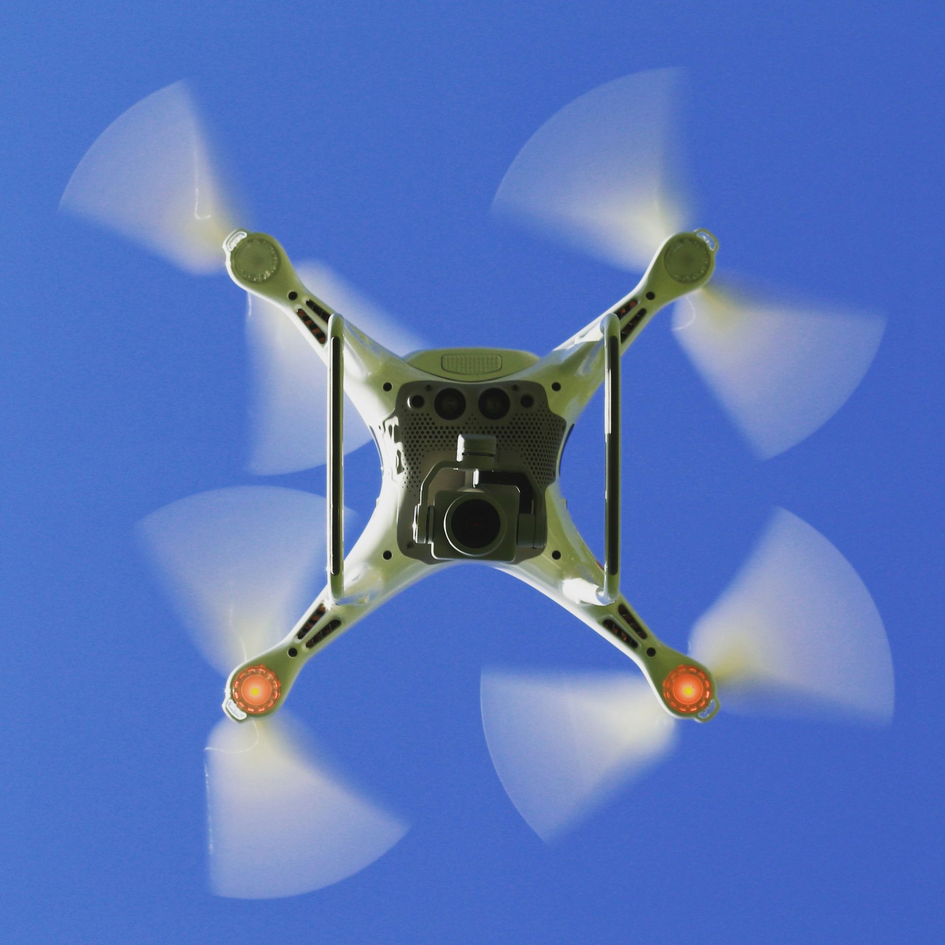
Drones provide an incredible bird's-eye view of your entire operation.
Think of it as having an on-demand eye in the sky.
You get instant, precise facts from this view.
Collecting that information is also much safer than the old ways.
Drones use top-notch cameras and smart sensors to grab raw data.
This raw data, once analyzed, becomes beneficial intelligence, helping you make smart choices.
Faster and More Accurate Site Surveys
Before any ground is broken, you need a detailed understanding of the land.
Traditionally, this meant a crew of surveyors walking the site for days, a process that required significant manual labor.
A mapping drone can complete the same site surveying work in just a few hours.
Using a technique called photogrammetry, a construction drone flies a pre-planned grid pattern over the site, taking thousands of high-resolution photos.
Software then stitches these photos together to create incredibly detailed 3D models and topographic surveys.
You'll get precise plans for how to grade the site, where to dig, and where to put all your utilities.
According to a study on drone mapping accuracy, this method can produce survey-grade results over large areas much faster than ground crews.
Your project can begin right away.
This also means you'll spend less on those first land inspections.
You can also easily recheck the site as the building continues.
This means no big holdups for the crew.
Keeping Projects on Track with Progress Monitoring
How do you know if your construction project is really on schedule?
Weekly progress photos from the ground can only tell you so much.
Drones change this completely by providing consistent and comprehensive site overviews.
You can schedule automated drone surveys to happen daily or weekly, capturing the entire site from the same angles every single time.
You'll get a straightforward log of everything completed, sketching out the project's journey from start to finish.
You can even use a live video feed to check on specific construction activities as they happen.
You can then overlay this drone data on top of your digital blueprints or Building Information Models (BIM).
This makes it incredibly easy to spot differences between the plan and the reality on the ground.
Catching a mistake early through this proactive approach helps save a massive amount of money and prevents big delays down the road.
Enhancing Worker Safety
Nothing is more important than improving site safety for your team.
Work zones for construction are risky.
Many injuries occur simply from checking those hard-to-access spots.
Drones can go where it's too dangerous for people.
This means your workers stay safe, and you still get those vital safety checks done.
Instead of sending someone up a ladder to check a roof, you can fly a drone.
Instead of putting a worker in a trench to inspect shoring, a drone can get a clear view without any human risk.
When you plan things out, you greatly lower the chances of falls, structural failures, and other common mishaps on the job.
Drones are fantastic for keeping an eye on your entire property.
They can quickly find any safety issues or dangers before something goes wrong.
Are workers wearing their personal protective equipment, and are materials stored correctly?
OSHA points out that drones can make work sites much safer.
They fly over, spotting dangers from a distance and keeping every person on the ground out of harm's way.
More Than Just Pictures: Drone Data in Action
The images and videos from a drone are just the beginning.
The real power comes from the data you can pull from that imagery.
Knowing this stuff helps you lead projects like a seasoned pro.
You'll handle everything better, from making sure you have enough parts to keeping your clients and staff totally in the loop.
Raw data gets transformed by new software into detailed reports and working models.
From above, drones scoop up facts that let you gauge distances, total up spaces, and watch for any shifts happening.
Visuals, like a photo of a factory floor, become solid business facts.
This lets you make smart choices that guide your projects to a successful finish.
Better Inventory and Asset Management
Big construction sites can feel like small cities, and keeping track of all the materials, equipment, and stockpiles is a huge job.
It's easy for things to get lost, misplaced, or even stolen. Drones come to the rescue.
They fix a bunch of these shipping headaches.
A quick drone flight over the site can give you an accurate inventory count.
Specialized software can automatically identify and count assets.
It can also measure the volume of stockpiles, like sand or gravel, with high precision, removing the guesswork from manual estimates.
Project managers can easily see exactly what supplies are ready to go.
Your inventory moves far more efficiently.
You'll see fewer items disappear, and you'll procure exactly what you need, right when it's needed.
This avoids paying for materials to sit around for weeks or, even worse, not having them when you need them to keep the project moving.
Improved Communication with Stakeholders
Trying to explain the progress of a complex project to a client or investor can be difficult.
Spreadsheets and verbal updates don't always paint a clear picture.
Drone cameras paint a picture anyone can read.
A simple video fly-through of the site is a powerful communication tool.
It can be shared in weekly reports to show exactly where the project stands.
Being upfront establishes a solid foundation of belief.
It also means every person shares the same understanding.
Drones and Environmental Responsibility
Modern construction practices are increasingly focused on sustainability.
Think about using drones to monitor the environment.
You can quickly spot changes and confirm that everyone is sticking to the rules.
So, businesses can handle projects more thoughtfully.
Using drones means fewer big trucks rolling over the land for quick checks.
This keeps the ground and plants from getting messed up.
Looking at a site from up high means you can pick paths that barely touch the natural surroundings.
Picture drones soaring, their smart sensors checking for problems like too much dust or messy water runoff.
Following nature's rules becomes easier with this data.
It also proves our serious focus on building green.
Getting ahead of environmental issues stops fines and helps people see you in a good light, because you're doing less harm to nature.
| Metric | Traditional Method | Drone Method |
|---|---|---|
| Surveying Time | Days to weeks | Hours |
| Inspection Safety | High risk for workers | No human risk |
| Data Accuracy | Good, but slow | High, and fast |
| Progress Reporting | Manual photos, notes | Automated, shareable 3D models |
Getting Started with Drones on Your Site
Bringing drones onto your construction projects doesn't have to be complicated.
You have two main paths you can follow.
Establishing an internal drone operation represents one approach.
Conversely, engaging a specialized external provider offers an immediate solution.
Taking charge of your own team means you call every shot, but be ready to shell out cash for drones, software, and training everyone.
Your pilots will need to be certified under the FAA's Part 107 rules to operate commercially.
For your large company, if you're constantly juggling many different projects, this could bring you real value.
A lot of companies find it's smarter to bring in a firm focused on aerial data collection.
They already have the certified pilots, the best equipment, and the experience to get you the data you need.
You get to stick with what you're great at—building things—and still profit from the booming drone industry.
To grasp what you've gathered, you'll want to pick up some software too.
Platforms from companies like DroneDeploy or Propeller Aeroare built for the construction industry.
You can easily process images, build maps, and share findings with your entire crew.
This directly leads to much better site management.
Conclusion
Drone technology helps businesses gather crucial facts, which then makes building projects much better.
From the initial survey to the final handover, they give you information that makes your project faster, more affordable, and much safer.
Picture knowing exactly how your project is going.
You'll easily manage your equipment and keep all relevant parties in the loop.
Drones also actively help your company meet environmental targets and build a workplace where safety comes first.
Construction companies serious about staying ahead need to figure out how drones can make their work sites run smoothly.
Ready to view your project from new heights?
Contact 1st Choice Aerials today to schedule your aerial photography, inspection, or thermal imaging service!


