
Indianapolis Drone Services Boost Commercial Real Estate
You're standing on a muddy plot of land just outside the I-465 loop.
You see the potential for a new commercial center.
But then the tough realities surface: getting the land's slope right, directing water effectively, and convincing your investors to genuinely share in your long-term view.
For a long time, Indy's commercial builders continued to operate traditionally.
Old-school ground checks move slowly, and the maps they create often miss important details.
Indianapolis drone services are truly shaking up how commercial real estate projects get off the ground.
We're talking about much more than just pictures from the sky.
It's really about taking solid information and using it to construct things in a more intelligent, quicker, and money-making way.
Ready to view your construction project from new heights?
Contact 1st Choice Aerials today to schedule your aerial photography, inspection, or thermal imaging service!
On This Page:
Stuck in the past? Your projects won't move.
Picture your usual routine when you're launching a brand-new commercial building project.
You get a survey team out on the construction site, a process that can take days or even weeks to complete.
You then try to explain the site's layout to stakeholders with flat, 2D drawings that lack perspective and detail.
These methods are not only slow, but they are often inaccurate, creating risk from the very start.
A ground surveyor can miss subtle elevation changes that affect your whole site plan.
This can lead to costly rework, project delays, and budget overruns down the road.
Relying on these outdated processes costs you valuable time and money.
Every day a project is delayed is another day of carrying costs and lost opportunity.
There is a much better way to manage your commercial property developments from start to finish.
The New Standard: Indianapolis Drone Services for Commercial Real Estate Development
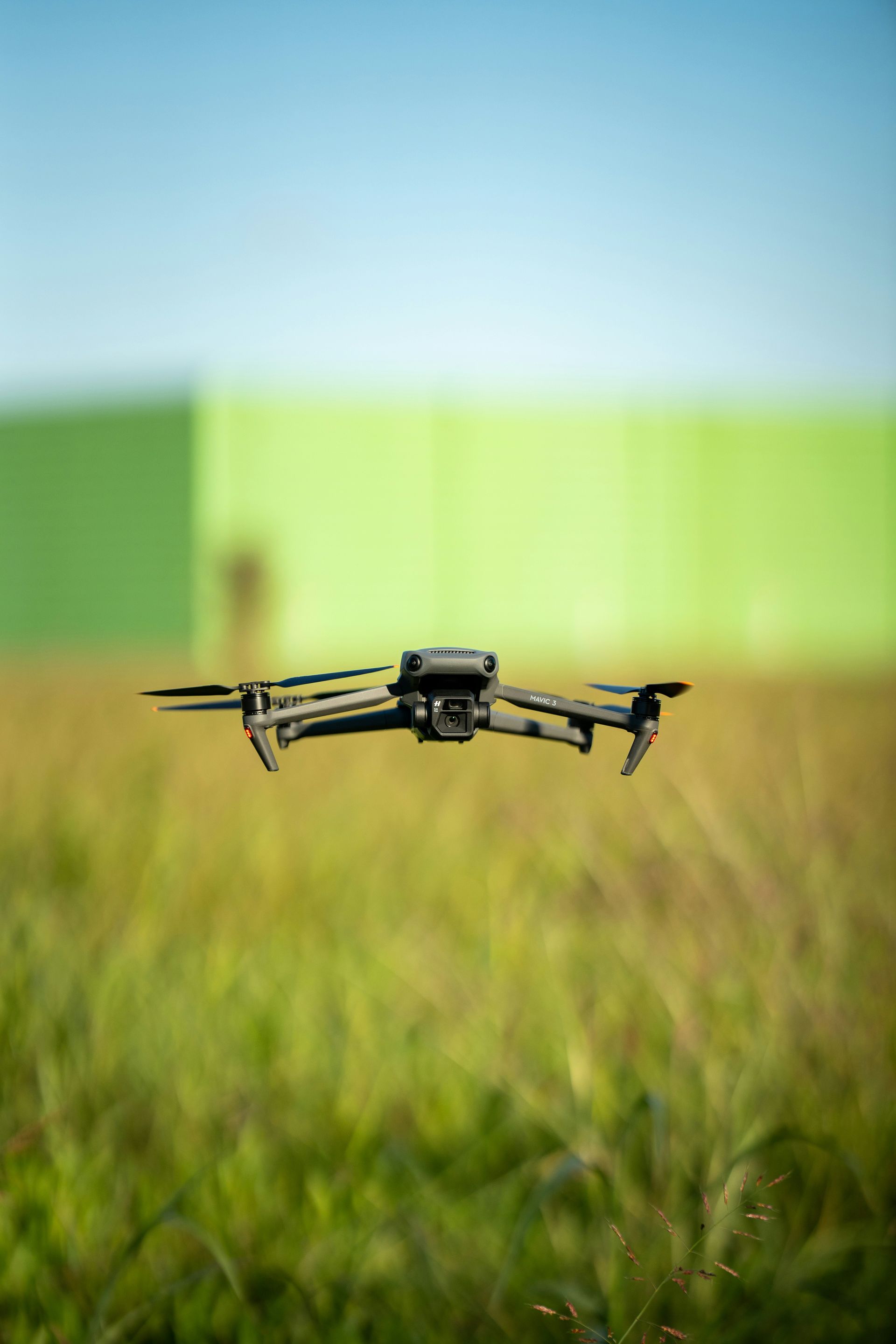
Drones are becoming an indispensable tool on construction and development sites across Central Indiana.
They are not just for hobbyists anymore, as they represent a significant leap in drone technology.
They are sophisticated data-gathering machines that give you a perspective you cannot get from the ground.
Imagine getting a complete survey of a 50-acre property in just a few hours instead of a few weeks.
Imagine showing your investors a realistic 3D model of the proposed commercial real development before a single shovel hits the dirt.
This is what modern drone services bring to the table for photography in Indianapolis.
This advanced drone technology provides precision and clarity that helps everyone involved.
From the architect to the investor, everyone gets a better understanding of the project's scope and progress.
Data That Drives Decisions
The real power of a professional drone lies in the data it collects.
This is not about snapping a few drone photo images from the air.
It is about creating detailed maps and models that your team can use to make actionable decisions.
We are talking about tools like orthomosaic maps, which are incredibly useful for any commercial real estate project.
These are high-resolution, map-quality images created by stitching hundreds of individual photos together.
Your team can zoom in to capture detailed information and measure distances with incredible accuracy.
You also get digital elevation models and 3D point clouds from a professional drone service.
This information is vital for calculating earthwork volumes and planning site grading with precision.
You can know exactly how much dirt you need to move before you ever bring in heavy equipment, saving a fortune on logistics.
Keeping Stakeholders Happy and Informed
How often do you have to field calls from anxious investors wanting a construction progress update?
Trying to explain complex construction stages over the phone or with a few ground-level photos is tough.
It often leaves people with more questions than answers.
Drone imagery and aerial video make this so much easier.
A weekly aerial drone photography update or a series of dated overhead photos can clearly show the progress being made on site.
This transparent and professional reporting builds confidence and keeps everyone aligned.
This type of regular, visual reporting keeps everyone on the same page and enhances communication through clear social media updates or internal reports.
It reduces misunderstandings and lets you focus on building, rather than just communicating what you have built.
The clarity offered by a drone video can be the difference between a smooth project and a stressful one.
From Dirt to Deal: The Drone's Role at Every Stage
Drones are not a one-trick pony; they add significant value throughout the entire lifecycle of a commercial real estate project.
An indy drone service is a multifaceted partner in your success.
Let's break down how drone photography services fit into each critical stage of your development.
Stage 1: Site Selection and Feasibility
Before you even sign the purchase agreement, an aerial drone can give you a huge advantage.
You are looking at a potential site for a new logistics warehouse or a retail strip.
How can you be sure the land is suitable when you choose Indy for your next project?
A drone flight can capture a comprehensive view of the property in a fraction of the time it would take to walk it.
An aerial photography project helps you identify potential problems early on.
Things like unforeseen drainage issues, problematic slopes, or access challenges become immediately obvious from the air.
With this bird's-eye view from stunning aerial shots, you can make a more informed decision about the land's potential.
This early insight can save you from a very costly mistake and help you negotiate better terms.
Stage 2: Pre-Construction and Planning
You have acquired the land for your commercial property.
Now the real planning starts.
The accuracy of your initial site plans can make or break your budget and timeline, and this is where an experienced drone pilot shines.
Drone surveying generates highly accurate topographic maps.
Architects and engineers use this data to create precise site plans for everything from parking lots to utility lines.
According to the Federal Aviation Administration, commercial drones operate under a clear set of regulations known as Part 107.
A professional drone company ensures all flights are compliant, safe, and effective.
Having this accurate data early simplifies getting permits and plan approval from local authorities.
Stage 3: During Construction
The construction phase is where the moving parts can get complicated, and diligent oversight is required.
Keeping the project on schedule and on budget is your top priority.
Drones become your eyes in the sky, overseeing the entire operation with unparalleled clarity.
Weekly or bi-weekly flights for drone aerial monitoring can track progress against the plan.
You can overlay the drone images on top of the design blueprints.
This instantly shows if work is falling behind or if something has been built in the wrong place.
This is also great for managing resources through drone inspections.
Drones capture images that can quickly measure stockpiles of materials like gravel or sand, helping you verify deliveries and track usage.
As research from industry publications like Construction Dive often points out, this level of project management helps catch small problems before they become big, expensive ones.
Stage 4: Post-Construction and Marketing

You have finished the build, and the property looks fantastic.
Now you need to lease or sell the space.
High-quality visuals are everything in today's competitive real estate market, especially when it comes to estate photography in Indianapolis.
A professional aerial team can capture stunning aerial photos and breathtaking aerial video that showcase the property in its best light.
They can show off the location, nearby amenities, and the scale of the development in a way ground photography never could.
These visuals from your drone photography partner are perfect for a marketing video, brochures, and your social media campaigns.
Beyond marketing, drones are also used for final as-built surveys and a final drone inspection.
This provides a detailed record of the completed project for your archives.
This documentation is valuable for facility management, future reference, and project closure with stakeholders.
What to Look For in a Drone Service Provider
Just because someone owns a drone does not mean they can deliver the professional data and reliability you need for a commercial project.
Choosing the right drone company is critical for your success.
FAA Part 107 Certification is Non-Negotiable. This is the absolute first thing you should ask about any Indiana drone operator.
Any pilot operating a drone for commercial purposes must have an FAA Part 107 Remote Pilot Certificate.
This certification means the pilot understands airspace regulations, weather effects, and safe flight operations.
Working with uncertified drone pilots puts your project and company at significant legal and financial risk.
There is simply no reason to take that chance with your commercial real estate investment.
Experience in Commercial Real Estate
A pilot who shoots weddings has a different skillset from one who works on a construction site.
You need photography services from a provider who understands your world.
Experienced Indianapolis drone pilots know the local landscape and can speak your language.
Look for a company with a portfolio of commercial real estate or construction projects.
Ask these experienced Indianapolis drone pilots about their work with orthomosaic mapping or stockpile calculations.
This proves they have the specific expertise your real estate photography project requires.
The Right Equipment and Software
Professional drone services Indianapolis providers invest in high-quality equipment.
This includes drones with high-resolution cameras and sometimes even specialized sensors like LiDAR for extremely detailed elevation data.
Good equipment is the foundation for better data and stunning visuals.
They should also be using sophisticated software and have a skilled editing team to process the images and create the maps and models you need.
Ask about the deliverables from their editing services and the formats they provide.
You should expect more than a folder of JPG files; you need actionable data files compatible with your design software.
Conclusion
The skyline of Indianapolis is constantly changing, with new opportunities rising all the time.
To succeed in this competitive environment, you need to use every advantage you can get.
Drones are no longer a future-looking gadget; they are a practical and powerful tool for today's market.
Hiring an Indianapolis drone service gives you better data, saves you a great deal of time, and helps you control costs throughout your project.
From finding the perfect piece of land to creating a compelling marketing video to lease it, drones have a place in your process.
Get in touch with an expert today to receive a free quote and discuss your project.
Ready to view your project from new heights?
Contact 1st Choice Aerials today to schedule your aerial photography, inspection, or thermal imaging service!


