Dayton Ohio Construction Project Monitoring Drone: A Guide
Running a building site feels like juggling multiple balls.
You constantly manage money, project timelines, and what others expect.
Imagine how challenging this work is already.
Now, add in using completely outdated information.
You're likely exhausted from pacing the job site, squinting at week-old drawings, hoping they still line up with reality.
People make choices using information that's already off.
Imagine sitting in your trailer, but still seeing every move on your project, every single day—no need to step foot outside.
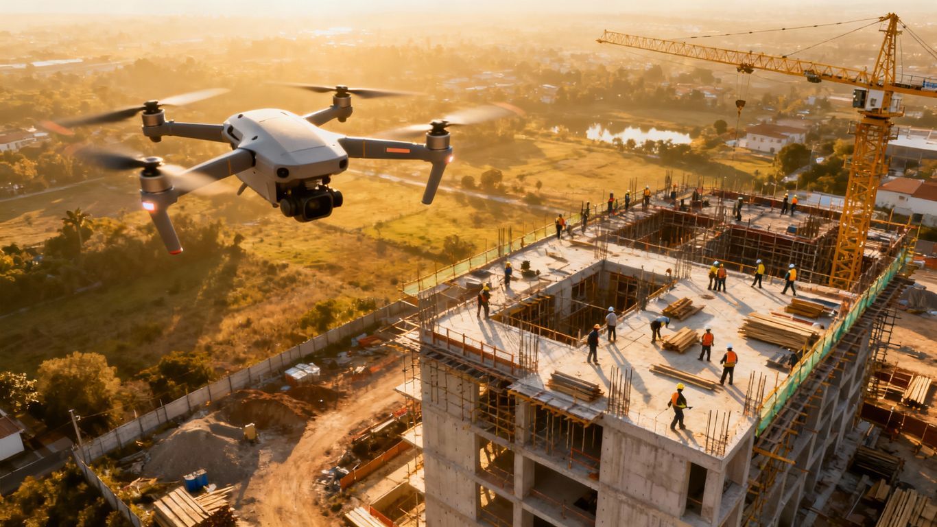
A Dayton Ohio, construction project monitoring drone gives you precisely that.
Imagine getting precise data that saves you work hours and keeps more money in your pocket.
A drone service watching your Dayton, Ohio, construction site changes how you see the entire job.
From the first shovel of dirt to the last inspection, you'll spot issues early, stopping big delays before they even start.
Ready to view your construction project from new heights?
Contact 1st Choice Aerials today to schedule your aerial photography, inspection, or thermal imaging service!
On This Page:
Why standard project check-ins don't quite cut it anymore.
Let's face it, old methods for tracking a build site really fall short.
Relying on someone walking the site with a clipboard and camera has been the standard for decades.
But that method is neither efficient nor entirely accurate.
You get a handful of ground-level photos that only show small parts of the whole picture.
Progress reports are often subjective and can be days or even weeks behind the actual work happening on site.
This information gap often leads to disputes with subcontractors over work completion or material quantities.
These delays in information create bigger problems down the line.
A minor issue with grading could go unnoticed for a week.
By then, fixing it costs thousands of dollars and disrupts the entire schedule; reducing costs becomes impossible once the error is compounded.
This lack of clear, up-to-date information is a constant source of stress and budget overruns for construction projects across Ohio.
The New Standard: Your Dayton Ohio Construction Project Monitoring Drone
Imagine having a complete, high-resolution map of your job site updated weekly.
Think about seeing construction progress in a way that is impossible from the ground.
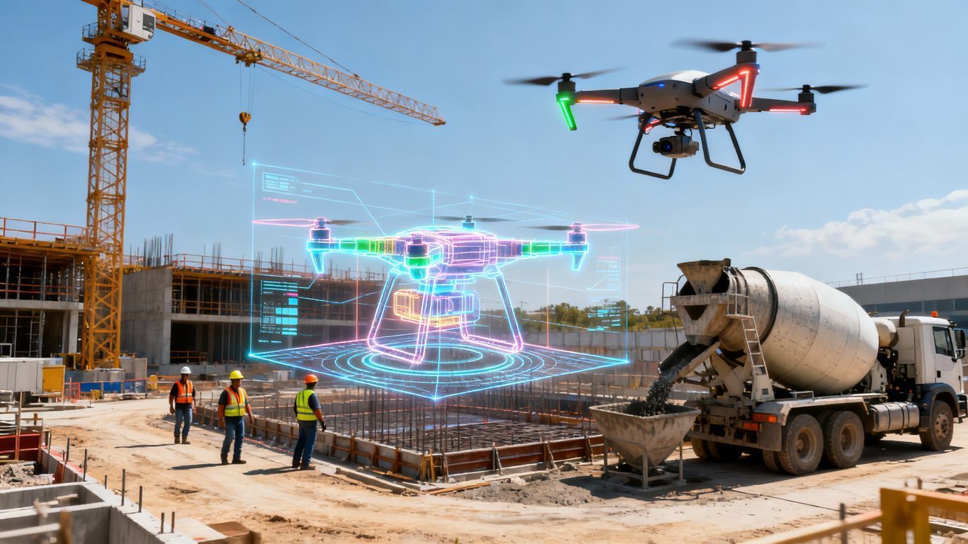
This is what a dedicated Dayton Ohio construction project monitoring drone brings to your project.
It changes the entire flow of information on the construction site.
Suddenly, you have a single source of truth that everyone can trust.
This moves your team from reacting to problems to actively preventing them.
Get a True Bird's-Eye View
An unmanned aerial vehicle doesn't just take pictures; it is designed to collect data.
Hundreds or thousands of overlapping aerial photos are stitched together by powerful software.
This process creates a detailed, measurable 2D map called an orthomosaic.
You can zoom in on any part of the site with incredible clarity.
A professional drone company can also generate 3D models of the terrain and structures.
This gives you a perspective you've never had before, showing you the real state of your project and helping to identify potential problem areas early.
Data You Can Actually Use
Stunning aerial photography is impressive, but usable, accurate data is what really matters for construction management.
Drone mapping software can perform a volumetric analysis of dirt stockpiles with high accuracy.
You can verify how much earth your subcontractors have moved, so you only pay for the work that is done.
This data integrates directly with your existing CAD or BIM files.
You can overlay drone maps with your design plans to see if the work on the ground matches the blueprint.
This process helps you catch deviations early, saving significant amounts of money on rework.
Keeping Everyone on the Same Page

How many meetings have been spent arguing over project status because of conflicting reports?
Drone data puts an end to that.
Everyone from the project owner to the site foreman sees the same information, providing clear visual evidence of construction progress.
You can share a link to a cloud platform with all stakeholders.
An investor in another state can see the week's progress without getting on a plane.
This transparency builds trust among the construction company team and makes collaboration much smoother.
Key Applications for Drones on Your Dayton Construction Site
Using commercial drones is not a single-task solution; it is a flexible tool that offers value through every phase of a construction project.
Here are some of the most powerful ways to use these aerial vehicles.
1. Pre-Construction Surveying and Site Planning
Before breaking ground, a local drone can save you a ton of time and money.
Traditional land surveying is slow, expensive, and can put crews in harm's way on difficult terrain.
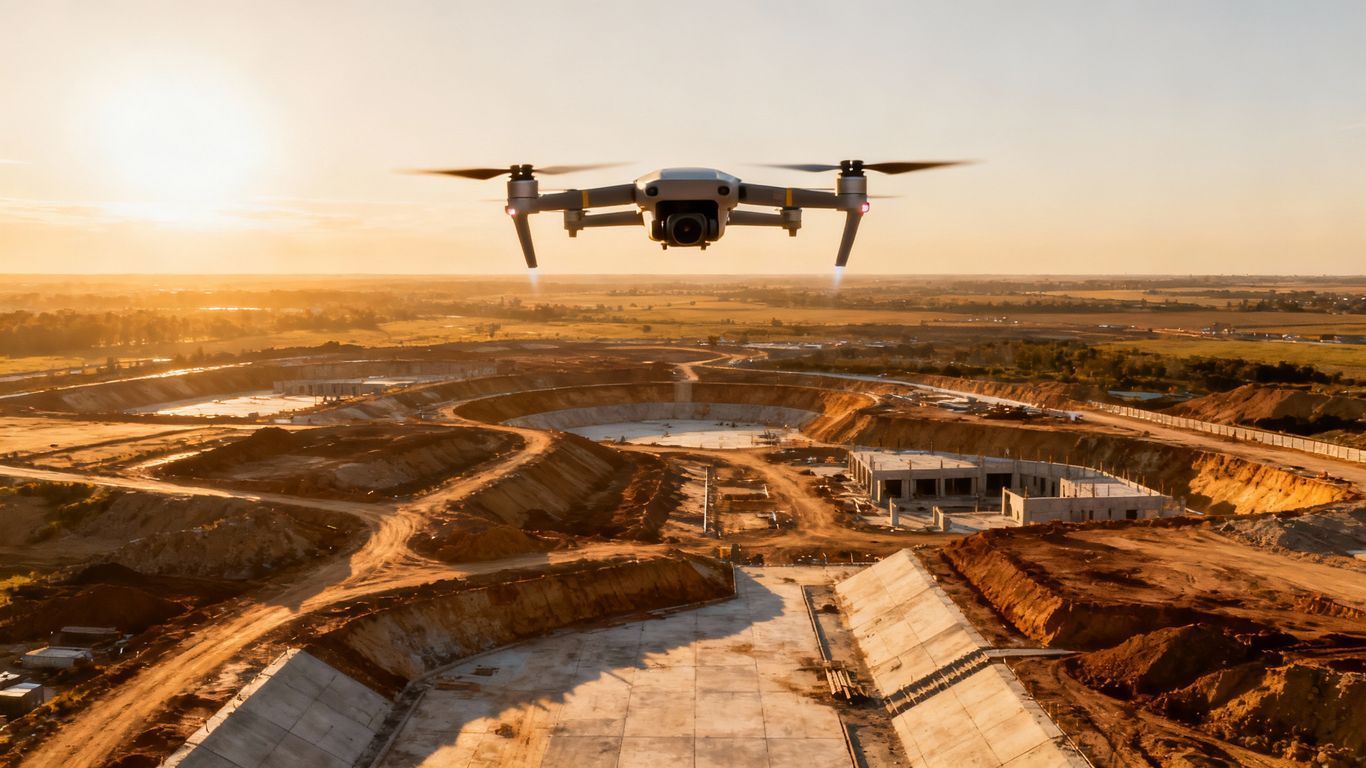
A drone can perform aerial mapping of hundreds of acres in a single day.
This produces a highly accurate topographic map of your site, which can be supported by ground control points for survey-grade results.
This data helps with geotechnical engineering assessments, site layout, drainage planning, and overall design.
The speed and safety of drone surveying make it an indispensable tool for modern construction companies in areas like Tipp City and Huber Heights.
2. Earthwork and Volume Calculations
Tracking earthmoving is one of the biggest challenges in the early stages of building projects.
Drones make this exact and straightforward through volumetric analysis.
By flying the site before and after grading, you can precisely measure the volume of soil that was moved.
You can also get quick measurements of stockpiles for gravel, sand, or topsoil.
This helps you manage your materials better and verify invoices from suppliers and excavation contractors.
You will know for certain that you got what you paid for, reducing costs associated with material disputes.
3. Ongoing Progress Monitoring

This is where drone services provide exceptional value.
Regular flights, weekly or bi-weekly, create a visual timeline of your project.
You have a historical record of drone photos that shows exactly what happened and when.
This is powerful for progress reports and to schedule and monitor tasks effectively.
Instead of just writing about what was completed, you can show it with compelling aerial views.
Overlaying the weekly drone imagery on the site plans gives you a clear report card on how the project is tracking against the schedule.
4. Safety and Compliance Inspections
Job site safety is a top priority. A drone helps you identify potential hazards without putting anyone at risk.
A qualified drone pilot can perform detailed roof inspections or check scaffolding and the leading edges of structures from a safe distance.
Special inspections can be conducted quickly and efficiently.
For instance, using thermal imaging cameras, drones can detect water intrusion, insulation gaps, or even issues with newly installed solar panels.
This documentation is also excellent for compliance with the Federal Aviation Administration (FAA) and OSHA, providing a visual record of site conditions.
5. As-Built Documentation and Project Handover
When the project is finished, a final drone flight creates a perfect as-built record.
This is an accurate, detailed map and model of the completed work.
It is far more helpful than a stack of drawings for both real estate and facility management purposes.
This final dataset is incredibly valuable for the commercial property owner.
It helps with future maintenance, repairs, or renovations, providing a clear reference for the building's infrastructure.
The facility management team gets a powerful tool right from the start, improving long-term operational efficiency.
Finding the Right Drone Partner for Your Project
When choosing a partner, you want to look for more than just a person with a drone.
You need a professional drone company focused on the construction industry.
Look for a company with a proven track record of working on commercial and industrial projects in the Dayton and Ohio drone market.
Ask to see case studies and examples of their work and the types of reports they create.
Make sure they carry the right amount of liability insurance for a construction environment.
You should also ask about their process and the equipment designed for their work.
How do they create accurate data?
What software do they use for lidar mapping or thermal imaging?
A good partner will be happy to explain their entire workflow, have a clear privacy policy, and show you how their services can bring value to your building projects.
Conclusion
In today's competitive construction market, you cannot afford to work with old information.
The challenges of keeping a construction project on time and on budget are too significant.
The small investment in drone services pays for itself many times over by preventing costly mistakes and delays.
With advanced drone technology, you get the clarity and confidence needed to lead your project effectively.
Ready to view your project from new heights?
Contact 1st Choice Aerials today to schedule your aerial photography, inspection, or thermal imaging service!


