How Thermal Drones Revolutionize Water Drainage and Field Tile Evaluation
Efficient water drainage and field tile systems are essential for optimal crop yields.
Traditional evaluation methods are often time-consuming, labor-intensive, and imprecise.
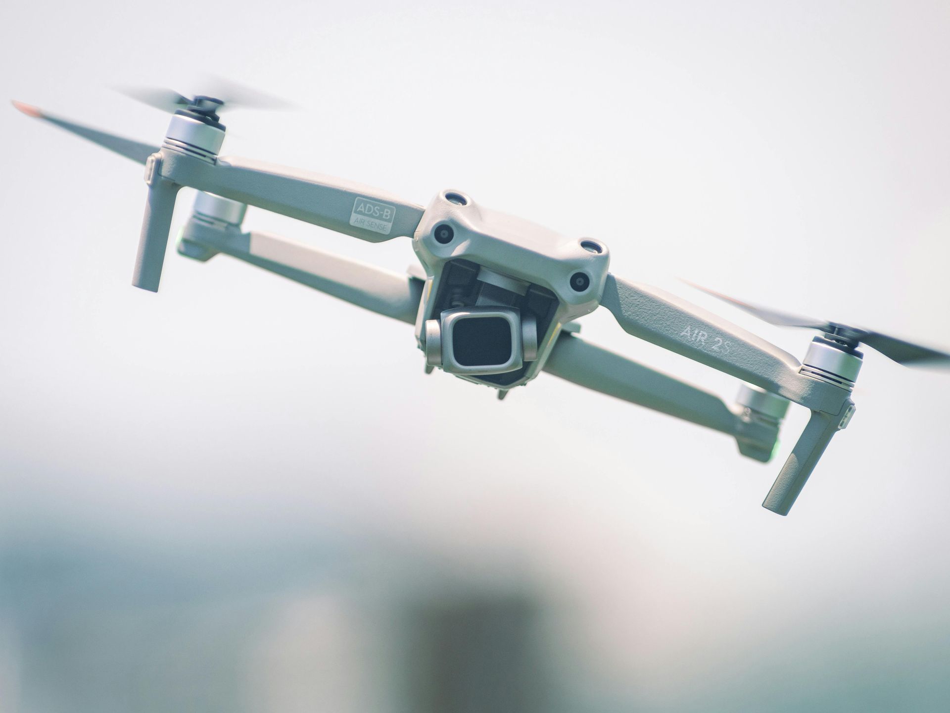
Thermal drones offer a groundbreaking solution to these challenges.
Challenges in Traditional Evaluation
Waterlogged soils and inefficient drainage can harm crops.
Field tiles, which help manage excess water, can become clogged or damaged over time.
Traditional inspections require manual digging and lack precision, making it difficult to identify specific problem areas.
Advantages of Thermal Drones
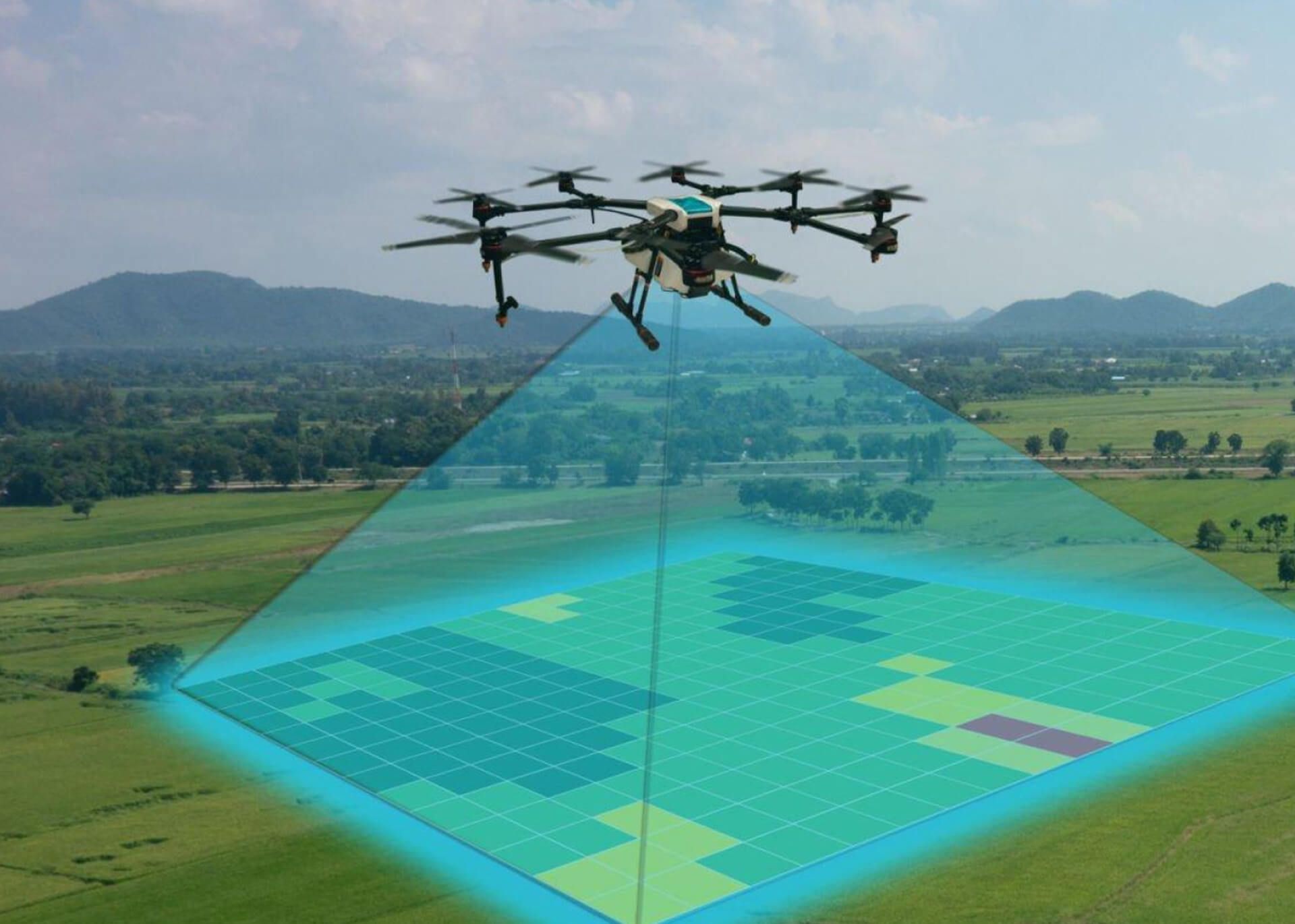
Comprehensive Field Surveys: Thermal drones can quickly survey large areas, capturing thermal images that highlight temperature variations due to moisture differences, making it easier to spot drainage issues.
- Precise Problem Detection: Thermal imaging reveals moisture levels, pinpointing areas with poor drainage or faulty field tiles, allowing for targeted repairs.
- Non-Invasive: Unlike traditional methods, thermal drones assess drainage systems without disturbing the field, preserving soil and crop integrity.
- Data-Driven Insights: The thermal data is analyzed to generate detailed reports, enabling informed decisions on system improvements.
- Cost-Effective: Thermal drones reduce the need for manual inspections and minimize disruptions, saving time, labor, and resources.
Case Study: Enhanced Field Tile Evaluation
1st Choice Aerials recently used thermal drones to assess a farm’s field tiles, uncovering clogged and misaligned areas.
Targeted repairs based on the drone's findings significantly improved the farm's water management and crop yield.
Embrace Advanced Agricultural Management
Thermal drones transform water drainage and field tile evaluation, offering efficiency, accuracy, and cost savings.
First Choice Aerials is committed to providing advanced drone services that help optimize agricultural practices.
For more information, visit www.1stchoiceaerial.com or call (937) 403-8622.