
Accurate Aerial Surveys. Faster Data. Better Decisions.
Our drone surveying services in Ohio provide fast, accurate aerial data collection for construction, engineering, land development, mining, and infrastructure projects. Using advanced drone mapping technology, we capture high-resolution imagery that produces detailed orthomosaic maps, 3D models, elevation data, and topographic information while significantly reducing field time. Whether you're planning a new development, monitoring site progress, or documenting existing conditions, our drone surveys deliver reliable data that supports better planning and more informed decision-making. Drone surveying services are available throughout Columbus, Dayton, Cincinnati, Toledo, Akron, Cleveland, and across Ohio.
Project & Use Case Examples
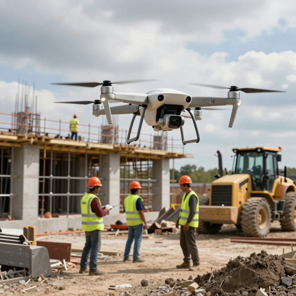


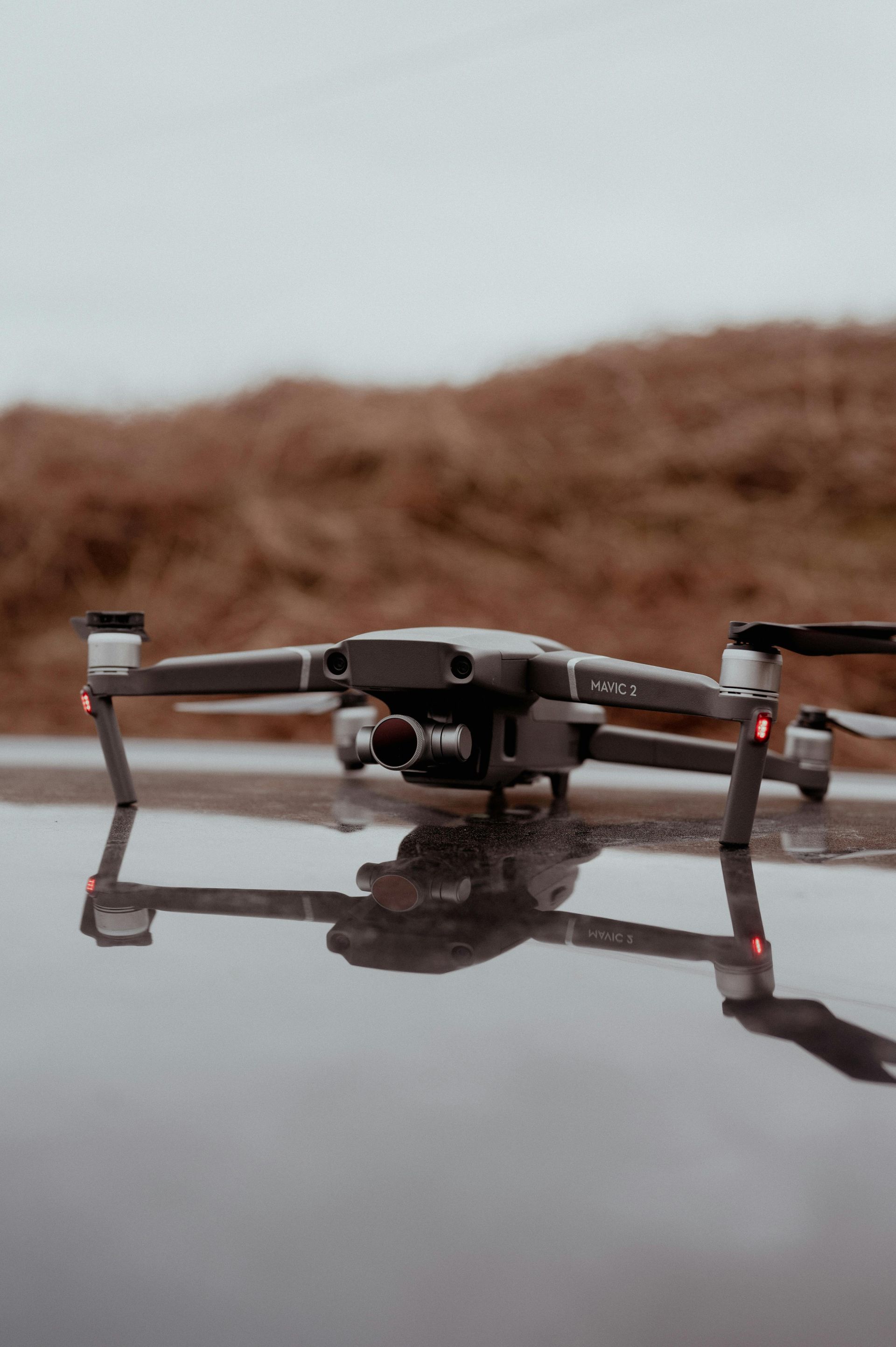


Professional Drone Surveying for Commercial Projects
Drone surveying provides a faster, safer, and more cost-effective way to collect accurate site data for commercial projects across Ohio. Our aerial surveys produce orthomosaic maps, 3D models, elevation data, point clouds, and high-resolution imagery that support engineering, construction, planning, and land development. By reducing time spent in the field while capturing comprehensive site information, drone surveying helps project teams improve accuracy, streamline workflows, and make better decisions throughout every stage of a project.
Recent Projects
We've completed drone surveying projects across Ohio for contractors, engineers, developers, and industrial clients. Recent work includes aerial surveys for commercial developments, topographic mapping, construction site documentation, infrastructure projects, and existing conditions surveys that provide accurate data for planning, design, and project management.
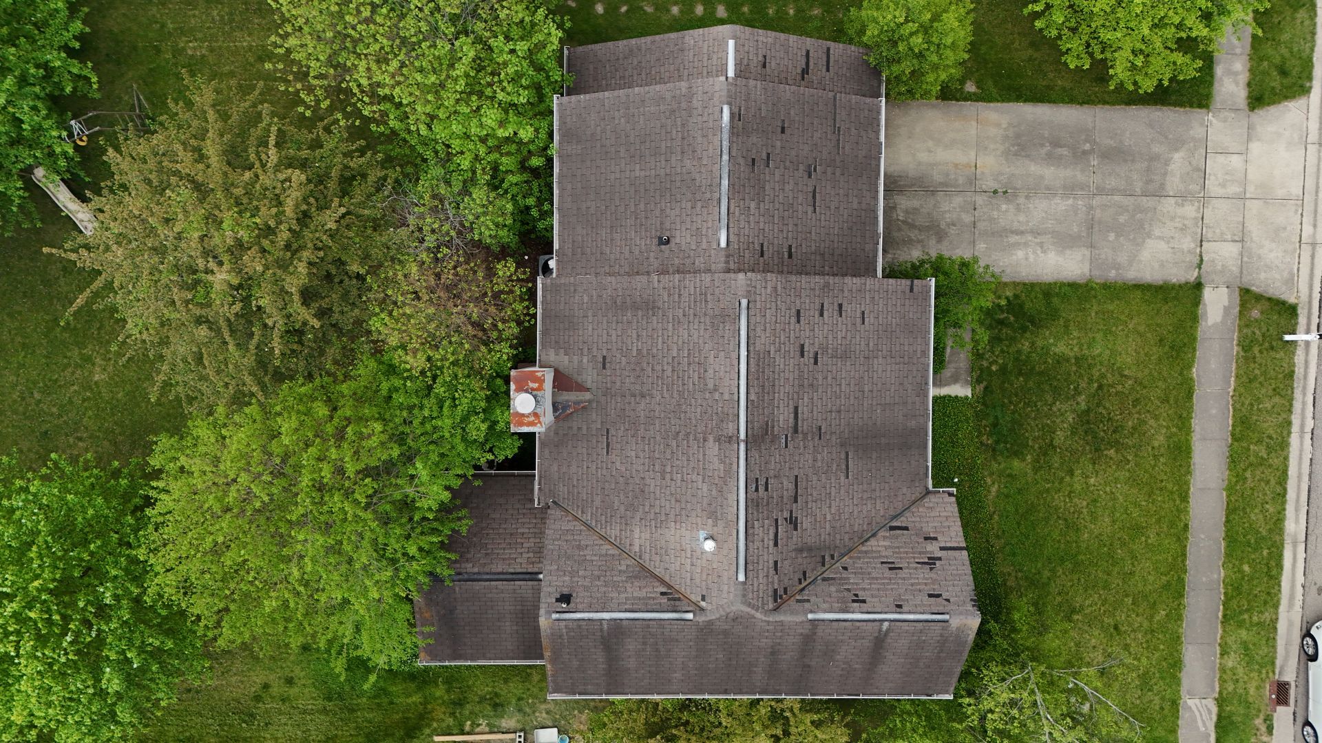
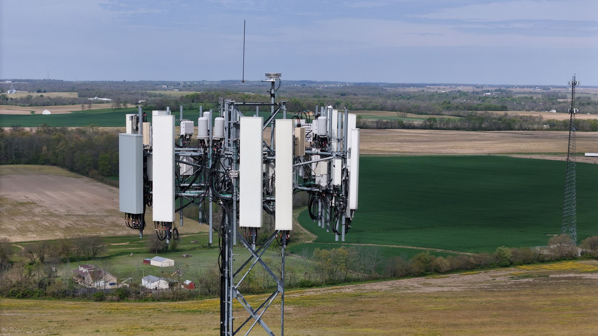
FAQ
What is included with a drone survey?
Drone surveys can include orthomosaic maps, 3D models, elevation models, point clouds, high-resolution aerial imagery, and other mapping deliverables based on your project requirements.
What types of projects use drone surveying?
Drone surveying is commonly used for construction, land development, engineering, mining, infrastructure, environmental projects, and commercial property documentation.
Is drone surveying more efficient than traditional methods?
Drone surveying allows large areas to be documented much faster than conventional field methods while collecting detailed aerial data with minimal disruption to active job sites.
Can drone surveys be performed on active construction sites?
Yes. Drone surveys are commonly completed on active construction projects to document progress, monitor site conditions, verify grading, and support project planning.
How quickly are deliverables provided?
Turnaround times vary by project size, but most drone survey deliverables are processed and delivered within a few business days.
Ready to Schedule a Professional Drone Survey?
If you're looking for reliable drone surveying services in Ohio, our team is ready to deliver accurate aerial mapping, detailed site data, and dependable results for your next project. Contact us today to discuss your surveying needs and request a quote.