
Fast, Accurate Drone Stockpile Volume Measurements.
Our stockpile measurement services in Ohio provide fast, accurate volume calculations for aggregates, construction materials, mining operations, landfills, recycling facilities, and bulk material storage yards. Using advanced drone mapping technology, we collect high-resolution aerial data that produces precise stockpile measurements without putting personnel on unstable surfaces. Whether you need one-time inventory verification or recurring material tracking, we deliver reliable data that helps improve inventory management, reduce waste, and make better operational decisions. Stockpile measurement services are available throughout Columbus, Dayton, Cincinnati, Toledo, Akron, Cleveland, and across Ohio.
Project & Use Case Examples




Accurate Stockpile Measurements Without the Guesswork
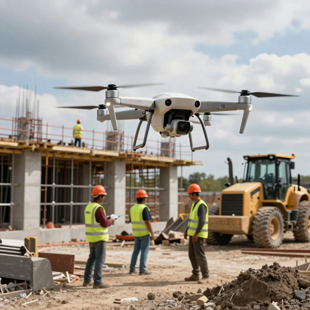
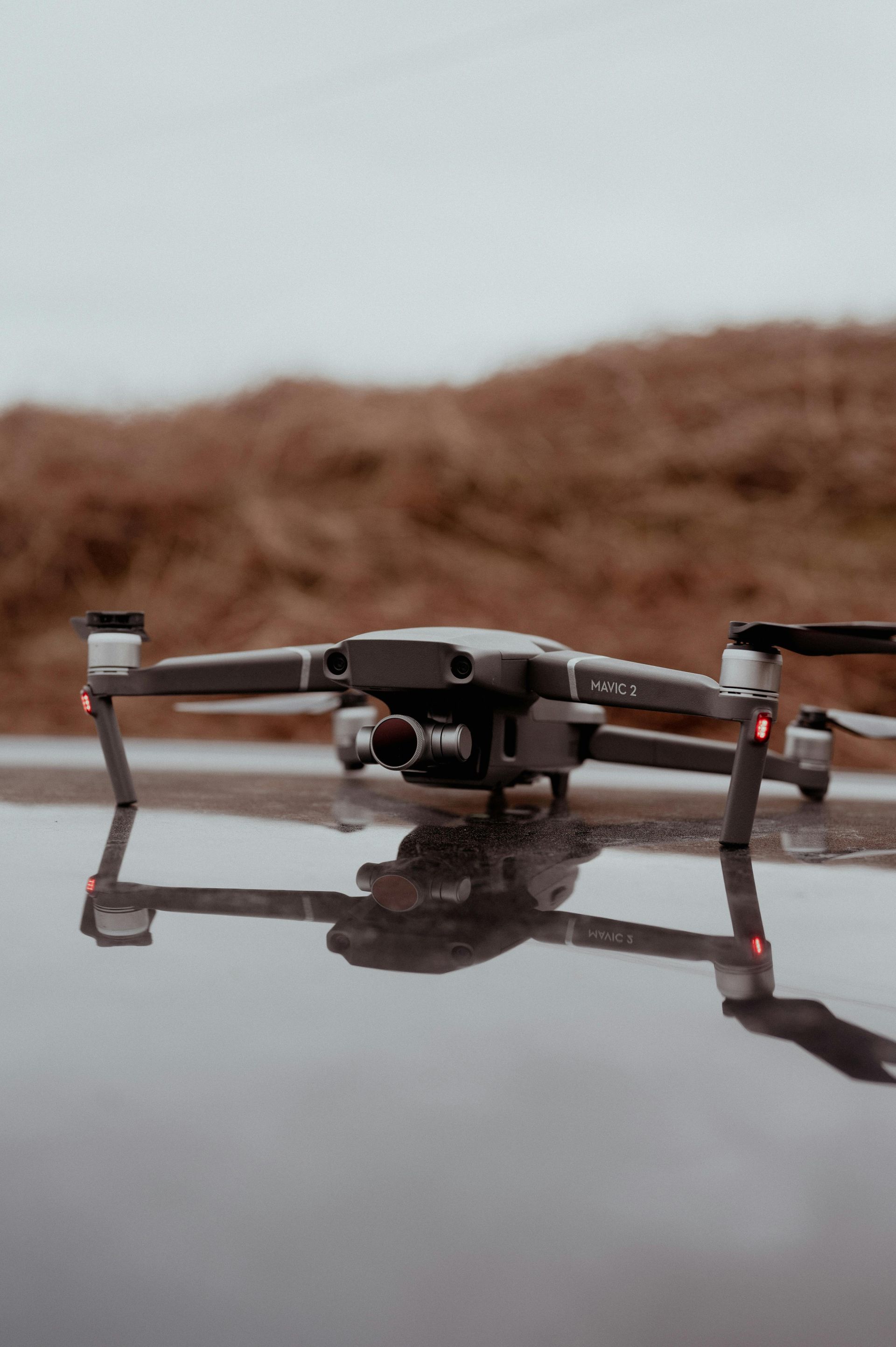
Traditional stockpile measurements can be time-consuming, inconsistent, and potentially hazardous. Drone-based stockpile surveys provide a safer and more efficient way to calculate material volumes using high-resolution aerial imagery and advanced photogrammetry. Our surveys deliver accurate volume calculations, 3D models, orthomosaic maps, and organized reporting that help contractors, quarries, recycling facilities, and industrial operations manage inventory with greater confidence. With repeatable flight paths and detailed deliverables, you can monitor material usage over time, improve operational efficiency, and make informed business decisions backed by reliable data.
Recent Projects
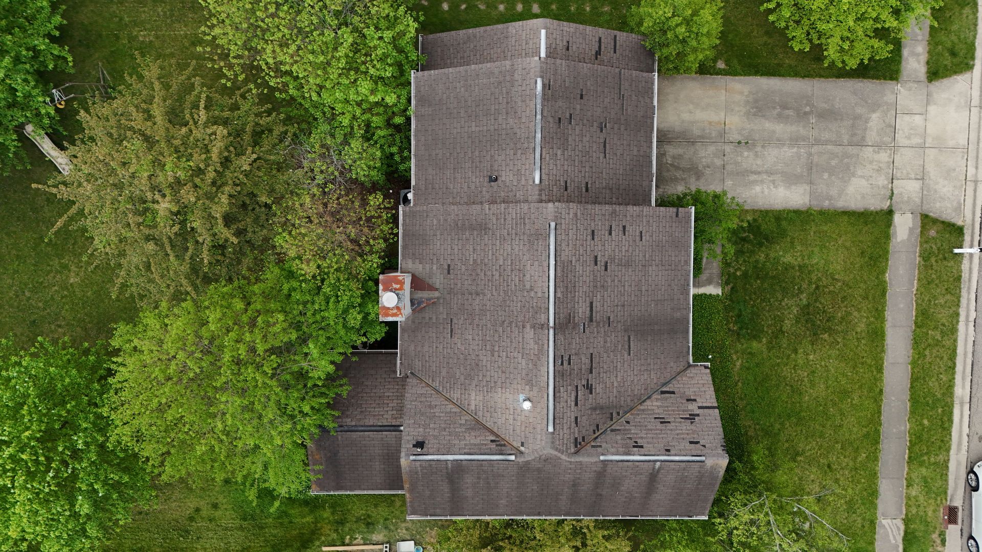
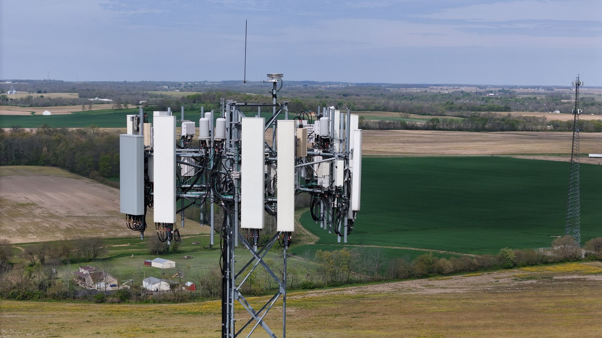
We've completed stockpile measurement projects across Ohio for construction companies, aggregate suppliers, recycling facilities, and industrial operations. Recent work includes volume calculations for aggregate yards, construction material inventories, landfill monitoring, and recurring stockpile surveys that help clients verify inventory, improve production planning, and reduce costly measurement errors through accurate aerial data collection.
FAQ
What materials can be measured using drone surveys?
Drone stockpile surveys can measure aggregates, sand, gravel, limestone, soil, asphalt, mulch, recycled materials, coal, salt, grain, and many other bulk materials.
How accurate are drone stockpile measurements?
Drone surveys provide highly accurate volume calculations using photogrammetry and ground control when required, making them significantly more consistent than manual measurement methods.
How long does a stockpile survey take?
Most drone stockpile surveys can be completed in a few hours depending on site size, with processed deliverables typically provided within a few business days.
What deliverables are included?
Deliverables may include stockpile volume calculations, orthomosaic maps, 3D models, point clouds, elevation models, high-resolution imagery, and organized reporting.
Can recurring stockpile surveys be scheduled?
Yes. Many clients schedule weekly, monthly, quarterly, or annual drone surveys to track inventory, monitor production, and maintain accurate material records.
Ready to Improve Your Inventory Accuracy?
If you're looking for professional stockpile measurement services in Ohio, our team is ready to provide accurate drone surveys, reliable volume calculations, and detailed reporting that helps you manage inventory with confidence. Contact us today to schedule your stockpile survey.