Drone Services for Commercial Developers in Cincinnati
You know the feeling.
Staring at blueprints and site plans, trying to picture the final product.
Juggling timelines, budgets, and the safety of your crew on a busy Cincinnati development site can be a lot.
It can feel like you need eyes everywhere at once.
The good news is, you can get them by using professional drone services for commercial developers in Cincinnati.
This is not about getting a few fancy aerial photos for a brochure.
This is about using powerful drone technology to make your job easier, safer, and more profitable.
Let's look at how this works on the ground.
Ready to view your construction project from new heights?
Contact 1st Choice Aerials today to schedule your aerial photography, inspection, or thermal imaging service!
On This Page:
What Are Commercial Drone Services, Really?
When you hear about a drone pilot, your mind might jump straight to high-flying cameras.
And yes, getting stunning visuals from an aerial drone is part of it.
But for a commercial developer, the real value is in the data.
Modern professional drones are packed with advanced sensors.
They use techniques like photogrammetry to stitch together thousands of high-resolution images.
This aerial imaging creates incredibly detailed and accurate 3D maps of your entire site.
This means you get more than just pictures; you get actionable intelligence.
You can use this data to plan better, build smarter, and keep your investors happy.
An unmanned aerial vehicle provides a perspective that is impossible to get from the ground.
Saving Time and Money on Cincinnati Development Projects
Your primary goals are to finish on time and under budget.
Delays and overages are project killers. This is an area where using an experienced drone team can make a huge difference.
Think about a traditional land survey, which can take a crew days or even weeks to cover a large site.
With a drone, that same survey can be completed in a few hours with far greater detail.
The right drone footage can save you countless hours.
This speed means you get critical data faster, so you can start planning and breaking ground sooner.
Fewer people on site for less time also means lower labor costs.
Getting the Full Picture: The Data Drones Deliver
The information you get from a drone survey goes way beyond a simple map.
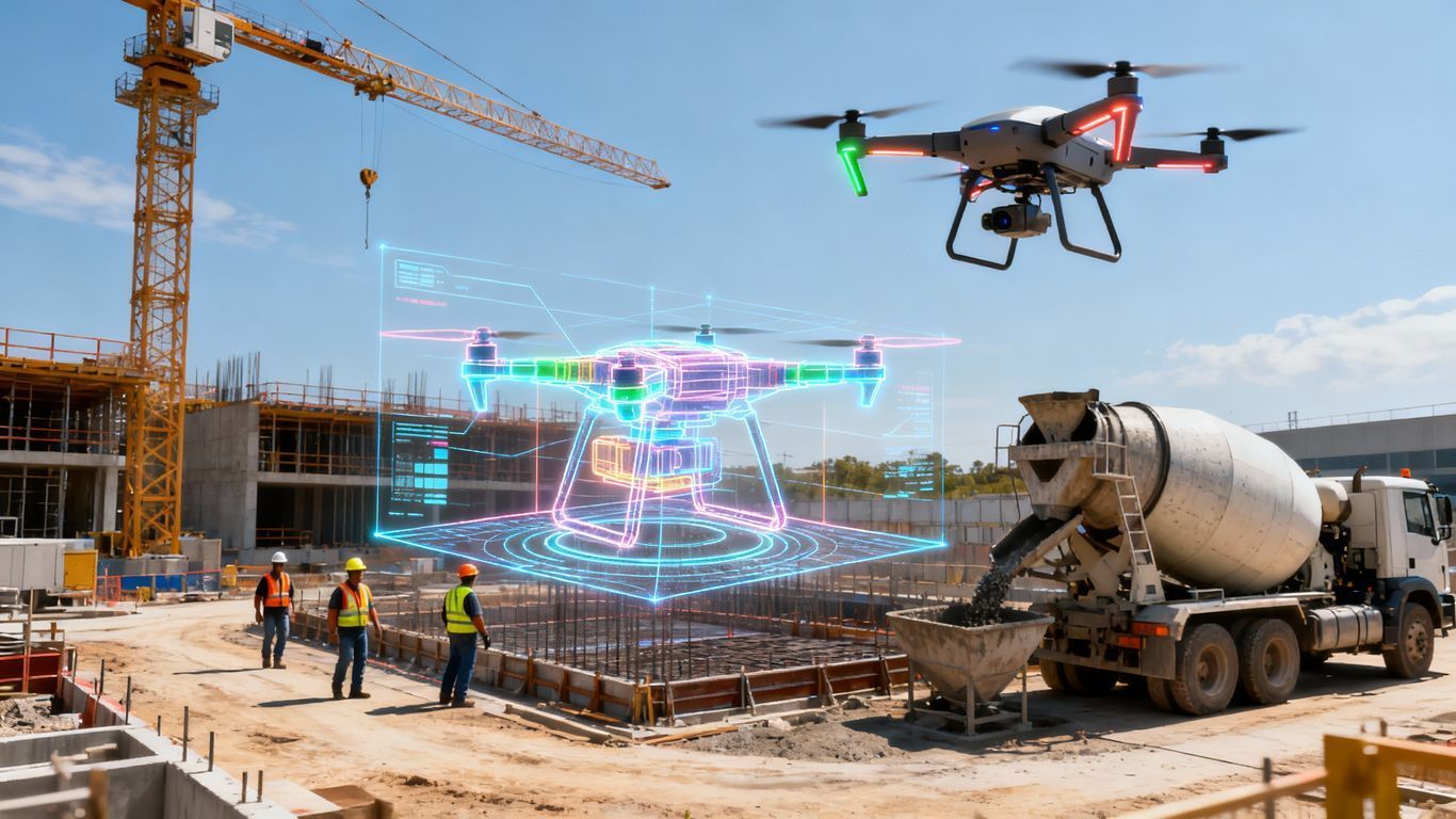
You get a rich, multi-layered digital twin of your construction site.
This data is invaluable for you and your team.
You can see orthomosaic maps, which are high-resolution, distortion-free aerial views.
These are perfect for overlaying with your design files to check for accuracy.
Are the foundations poured exactly where they should be?
Then you have 3D models and point clouds.
These let you see the site from any angle, measure distances, calculate volumes, and analyze slopes.
It is like being able to walk through the site on your computer.
This level of detail helps prevent expensive rework, as it is much cheaper to fix a discrepancy on a screen than to tear out concrete.
This clear communication tool also helps everyone from the architect to the subcontractors stay on the same page.
Providing high-quality drone video gives context that photos alone cannot.
Drone Services for Commercial Developers in Cincinnati: A Game Changer for Safety
Construction sites are full of potential hazards.
Using drone services for commercial developers in Cincinnati can help you manage these risks much more effectively.
Think about building inspections and roof inspections.
Instead of sending a worker up on scaffolding or a ladder to check a facade or rooftop HVAC units, a drone can do it from a safe distance.
This removes the risk of falls, which are one of the biggest dangers in construction.
Drones can also monitor the entire site for security.
You can get a clear view of the perimeter, check on valuable equipment, and identify any unauthorized activity.
This helps prevent theft and vandalism, saving you both money and preventing project delays.
Regular aerial overviews can also help you spot potential safety issues you might miss from the ground.
You might see a poorly organized laydown yard or unsafe access routes that need to be addressed.
It gives you a new perspective on site management, and a record of site conditions can be useful in the event of any incidents.
Types of Drone Services for Every Stage of Development

Drone services are not a one-size-fits-all solution.
They offer different benefits at each phase of your commercial development project.
Here is how you can utilize them from start to finish for both commercial and residential real estate projects.
Pre-Construction: Site Feasibility and Planning
Before you even move a single shovel of dirt, a drone can give you a massive head start.
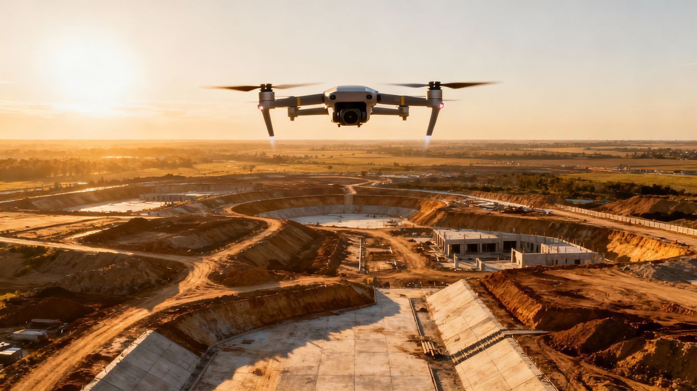
You can get highly accurate topographic maps of the existing land.
This information is critical for site design and grading plans.
An aerial drone can perform a thorough site analysis.
You can identify potential drainage issues, view existing vegetation, and assess how your new development will fit into the surrounding area.
This all happens before you commit major resources, helping you create more accurate bids.
This early data enables you to create more informed plans and even initiate marketing campaigns sooner.
Using drone photos, you can overlay digital renderings of the proposed building onto the actual site.
This helps potential buyers and tenants visualize the finished product long before construction begins.
During Construction: Progress Monitoring and Reporting
Once construction is underway, consistency is everything.
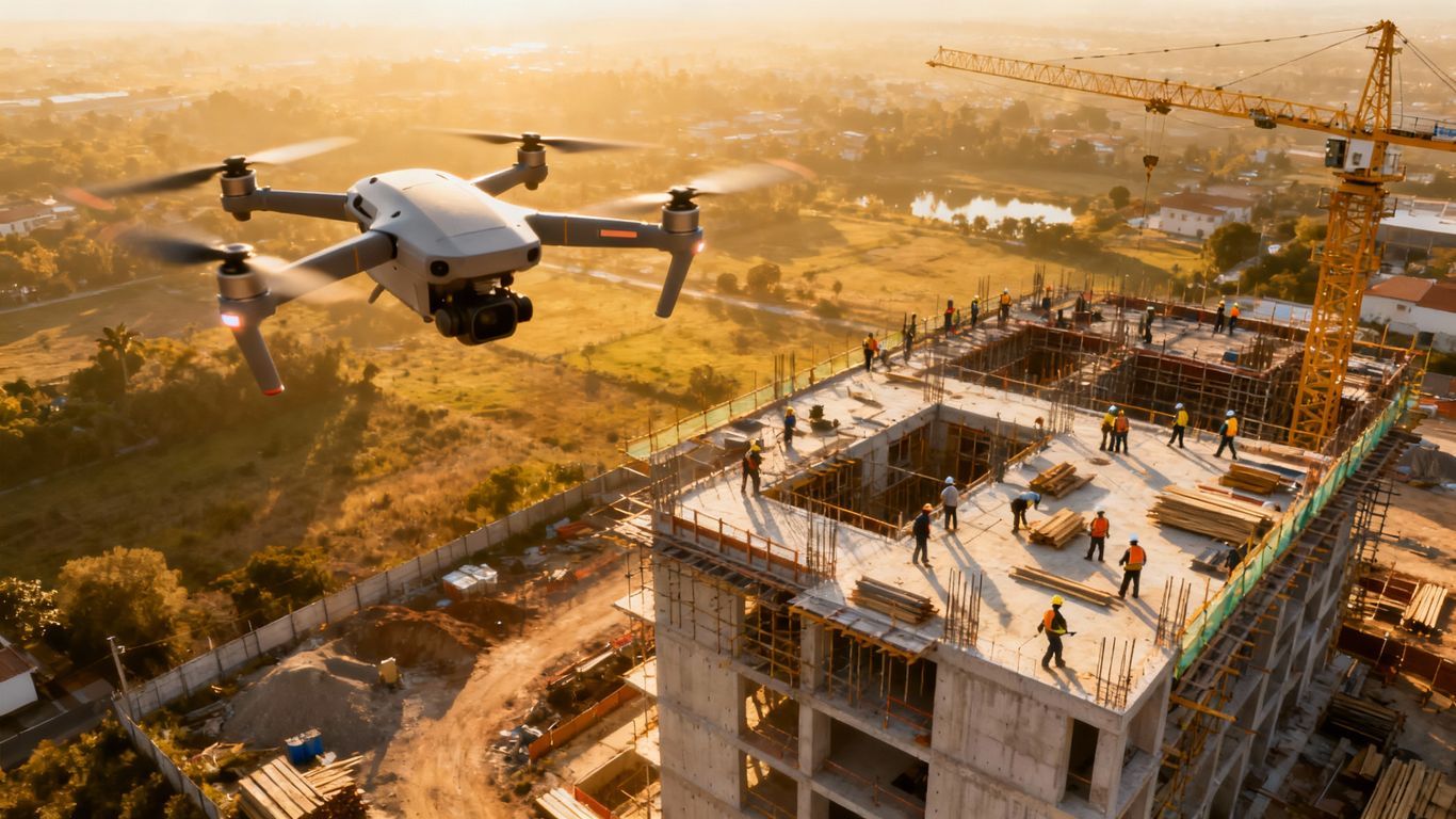
Drones enable regular flights to track progress.
An experienced drone pilot can fly the exact same path every week to get images and data that show a clear timeline of development.
This is incredibly powerful for reporting to stakeholders and investors.
Instead of just telling them you are on schedule, you can show them with compelling aerial videography.
These visual reports build confidence and keep everyone informed about the project's status.
You can also compare the as-built reality with your as-designed plans.
Are the utility lines being laid in the right places?
A quick drone inspection can verify this without disrupting work on the ground, preventing costly errors down the line.
Post-Construction: Inspections and Marketing
Even after the building is up, the drone's work is not done.
They are perfect for conducting final inspections of the roof, facade, and other hard-to-reach areas.
This helps you create a comprehensive punch list and make sure everything is perfect before handover.
And of course, there is marketing.
Nothing sells new office buildings or retail centers like stunning aerial video and photography.
Drones capture your finished project from compelling angles that showcase its best features and location.
These visuals, provided by professional photography and video services, are perfect for your website, social media, and presentations to potential tenants.
An FPV drone can even provide a dynamic fly-through tour of the property.
This gives a professional finish that shows the quality of your work for all estate listings.
Frequently Asked Questions

Here are a few common questions developers have about using aerial drone photography and video services.
- What kind of data will I receive? You can receive a wide range of data, including high-resolution drone photos, 4K video footage, orthomosaic maps, 3D point clouds, and detailed topographic surveys. These can be delivered in formats compatible with your existing design and project management software.
- How quickly can I get my drone footage and data? Turnaround times vary depending on the project's complexity. Simple photography and video services can often deliver visuals within 24 to 48 hours. More complex data processing for maps and models might take a few days.
- Are there restrictions on where you can fly in the Cincinnati service area? Yes, the airspace around Cincinnati and Northern Kentucky has controlled areas, especially near airports like CVG and Lunken. An experienced Cincinnati drone pilot will know how to navigate these regulations and obtain the necessary FAA authorizations to fly legally and safely on your site.
Conclusion
In a competitive market like Cincinnati, you need every advantage you can get.
Drones are not just a passing trend.
They are powerful tools that deliver real, measurable results for commercial developers.
They help you save money, stay on track, enhance safety, and gather better data for informed decision-making.
Ready to view your project from new heights?
Contact 1st Choice Aerials today to schedule your aerial photography, inspection, or thermal imaging service!


