UAV Services for Civil Engineering Firms in Frankfort, KY
You probably got into civil engineering to build things that last.
You solve complex problems every single day.
But what if the tools you use are holding you back?
Traditional surveying methods are slow, expensive, and sometimes even dangerous for your crew.
The great news is there's a better way to get the data you need.
Using UAV services for civil engineering firms in Frankfort, KY is changing how projects are planned and managed right here in our community.
You might be surprised by how much this technology can streamline your work.
You'll learn how these flying powerhouses are more than just gadgets; they are essential tools.
Ready to view your construction project from new heights?
Contact 1st Choice Aerials today to schedule your aerial photography, inspection, or thermal imaging service!
On This Page:
What Exactly Are UAV Services for Civil Engineering?
Let's clear something up right away.
These aren't the same drones you see at the local park.
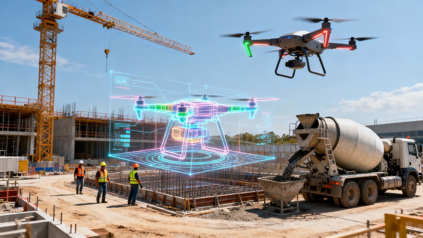
Professional Unmanned Aerial Vehicles (UAVs) are sophisticated data collection tools for professional engineers.
Think of them as flying survey stations, a modern evolution in surveying services.
They carry high-resolution cameras, LiDAR sensors, and other advanced gear.
The real magic isn't just the flight; it's the detailed aerial data they capture from above.
This service translates thousands of aerial images into actionable information for your projects.
This drone technology helps you get incredibly detailed maps and models that you can actually use for site development and more.
It's a strategic add-on to your existing toolkit.
Ditching Old Methods: How Drones Outperform Traditional Surveying
You know the old routine.
A survey crew spends days or weeks walking a site with poles and GPS equipment.
It's time-consuming work, and every hour spent on manual inspections costs money.
The traditional process has served us well, but it has its limits.
Bad weather can cause delays.
Rugged terrain can make areas impossible to reach safely, affecting everything from a boundary survey to environmental surveying.
They give you a massive upgrade in speed, accuracy, and safety.
You can cover more ground in less time while getting a much richer dataset for all your construction projects.
Speed and Efficiency on a Whole New Level
Imagine surveying a 100-acre site near the HMB Circle in Frankfort.
With a traditional team, you're looking at a week or more of work.
A UAV can fly that same area and collect the data in just a few hours.
This drastic reduction in field time means your projects can start sooner.
You can hit your deadlines more easily and move on to the next job.
This efficiency is one of the biggest reasons firms are making the switch, allowing them to provide quality solutions more rapidly.
Unmatched Data Accuracy and Detail
Speed is great, but not at the cost of accuracy.
Luckily, with professional UAVs, you get both.
These systems use technologies like RTK to achieve survey-grade precision.
Instead of a few hundred data points, a drone collects millions.
This dense data creates something called a point cloud, which contains precise measurements of the entire area.
This cloud is then used to build incredibly detailed 3D models and topographic maps.
You can see every contour, every elevation change, and every feature of your site.
This level of detail helps you spot potential problems early, long before they become expensive fixes.
Putting Worker Safety First

Your team's safety is always a top priority.
Some sites present hazardous conditions that are dangerous to survey on foot.
Think steep embankments along Kentucky highways, busy interchanges, or unstable stockpiles on a construction site.
A drone operator can stay in a safe location while the UAV does the risky work.
There's no need to send your people to navigate dangerous terrain or work near active traffic.
This approach is fundamental to improving highway safety and dramatically reduces the risk of accidents and injuries.
Real-World Applications for UAV services for civil engineering firms in Frankfort, KY
So, how can you actually use this technology on your Frankfort projects?
The applications are extensive and incredibly practical.
Let's look at some of the most common ways civil engineering firms are using a surveying drone today.
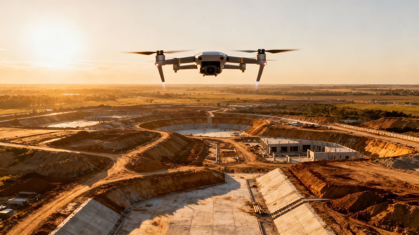
- Topographic and Aerial Mapping: Before you can design anything, you need a detailed map of the existing land. UAVs create high-resolution topographic and aerial mapping products quickly and accurately. These maps serve as the foundation for your entire design process, from site planning to drainage solutions for water resources management.
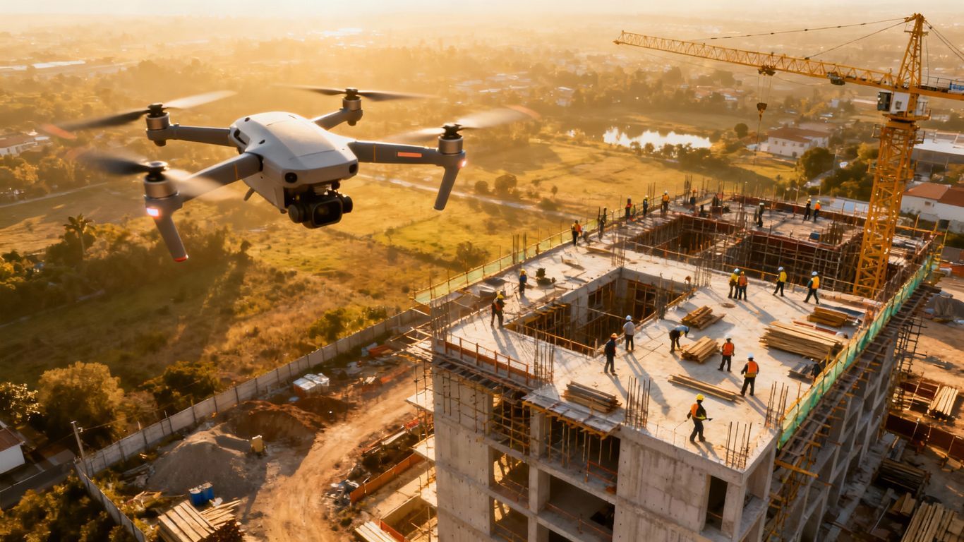
- Construction Inspection and Monitoring: Keeping a project on track is a major challenge. Drones give you a regular aerial view of your construction site for progress tracking. You can monitor progress, verify work is being done to spec, and even track material inventory without having to walk the entire site, which helps with compliance monitoring.
- Communication - The detailed imagery from these flights can be used to create compelling video tours for stakeholders. This helps everyone from the client to the project team stay informed and engaged.
- Infrastructure Inspection: How do you inspect a tall bridge or a sprawling water treatment plant? A drone can fly close to the structure, capturing high-quality images and video. This makes inspections faster, safer, and far more affordable for assets across the Bluegrass region.
- Earthwork and Volume Calculations: Calculating cut and fill volumes is a critical task. It's also an area where inaccuracies can cost a fortune. Drones can scan stockpiles or graded areas to calculate volumes with incredible precision, helping to manage project budgets effectively.
- As-Built Surveys: After construction is done, you need to document what was actually built. Drones can capture the final state of the project to create accurate as-built drawings. This data is valuable for records, payments, and future modifications, offering a fast way to get final sign-off.
- Environmental and Cultural Resources Surveys: Drones are perfect for ecological surveying. They can assess erosion, monitor vegetation, and support water resources projects without disturbing the site. They are also used to identify potential cultural resources or archaeological areas non-invasively, protecting sensitive locations.
What to Look for in a Frankfort UAV Service Provider
When you're choosing a partner for your civil engineering projects, you need to look for a true professional.
Here are a few things that are really important to check for.
FAA Part 107 Certification is Non-Negotiable
Anyone flying a drone for commercial purposes must have an FAA Part 107 certificate.
This is the law. It means the pilot has passed a test on airspace rules, safety procedures, and weather.
Working with an uncertified pilot puts your project and your firm at risk.
Always ask to see their certification.
Experience with Engineering Projects

You don't want a photographer; you want a data specialist who understands your industry.
Can they talk about concepts like ground control points, coordinate systems, and final deliverables?
A good provider knows what an engineer needs and how to deliver quality solutions.
They understand that you aren't just looking for photos but for data that will inform critical decisions.
Their experience with other engineering firms is a very good sign.
The Right Tools for the Job
The drone and sensors used have a direct impact on data quality.
A consumer drone from a big-box store isn't going to deliver survey-grade results.
You want a provider that invests in professional equipment.
Look for drones equipped with RTK or PPK GPS systems.
These technologies are what allow for centimeter-level accuracy without needing extensive ground control.
The right gear makes all the difference when you need to capture highly accurate data.
Ask about their sensors as well. Do they offer LiDAR for projects with heavy vegetation?
The more tools and support services they have, the better they can serve your specific project needs.
Commitment to Partnership and Community
The best providers act as partners, not just vendors.
They should be willing to discuss your project goals and help you determine the best approach.
They should also demonstrate a commitment to the local community.
Look for firms that invest in the future, perhaps through scholarship opportunities for aspiring engineers.
A provider that engages in community service shows a level of dedication that often translates into better customer service.
This commitment reflects a deeper understanding of the region they serve.
Conclusion
The tools of civil engineering are getting better all the time.
Drones are no longer a future trend; they are a practical and powerful solution available right now.
They help you get projects done faster, with better data, and with less risk to your people on the ground.
Adopting this technology gives your firm a serious advantage.
For your next project, think about how improved information could change your outcomes.
The smart use of UAV services for civil engineering firms in Frankfort, KY is the next step in building a more efficient and successful future.
Ready to view your project from new heights?
Contact 1st Choice Aerials today to schedule your aerial photography, inspection, or thermal imaging service!


