
Drone Asset Management for Construction Sites: A Guide
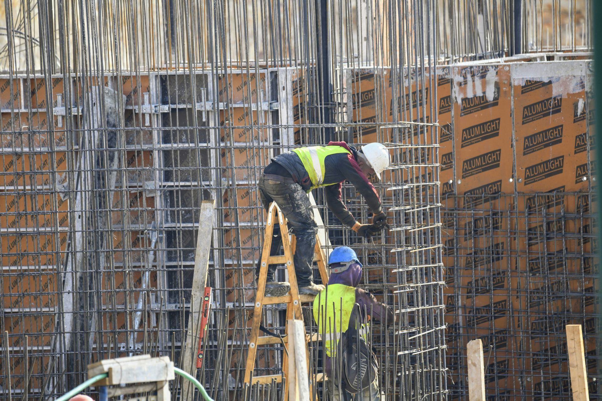
Picture yourself running a huge building job.
Equipment is everywhere.
Piles of materials are scattered across what feels like a dozen spots.
Imagine hunting for that one special machine or a stack of pavers.
It's like a wild goose chase, and every minute you spend looking costs you money and time.
You know that frustrating issue?
Smart drones are on the job, handling it fast.
Prepare to see the mechanics of its function.
You'll also find out why so many teams are adopting drone technology to make their workflow better.
Ready to view your construction project from new heights?
Contact 1st Choice Aerials today to schedule your aerial photography, inspection, or thermal imaging service!
On This Page:
What Exactly is Drone Asset Management?
Think of it as your eye in the sky, but with a perfect memory.
Drone asset management is a system that uses a construction drone equipped with sensors to automatically scan your job site.
They identify, count, and locate all of your tagged assets, from heavy equipment to structural components.
This is not just about taking pictures.
The drones work with tracking tags like RFID or QR codes that you place on your equipment and materials.
The management software then pieces all this data capture together to give you a live map of where everything is.
We've officially moved past the days of lugging around clipboards and scribbling checks on paper.
You get an accurate, digital inventory of your entire site in a fraction of the time, forming a holistic view of your assets.
Why Traditional Asset Tracking Fails on Modern Job Sites
The old ways of tracking assets just don't cut it anymore.
Construction sites are bigger and more fast-paced than before.
Trying to keep up manually is a recipe for delays and costly rework.
A clipboard and a pair of eyes can only do so much for site documentation.
Assets get moved without being logged, things get misplaced under tarps or behind other materials, and sometimes, they just walk off the site.
According to one report, construction site theft costs the construction industry up to $1 billion a year.
A common headache for builders is simple human error.
Someone might miscount a pallet or write down the wrong location for an item.
These small mistakes add up, leading to ordering supplies you already have or not having what you need, which halts site progress.
How Drones Change the Game for Construction Asset Management
Bringing drones into the picture fixes these problems in some very direct ways.
Gone are the days of slow, expensive, or inaccurate asset checks.
Drones now handle the entire process automatically, giving you speed, savings, and perfect accuracy.
Your team members can spend less time searching and more time building.
Get Accurate, Real-Time Data
The biggest benefit is getting information you can trust, right when you need it.
You can program a drone to fly the same path every morning before work starts.
Within some minutes, the system conducts a comprehensive site assessment.
It compiles exact data, which then revises and refines your complete inventory schematic.
You no longer have to wonder if you have enough rebar for the day's pour; simply check the software platform on your tablet or computer.
You'll make smarter choices because you see the real situation, and you can catch problems before they escalate.
Reduce Labor Costs and Human Error
Think about how long it takes for a team member to walk a 50-acre site to do a manual inventory.
It could take hours, even a full day.
A drone can do the same job in a small fraction of the time, a major advantage for any construction project.
It gives your people back their time, letting them crush their main goals.
No more fixing blunders because of bad data. Instead of counting things, they can be productive.
The U.S. Bureau of Labor Statistics shows that labor is one of the highest costs in any project, so any efficiency gain here directly impacts your bottom line.
Automation also removes most of the potential for human error.
The construction drone and software do not get tired or distracted.
They simply gather the information and report back, giving you solid, dependable numbers every single time.
This helps keep all your construction jobs running smoothly.
Boost Site Security and Prevent Theft
Knowing where your high-value assets are at all times is a powerful security tool.
If a piece of equipment moves when it should not, you can get an alert.
When the office closes, this system still watches. It's super useful then.
Drones can also be used for general site security, flying patrols to look for anything out of place.
Seeing a drone overhead often makes would-be thieves think twice before acting.
You can create a historical record of asset locations.
If something does go missing, you have data showing its last known position.
Having these facts at hand helps greatly with any investigations or insurance paperwork.
It stops you from wasting money on fixing things twice or taking big hits to your wallet.
Improve Project Planning and Progress Tracking
Drone asset management goes beyond just finding things; it gives you a clear view of your project's logistics.
You can see how quickly materials are being used and plan your deliveries more precisely.
Getting a clear picture of the work, piece by piece, proves incredibly important.
This keeps fewer items on hand at the job site.
That way, materials are less likely to get ruined or disappear.
It stops work crews from wasting time, stuck waiting for a shipment that should have been ordered earlier.
Your whole supply chain becomes more efficient across the entire project lifecycle.
See how far along your building is. Just compare asset records from various dates.
Sharp aerial pictures show you exactly how different parts of the property are changing.
Automated reports show everyone involved exactly where the project stands.
Implementing Drone Asset Management on Your Site
Putting this technology to work is more accessible than you might think.
Top construction firms already show their true worth.
Want a proven path for putting new ideas to work?
Here's one.
Best Practices for Getting Started
Before launching a site-wide program, consider a pilot project.
Choose a specific area or asset category to test the technology and refine your construction workflows.
You'll grasp what the system does, then train your main team of users.
Make sure you select a good vendor for all your computer and program needs.
Go with a firm whose history shows deep roots in construction projects.
Crucially, their client service center must be consistently available and highly effective.
Review their legal privacy documentation and cookie policy to understand how your data is handled.
You'll also fix what's tricky about each place.
You'll want to think about things like bad weather slowing down flights or other gear messing with your signal.
Developing clear operational guidelines and a privacy policy from the start will build trust and ensure smooth deployment.
A Step-by-Step Process for Site Operations
So, how would you actually use drone technology on your site?
The workflow is straightforwardand designed to be as automated as possible.
It generally follows five simple steps to monitor construction and manage assets.
- Tag Your Assets: The first step is to attach a tag to every piece of equipment and every pallet of materials you want to track. Each tag is registered in the software and assigned to its corresponding asset, from hand tools to heavy machinery.
- Plan the Drone Flights: In the software, you will map out the flight path for the construction drone. You simply draw a route over your site map, and the software creates an automated mission, accounting for known obstacles with AI-powered obstacle avoidance.
- Fly the Mission: You take the drone out to the launch point and press a button. The autonomous drone will take off, fly the pre-planned route to monitor site conditions, and land itself upon completion of the scan.
- Analyze the Data: The drone automatically uploads the data it collected. The program quickly crunches the numbers, then fills in your asset map and updates all your inventory records. This usually takes just a short amount of time.
- Make Decisions: With the fresh data at your fingertips, you and your team can make informed decisions. You can allocate resources, schedule deliveries, and verify that everything is where it should be for the day's work. Think of this data as a living, virtual mirror of your site.
This cycle can be repeated daily or weekly, depending on the needs of your project. It will simply become how your site operates.
Conclusion
Adopting technology on a construction site can sometimes feel like a challenge.
But some tools offer such a clear return that they become essential.
Better drone asset management for construction sites is one of those tools.
Tired of losing things, worrying about theft, or dealing with constant delays?
This smart tool puts an end to all that.
Stop guessing what's happening on your job site.
With a live feed of everything, you get total control, better protection, reduced rework, and projects that actually finish on schedule.
Construction drones do not just take photos; they deliver actionable intelligence.
Ready to view your project from new heights?
Contact 1st Choice Aerials today to schedule your aerial photography, inspection, or thermal imaging service!


