Boost Your Project with Pre-Construction Aerial Surveys
Mapping land from the sky before starting work has completely transformed how we plan new buildings and roads.
Imagine getting a full, detailed look at your future building site from above.
These advanced flyovers show project managers, developers, and property owners exactly what's there before any dirt gets moved.
The very first move in a project acts like its root.
It grounds everything, determining what grows from there.
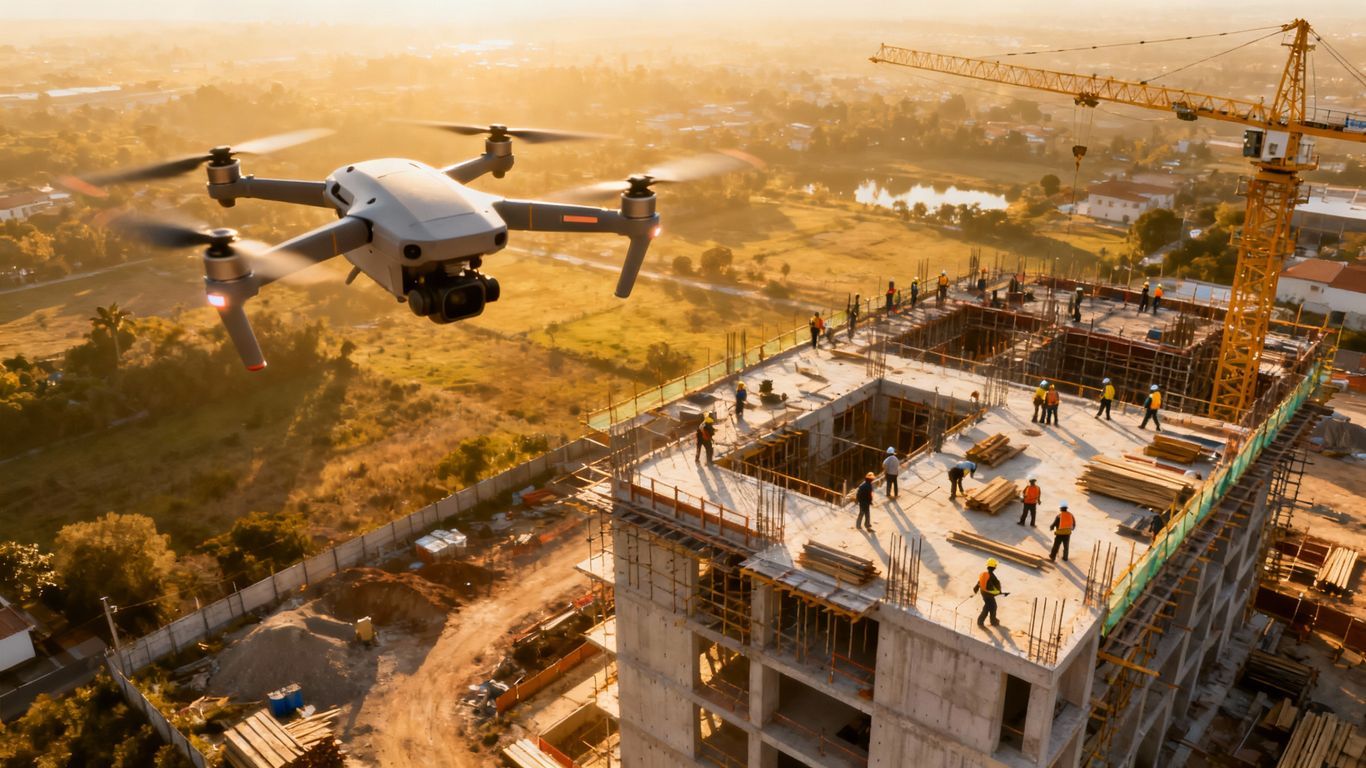
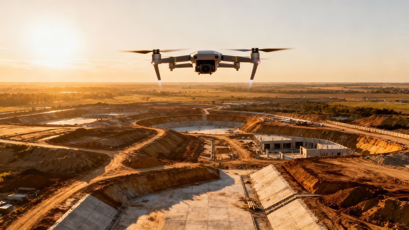
Before any building starts, surveyors send out drones to grab detailed pictures and important site facts.
With this data, your crew can build really clear roadmaps.
They'll also catch any trouble spots way ahead of time.
That means you save big on both hours and cash.
Before you can create anything more effective or efficient, you must first see the true power of aerial surveys.
Ready to view your construction project from new heights?
Contact 1st Choice Aerials today to schedule your aerial photography, inspection, or thermal imaging service!
On This Page:
These surveys: What makes them so useful?
So, why do these matter so much?
Here are the big reasons.
- Accurate Site Mapping: Want to plan your property layout right? Surveys gather the exact numbers you need.
- Early Problem Detection: Spot potential issues such as drainage challenges, unstable soil, or undocumented structures before they become expensive problems.
- When you plan well, you feel ready. Dig into all the information to get the best site plan, manage supplies well, and keep the whole build on schedule.
- Safety Improvements: Identify potential hazards in hard-to-reach areas and plan for a safer work environment for the entire crew.
- Cost Savings: Avoid expensive surprises and rework by planning with precise data from the start, which helps to secure project funding and stakeholder confidence.
How Do Pre-Construction Aerial Surveys Work?
Here is a look at the typical steps involved:
- Planning: The survey team defines the project scope, maps the flight path for the survey drone, and determines the specific data collection required based on project requirements. We also check the flying rules here, making sure we follow every one.
- Equipment Setup: A survey drone, such as a DJI Matrice or DJI Phantom, is prepared with the appropriate sensors. This could include high-resolution cameras for photogrammetry or advanced LiDAR payloads for generating precise 3D data points.
- Data Collection: The unmanned aerial vehicle flies autonomously over the survey site along the pre-programmed route. During the flight, it is capturing data, taking thousands of high-resolution photographs or collecting millions of laser points.
- Processing: The raw data is then transferred to powerful mapping software. It grabs all those pictures from the sky, joining them into one seamless map. Then, it crunches the data, building detailed 3D ground models and giving you other valuable results.
- Time to see the facts. After all the number crunching, surveyors and data analysts then give the finished reports a thorough once-over. They pull out the most essential facts, figure out exact measurements, and then write up clear reports. These reports give project managers and engineers the solid information they need to make big choices.
Once we finish this, you will get all the facts, giving you a complete overview of the construction site.
You'll need this data from the very first sketch to watch the whole building go up.
Teams then act without hesitation.
Types of Data Collected
Pre-construction surveys gather a diverse range of data types that form the backbone of project planning.
Consider this data a blueprint, laying out every single feature the site holds.
- Topographic Data: This offers a detailed layout of the land, including precise elevation information. To meet building codes for drainage, grading, and foundations, accurate land maps are a must.
- Orthomosaic Imagery: This involves stitching together hundreds or thousands of high-resolution photographs to create one large, geometrically corrected image of the entire site. Picture this: a map so clear, it gives you all the details you need.
- 3D Models: These are virtual, interactive representations of the site. With digital surface models (DSM) and digital terrain models (DTM), teams easily picture a location. They can then plan all ground changes and understand every line of sight.
- Volumetric Calculations: Aerial surveys provide accurate data for calculating stockpile volumes or the amount of earth that needs to be moved. Precise volumetric data mitigates financial outlays for earthmoving and raw commodities.
- Vegetation Analysis: Using multispectral cameras, surveys can assess the health and density of vegetation.
- Vibration Monitoring Data: Before pile driving or using other heavy construction equipment, a pre-construction survey can establish a baseline of nearby property conditions. It's your defense against neighbors unfairly blaming you for property issues, like a crack in their wall you didn't cause.
Tools and Technology Used
The technology behind pre-construction aerial surveys is sophisticated and constantly advancing.
Our physical equipment and smart programs join forces to gather and refine the information.
The precision and speed of current aerial mapping come from these very instruments.
Key tools include:
- Surveying Drones: Small unmanned aerial vehicles are the workhorses of aerial data collection. We pick different models for each job, depending on what they need to carry and how long they must fly.
- LiDAR: Light Detection and Ranging uses laser pulses to measure distances and create exact 3D surface models. LiDAR tools really shine when you need to map out areas with dense vegetation.
- GPS: Global Positioning Systems are integrated into the drones to ensure every photo and data point is tagged with a precise geographic location. Accurate maps absolutely depend on this step.
- Photogrammetry Software: This specialized mapping software is used to process the thousands of photos captured by a drone. You can turn your flat pictures into measurable 3D models and detailed, flat maps.
- GIS Systems: Geographic Information Systems are used to organize, analyze, and visualize the geographic data collected. See your site more clearly. This software puts all your data in one place.
- Advanced Cameras: You decide what a drone sees! Fit it with a super clear camera, a thermal one to spot heat, or a multispectral camera to gather specific details, depending on the information you need.
Real-World Applications

Pre-construction aerial surveys have a practical impact across numerous industries, moving beyond theoretical advantages.
Think about it: their facts help us work faster and dream up new possibilities.
Observe how these methods manifest practically.
Construction
In construction, these surveys are foundational.
You get to plan out every detail of a job site, measure all the earth you'll move, and keep equipment moving efficiently.
When building big highways, aerial photos show us the most innovative paths.
This protects the land and keeps costly delays away.
Progress Monitoring
Understanding a property's viability demands initial site assessments; these crucial pre-construction findings then shape persuasive arguments presented to financial backers.
Catching problems early saves money.
For example, spotting inadequate drainage right away keeps a developer from making a costly mistake.
Knowing this helps us plan neighborhoods and lay out roads or water pipes smartly.
Making Sense of Our Natural World
High-flying aerial surveys give scientists and environmental consultants a wide view.
They can then watch ecosystems, follow erosion, and understand how various factors affect the environment.
Knowing the plants and the land's shape drives our conservation planning.
Survey details, once gathered, drive our regulatory submissions and sustained ecological stewardship.
Solar Energy
The solar panel industry uses drone services extensively.
Aerial surveys can quickly assess a roof's condition, measure its exact dimensions, and identify obstructions.
This information helps us create a solar panel setup that maximizes electricity production for property owners.
Challenges and Limitations
While pre-construction aerial surveys are powerful, they do have some challenges and limitations.
You'll have a much clearer picture of what's ahead if you understand these limitations.
- Weather Dependence: Survey quality can be impacted by adverse weather. High winds, rain, or even heavy cloud cover can delay flights or affect the quality of the aerial imagery captured.
- Regulatory Issues: Flying unmanned aerial vehicles is subject to government regulations. Before flying a drone in many places, you'll need permits. Plus, a licensed operator must be in charge.
- Data Overload: A survey can generate a massive volume of data. Big computers and specialized software are a must for this data. Trained experts are also needed to manage and understand it.
- Initial Cost: For smaller projects, the upfront cost of professional drone services might seem high. However, this investment often pays for itself by preventing expensive errors and rework later on.
Despite these challenges, the strategic advantages and return on investment usually make aerial surveys a wise choice.
A seasoned professional makes all the difference.
They possess the foresight to handle unforeseen challenges.
They'll collect all the details. Then, they'll double-check everything to ensure it's accurate and usable.
Looking Ahead: Airborne Site Scans.
The future for pre-construction aerial surveys is incredibly promising.
You're seeing technology advance, which means the tools we use are getting way better and easier to use.
Expect some big changes to pop up soon.
Expect AI to handle a lot more data.
It will automatically and rapidly analyze how different parts of a website work and fit together.
Sensor tech is getting a serious upgrade. We'll soon have tiny, super-accurate LiDAR units and much clearer cameras as standard.
This will let us collect information that's far more precise and detailed.
Integration with other digital construction tools, like Building Information Modeling (BIM), will become seamless.
This will allow for a fully integrated digital workflow from initial survey to final construction.
Imagine this: as technology gets cheaper, you'll see these important services pop up in so many more kinds of work.
Ready to view your project from new heights?
Contact 1st Choice Aerials today to schedule your aerial photography, inspection, or thermal imaging service!


