Drone-Based Topographical Surveys for Construction
Builders now create far better site plans because drone surveys provide such precise, up-to-date mapping.
The recently implemented operational framework fundamentally alters the methodology by which construction personnel delineate and appraise prospective development locales.
Forget slow, expensive surveys. Today, this work is quick, safe, and spot-on accurate.
Project managers who grasp drone surveys gain a serious leg up on the competition.
Ready to view your construction project from new heights?
Contact 1st Choice Aerials today to schedule your aerial photography, inspection, or thermal imaging service!
On This Page:
What Are Drone-Based Topographical Surveys for Construction?
This map truly shows you a piece of land in full detail.
It highlights all natural elements, like rivers and forests, and everything built by people, such as roads, indicating their exact heights.
Imagine needing to know every bump and dip on a piece of property.
That's what surveyors do; they carefully chart the land's entire surface, giving us a true 3D map.
Architects, engineers, and project managers will definitely find these facts helpful.
This lets them accurately lay out water drainage, building bases, and road paths.
The quality of this initial land survey can impact the entire project lifecycle.
Now, add a drone to the process.
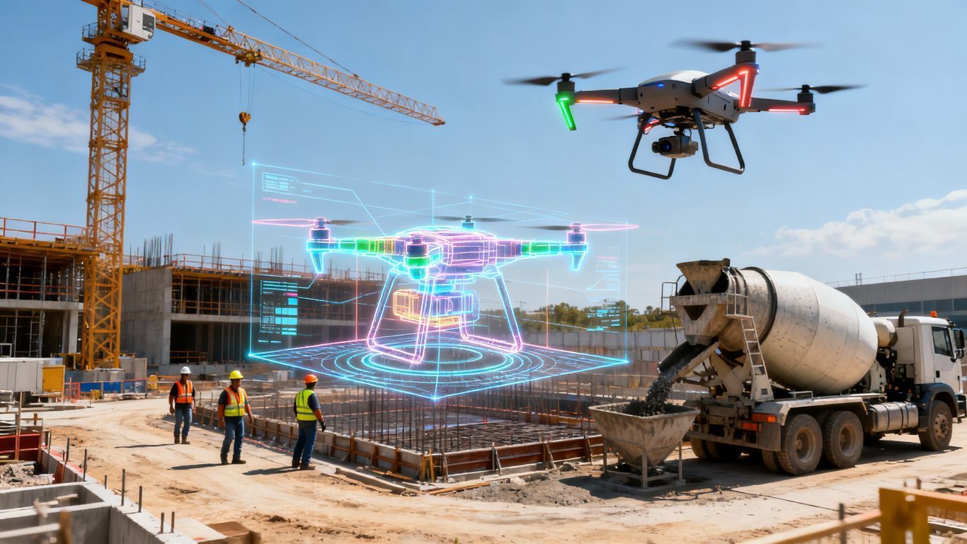
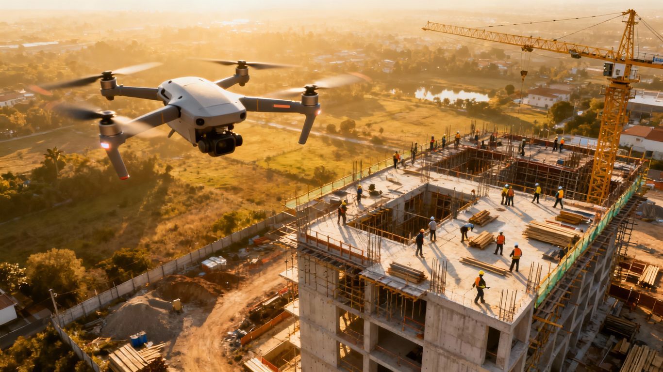
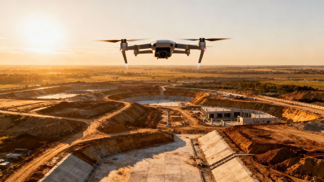
A drone, or Unmanned Aerial Vehicle (UAV), flies over the site, capturing high-resolution images or laser data from above.
The drone flies automatically on a pre-planned path. This makes gathering information both quick and easy to repeat.
You get tons of information, way more than before, and it comes in super fast compared to old-school surveys.
Instead of getting a few hundred survey points, you get millions.
All this great information lets you build super detailed computer models of your site.
The Old Way Was Broken
Traditional land surveying methods have served the industry for a long time, but they have serious drawbacks.
Folks doing this kind of work usually grab a total station or a GPS rover.
A surveyor must walk every inch of the property for this.
They take measurements point by point, which is painfully slow, especially on large sites or difficult terrain.
Mapping out the entire site thoroughly might delay our project for weeks.
There is also a safety concern with traditional land methods.
Surveyors often have to work near active construction equipment or on unstable ground, exposing them to unnecessary risks.
The entire process is also expensive because it is so labor-intensive, requiring a full ground crew for an extended period.
Drones Offer a Better Path Forward
Drone surveying changes this entire picture.
A single drone flight can capture data that would take a ground crew a week to collect.
It is not a small improvement; it is a complete transformation of the workflow.
Because the process is automated, the risk of human error is much lower.
We collect data the same way across the whole site.
Since drones can fly almost anywhere, you can gather data from hazardous areas without putting a single person in danger.
This shift allows construction teams to stay informed with near real-time site data, moving projects forward faster and with greater confidence.
How Does Drone-Based Topographic Mapping Work?
So, how do those drone flights actually turn into a detailed, interactive 3D model right there on your screen?
It happens in three main stages.
You must get every step right to gather the precise information your project needs.
Planning Phase

You can't just toss a drone skyward and wish for good luck.
Good data starts with a good plan.
Before takeoff, the drone pilot uses special mapping software to mark the construction site and establish the geographic boundaries for the survey.
This includes charting the precise flight trajectory, specifying the operational altitude, and calibrating the photographic overlap.
More overlap between images captured from multiple angles generally means higher accuracy in the final model.
For projects needing high precision, surveyors place Ground Control Points (GCPs).
These are marked targets on the ground with known GPS coordinates.
Using ground control anchors the drone data to real-world coordinates, making the final map much more accurate and reliable for engineering purposes.
Drone Data Collection
After we finalize the flight path, the drone lifts off.
An enterprise drone like a DJI Matrice model will fly the mission automatically, capturing data as it goes.
There are two primary technologies used for this: Photogrammetry and LiDAR.
Photogrammetry is the more common method for many drone surveys.
The drone's advanced camera system systematically captures hundreds, sometimes thousands, of images that extensively overlap across the entire project location.
Sophisticated programs then synthesize the imagery, generating a complete three-dimensional structure and precise spatial coordinates.
LiDAR, short for Light Detection and Ranging, operates with its own distinct method.
A LiDAR sensor on the drone sends out pulses of laser light, measuring how long it takes for the light to bounce back, and creates a highly detailed point cloud of the site's surface.
LiDAR is especially effective at penetrating vegetation to map the ground beneath.
Data Processing and Analytics
Getting the drone's information is just the warm-up.
The data is processed to give a wide range of usable outputs.
An Orthomosaic Map is a high-resolution, distortion-free aerial image of the site.
It is like a private Google Map for your project, but with much higher detail and captured on a specific date.
Zoom in close on this drone map.
You'll spot every little thing across the whole construction site.
Digital Surface Models (DSM) and Digital Terrain Models (DTM) offer 3D views of land heights.
A DSM includes buildings and vegetation, while a DTM shows only the bare earth.
You'll use these models constantly to figure out all the dirt you need to move and how to lay out the property's slopes.
The Big Wins for Your Construction Project
The real question is what this all means for your bottom line.
Slash Costs and Time

Forget waiting a whole week for survey results.
You'll often see those answers arrive in just 24 to 48 hours.
Your team will charge forward with this pace.
Wasting time on a project costs real money.
Drone land surveys stop those expensive delays dead in their tracks.
Boost Job Site Safety
Construction sites can be dangerous places.
But thanks to drones, you no longer need surveyors climbing over stockpiles or walking near heavy machinery.
The drone operator can stay in a safe location while the drone does the hard work.
Imagine how much safer your team becomes when risks drop significantly.
This kind of protection has even saved people in emergencies, giving quick insights into dangerous situations.
Get Richer, More Actionable Data
A traditional surveyor might collect a few hundred data points over a day.
Just imagine: Just one drone trip can pull in a massive amount of information, often millions of different data points.
You'll get a really full and transparent look at your site this way.
With all this detailed information, we can figure things out precisely.
You'll always get precise counts for your material mounds.
This lets you confirm your progress matches the original blueprints and see exactly how well the soil is compacted.
You can always check the finished construction against the first blueprints to catch problems quickly.
Keep Everyone in the Loop
The visual data produced by drones is easy for anyone to understand.
Anyone can glance at an orthomosaic map or a 3D model and instantly grasp the situation.
You'll always have a simple, current picture of how the project is coming together.
When you're open about things, people believe in you, and the whole group stays truly connected to our goals.
What to Look For in a Drone Survey Partner

Not all drone service providers are the same.
Want data you can absolutely trust for your project?
Then collaborating with professionals is the smart move.
What characteristics in a collaborator best facilitate an organization's full operational capacity?
Make sure any company you work with is fully licensed and insured.
Anyone flying drones for profit in America needs an official FAA certification.
This credential comes from following their Part 107 guidelines.
Ask about their experience specifically in construction surveying and look at case studies.
Check their user stories and white papers to understand their expertise and what they deliver.
A company that specializes in real estate photography might not have the skills needed for accurate topographic mapping, which requires a different level of precision.
Examine their chosen equipment, the specific mapping applications, and their systematic data processing method.
High-grade drones give you seriously better data.
A good provider will clearly show you how they confirm their drone maps are spot-on, using ground control points and other checks.
A good partner will also have a clear privacy policy to protect your project's sensitive information.
Conclusion
The days of waiting weeks for survey data are over.
Think about it: drones have completely flipped the script on how we map and manage construction sites.
It uncovers details that old ways missed completely, all while working at a much quicker pace and keeping everyone secure.
Flying drones for construction site surveys brings you far more than just clearer blueprints.
Imagine having something that guards your money, fends off issues, and keeps your entire project running like clockwork.
Ready to view your project from new heights?
Contact 1st Choice Aerials today to schedule your aerial photography, inspection, or thermal imaging service!


