
Construction Drone Photography: Your Blueprint for Better Builds
Have you seen those small flying machines buzzing around construction sites lately?
That's often construction drone photography in action.
Construction and infrastructure projects are managed differently now, from beginning to end.
Drones offer builders, project managers, and even pilots a whole new perspective.
Drone technology does a lot more than just take pretty aerial photos.
Imagine the possibilities: drones in construction.
Let's discover the value of construction drone photography in this exciting field.
The advantages are clear.
Ready to view your construction project from new heights?
Contact 1st Choice Aerials today to schedule your aerial photography, inspection, or thermal imaging service!
On This Page:
What is Construction Drone Photography?
It sounds straightforward, right?
It's taking pictures and videos of a construction project using an unmanned aerial vehicle (UAV), or drone.
But the application of drone construction techniques goes much deeper than that simple definition.
Advanced sensors and high-resolution cameras are fitted to the drones we use for this.
These aircraft record comprehensive aerial data. The data collection happens continuously throughout the project's life.
Construction companies find this data incredibly useful.
Construction Sites are Buzzing With Drones
You might wonder why drones have become so popular in construction recently.
The reasons behind the change in construction site monitoring are pretty clear.
The benefits are making traditional methods look slow and sometimes less safe.
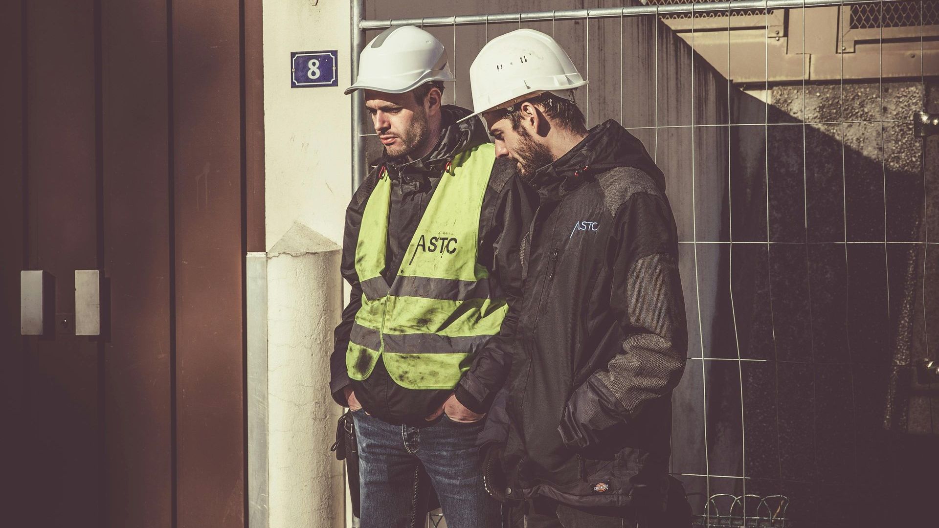
Keeping Workers Safer
Construction sites present inherent dangers.
The risks are real when you're up high, inspecting things like scaffolding, bridges, and roofs.
Sending personnel into these situations always carries potential risks.
Drones can fly into hard-to-reach or hazardous areas instead, performing crucial site inspections without putting workers in harm's way.
Workers are safer now.
Dangerous climbs and unstable areas are avoided since fewer people need to enter them.
Let's make inspections safer. Traditional methods are risky.
Boosting Speed and Efficiency
Think about how long it takes to walk a massive site for an inspection.
Or consider the time needed for a traditional land survey crew to complete their work.
These tasks can take days or even weeks, delaying subsequent phases.
A drone can cover the same area in a fraction of the time.
Aerial photos and data are collected much faster using this method than with ground crews, allowing for quick image documentation.
Because of this speed, we're able to give you faster updates and catch any issues before they become major headaches.
Imagine the time and money saved!
Getting Better Data for Better Decisions

Drones do much more than get simple photo documentation. They are powerful data collection tools.
They collect geographic data to build super-precise 2D maps and highly detailed 3D models.
This gives project managers an incredibly detailed, measurable view of the construction site.
Efficient project planning and site logistics are simple with the help of these high-resolution aerial images.
They provide a clear, bird's-eye view, which is incredibly useful in the early stages of a project, saving time and resources.
Improving Communication and Keeping Everyone Updated
Visual information is exceptionally powerful for conveying complex information quickly.
Stakeholders get easy-to-understand updates thanks to drone photos, videos, and site maps.
Clients, investors, our remote workers, and collaborators are all part of the team.
Seeing the actual construction progress visually helps everyone stay aligned on project status and upcoming milestones.
Reports are much easier to understand, and there's a lot less confusion.
Virtual site tours using drone videography can keep remote stakeholders fully informed and engaged, regardless of their location.
What Kinds of Drones Work Best for Construction?
Not just any hobby drone will withstand the rigors of professional construction work.
These demanding assignments call for unmanned aerial vehicles with robust reliability and impressive capabilities - anything less just won't cut it.
Effective drones need specific features.
Multi-rotor drones, especially quadcopters and hexacopters, are very common choices for construction site monitoring.
Imagine a drone that stays steady and can stop in midair.
That's what these do—they're ideal for getting up close and capturing images from any angle.
They move around easily in complicated building sites and busy work zones.
Essential Drone Features
Look for drones equipped with high-resolution cameras - sensors capturing 20 megapixels or more are common for professional work, delivering crisp, high-resolution images.
GPS and GLONASS (or other satellite system) stability is critical for accurate positioning needed for drone mapping and repeatable flight paths.
Good battery life, ideally 30 minutes or longer per flight, translates to more efficient data collection and less downtime.
Here's a quick comparison of common drone types for construction:
| Drone Type | Primary Use Case | Advantages | Disadvantages |
|---|---|---|---|
| Multi-Rotor (e.g., Quadcopter) | Inspections, Detailed Mapping, Progress Monitoring, Site Monitoring | Hover capability, High maneuverability, Easy to operate, Vertical takeoff/landing (VTOL) | Shorter flight times, Slower coverage for large areas |
| Fixed-Wing | Large Area Mapping (e.g., highways, large developments) | Longer flight times, Faster large-area coverage | Cannot hover, Needs runway/catapult for launch/landing, Less maneuverable |
| VTOL Hybrid (Fixed-Wing/Multi-Rotor) | Large Area Mapping with flexible operation | Combines VTOL convenience with fixed-wing endurance | More complex design, generally higher cost |
Key Ways Construction Drone Photography is Used
We've touched on some benefits, but let's break down the specific tasks where construction drone photography and the resulting aerial data really shine.
Construction projects use drones in many practical ways.
The apps show this clearly.
Solutions are available through drone services for many sectors.
Think of delivery, search and rescue, or even filmmaking.
Site Surveys and Accurate Mapping
Before any ground is broken, drones can perform detailed topographic surveys much faster than traditional methods.
We get precise maps. They show the land's shape, what's on it, and how things are right now.
Good site planning, design changes, and smart engineering choices all start with this basic information.
Tracking Progress Like Never Before
Regular drone flights create a detailed visual timeline of the construction project's evolution.
Weekly or bi-weekly flights capture high-resolution aerial images used to generate updated maps and 3D models.
These outputs clearly show exactly what has been built, where materials are located, and the overall state of the construction site.
Project managers can easily compare this visual construction progress against the project schedule and plans using specialized management software.
They can quickly spot areas that might be falling behind schedule or deviating from the design.
Tracking construction progress gives teams real-time data.
This helps them make better decisions and manage the project more effectively.
Safer and More Thorough Inspections
Inspecting tall buildings, bridges, facades, roofing, or complex structural elements used to involve potentially hazardous methods like lifts, scaffolding, or rope access techniques.
Drones equipped with high-zoom cameras can capture detailed close-up images of structural components safely from a distance.
Site inspections are now faster, cheaper, and safer for everyone involved.
Managing Site Assets and Materials
Large construction sites often have valuable materials, equipment, and temporary structures spread across vast areas.
Drones can quickly fly over the entire site to locate specific assets or get a general overview of material distribution.
They can even help track inventory levels visually, comparing stockpiles against delivery records or calculating volumes using photogrammetry.
Planning site logistics is a breeze with an aerial perspective; efficiency increases dramatically.
Managers gain a better understanding of where everything is located in near real-time.
Deliveries are coordinated better, equipment moves more smoothly, and searching for things takes less time thanks to this information.
Site Safety and Compliance
Monitoring site safety and regulatory compliance is easier with drones.
Their aerial view helps spot potential problems quickly, making sure everyone stays safe and follows the rules.
From the air, managers can check if workers in different areas are wearing appropriate Personal Protective Equipment (PPE).
Unsafe storage, blocked walkways, and a lack of fall protection—these are all hazards they can easily spot.
Creating Compelling Marketing Materials
High-quality aerial photos and captivating drone video footage look impressive and showcase projects effectively.
Developers, contractors, and commercial real estate professionals use drone-captured media to market their projects persuasively.
This helps attract investors, secure financing, pre-lease commercial real estate space, or sell residential real estate properties faster.
Time to Use Drones at Your Worksite?
Before you start using drone construction progress photography, consider these key points.
You can't just buy a drone and expect to fly; there's a learning curve.
You'll need a solid plan, follow the rules, and use the correct technology.
Know the Rules: Regulations and Licensing
In the United States, commercial drone operations are primarily governed by the Federal Aviation Administration's (FAA) Part 107 rules.
Anyone flying a drone for business purposes, including construction site monitoring or real estate photography, must obtain a Remote Pilot Certificate from the FAA.
Aeronautical knowledge is tested. You'll be quizzed on airspace, regulations, and safe flight procedures.
Choosing the Right Gear: Drones and Software
Select an unmanned aerial vehicle that meets the specific demands of your construction projects and desired outcomes.
Consider camera resolution (for high-resolution images), sensor types (RGB, thermal, multispectral), flight time, payload capacity, and overall durability.
Think carefully about the kind of aerial imagery data you need to collect – simple progress photos, precise mapping data, or thermal inspection imagery?
Setting Up Your Workflow
Carefully consider how drone data capture and analysis will integrate into your existing project management processes and communication channels.
Determine the optimal frequency for flights based on project phase and reporting needs (e.g., weekly progress photography, monthly mapping).
Assign roles: one person flies the drone, another processes the data, and a final person analyzes what it all means.
Training Your Team

Flying a drone safely and effectively, especially in complex environments like active construction sites, requires specific training and skills.
Processing drone data accurately to generate reliable maps and models also demands specialized knowledge.
Train your drone pilots and data analysts well.
They need solid instruction.
A pilot's training covers many areas: FAA regulations, airspace procedures, handling different flight conditions, emergency responses, and specific safety measures for each location.
Data specialists require training on the chosen photogrammetry software, data processing techniques, quality assessment, and potentially specific analysis methods (e.g., volume calculations, change detection).
High-quality, actionable data and operational safety are both improved by this training.
Expect better results.
Potential Hurdles to Keep in Mind
While construction drone photography offers numerous advantages, there are some potential challenges and limitations to consider.
Consider this: Knowing the challenges ahead lets you plan how to handle them.
Then, you can set realistic expectations for success.
Let's look at a few common ones:
Drone flights are heavily affected by the weather.
Drones generally cannot fly safely or collect usable data in heavy rain, strong winds (check manufacturer limits), fog, snow, or extremely cold temperatures.
This dependency can sometimes cause unavoidable delays in scheduled data collection for site monitoring or progress photography.
Construction Drones: What's next?
The construction industry's use of drones is growing rapidly; we'll see far more advanced uses soon.
Robots, smart software, and other digital tools are going to be way more important.
Drone services are constantly improving to keep up with progress.
We can expect to see more drones that handle routine jobs like site surveys and progress reports all by themselves.
Less work for the human pilots!
AI-powered software platforms will become more adept at automatically analyzing drone data to detect anomalies, identify structural issues, measure construction progress against BIM models, and even predict potential delays.
Conclusion
Construction drone photography projects today really benefit from drone photography. It's a huge help.
Think better site inspections, faster progress tracking, and safer work environments.
Industries are seeing a huge transformation thanks to drones.
Think better safety, smoother operations, and super detailed aerial photography and data—all thanks to these flying machines.
Construction teams using this get a huge boost.
They can manage projects more efficiently, save money, monitor progress easily, and communicate clearly with everyone involved.
Ready to view your project from new heights?
Contact 1st Choice Aerials today to schedule your aerial photography, inspection, or thermal imaging service!


