
Aerial Data Collection Boosts Construction Management
For ages, project managers had to count on physical surveys and measurements done by hand.
Those methods were slow, and mistakes occurred frequently.
Imagine seeing your entire building site from above.
Drones make this possible, providing a new way to plan, track, and complete every project.
Construction managers now rely on drones as a necessary tool for their work because they provide better information for informed decisions and cost savings.
Curious to learn how to leverage aerial data collection for construction management?
Read on.
Ready to view your construction project from new heights?
Contact 1st Choice Aerials today to schedule your aerial photography, inspection, or thermal imaging service!
On This Page:
Benefits of Aerial Data Collection for Construction Management
Construction projects benefit significantly by leveraging aerial data.
A huge upside here is how much smoother and quicker things will get done.
Drones can survey and map large construction sites in a matter of hours, a task that could take a ground crew days or even weeks to complete, saving time and labor costs.
Safety on the construction site is another major benefit.
Instead of sending people up a sheer cliff or onto a wobbly rooftop, aerial mapping handles the risky parts.
This helps you stop accidents from happening while adhering to safety rules.
The data you get can also be very helpful.
Accurate stockpile measurements prevent material shortages or overages, while early detection of issues reduces the need for expensive rework.
Tracking progress consistently helps you keep your project on schedule.
You'll skip those expensive delays that can throw the whole plan off course.
You can also assess how your projects interact with the environment, checking aspects such as soil erosion and improper water runoff, to ensure environmental regulations are met.
This data can be incorporated into your communication with stakeholders, making it easier to share the progress of the construction.
It also forms an accurate historical record for future reference and quality control.
Types of Data Collected
Drones collect a wide range of useful information.
Each bit helps manage construction projects in its own way.
The most common type is an orthomosaic map.
This is a large, high-resolution aerial image that has been geometrically corrected to ensure uniform scale, much like a traditional map.
Another critical data type is the 3D point cloud.
Millions of measurements come together to build an exact 3D picture of the construction area and everything in it.
Teams use these models to map out real spaces, identify where different building parts might collide, and verify that what's built matches the design.
Another type of data you can get is thermal images, where thermal cameras see heat signatures.
It gathers crucial heat data that our eyes can't pick up.
Imagine easily seeing where your building leaks energy or where moisture sneaks in.
They even highlight electrical equipment that's running dangerously hot.
It helps project managers spot and fix problems hiding just out of view.
Picture a big construction site moving tons of soil.
Knowing the exact volume of that earth is absolutely essential for those projects.
Software can analyze aerial images to provide highly accurate calculations of stockpile volumes or the amount of material excavated.
You'll use this information for asset management and ensure that those payments are made on time.
Tools and Technology for Drone Data Collection for Construction Management
Effective aerial data operations depend on both sturdy hardware and capable digital applications.
The tools chosen depend on the specific needs of the construction project and the desired outcomes.
Drones
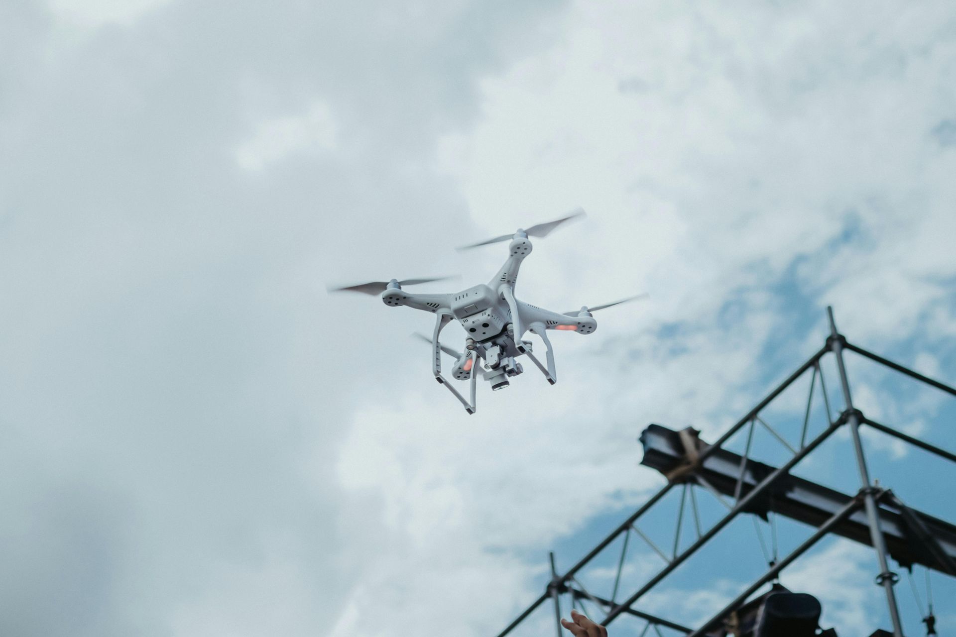
The unmanned aerial vehicles themselves are the most visible part of the process.
Drones used in construction range from consumer-grade quadcopters to professional fixed-wing systems.
The best choice depends on the size of the construction site and the type of data needed.
Just like tools in a kit, different drones deliver distinct benefits to a building project.
| Drone Type | Best For |
|---|---|
| Multi-Rotor (e.g., Quadcopter) | Detailed inspections, smaller sites, and capturing data in complex environments. |
| Fixed-Wing | Mapping large areas quickly and efficiently due to longer flight times and higher speeds. |
| VTOL (Vertical Take-Off and Landing) | Combining the benefits of both, offering hovering capabilities with long-range flight. |
Cameras and Sensors
The drone is just the vehicle; the real data collection is done by the payload it carries.
Imagine the different sensors you could put on a drone.
Imagine those high-res cameras snapping every detail.
We rely on those crisp visuals to craft both accurate maps and lifelike 3D models.
LiDAR sensors take on the most complex tasks.
LiDAR uses laser pulses to measure distances and create extremely accurate 3D point clouds.
For jobs that require precise ground heights or mapping land obscured by dense tree cover, this tool is ideal.
Thermal cameras are also a type of sensor that can be used for collecting data not visible to the naked eye.
Software
Once the drone lands, the collected data must be processed and analyzed.
This is where construction management software and specialized drone mapping platforms come in.
These systems digest all those raw pictures, then spit out the key facts you need to make a good decision.
Software like DroneDeploy or Pix4D automates the creation of maps and models.
That geospatial data then seamlessly integrates with other management tools, such as Autodesk or Procore.
Project teams can now integrate drone photos directly into their design plans.
Everyone on the team gets these updates quickly and easily.
Implementing Aerial Data Collection in Your Projects
Adopting aerial data collection on your construction sites is a straightforward process with careful planning.
Before moving forward, clearly define the problems you're working on.
Want to track progress better, get exact inventory counts, or make your workplace safer?
Figure out your aims first. Then, select the right tools and tech.
You have to pick the right drones, their specialized cameras and tools, and the software that runs it all.
You also need to decide whether to build an in-house drone program or partner with a third-party service provider.
You'll find your biggest wins come from the solid preparation you put in.
Your crew needs to master flying the drones both safely and skillfully.
This includes obtaining the necessary certifications for regulatory compliance, such as the FAA's Part 107 license for commercial drone pilots in the United States.
Begin with a single pilot project to test your workflow and identify any challenges that may arise.
You get to iron out the kinks in your system before expanding.
Challenges and Considerations

While aerial data collection offers numerous benefits, it also presents several challenges to consider.
Following all the rules always comes first.
Drones must adhere to rules established by both the government and local municipalities.
This means you really need to know the flight height limits and stay clear of no-fly zones, especially near airports.
Rain, snow, or extreme heat can definitely put a halt to our plans.
Bad weather, like strong winds, rain, or snow, keeps drones from flying, delaying information gathering.
Always have a backup plan, and choose your flight days when the weather forecast looks clear.
Managing the large volume of data generated by aerial surveys requires robust management systems.
Large, detailed aerial photos and 3D computer models can significantly consume your computer's storage and processing power.
Without a well-thought-out plan for your data, making sense of all this information becomes a real struggle.
In busy city areas, maintaining privacy can be challenging.
Before your drone takes off, carefully consider the surrounding land.
Respecting people's personal property means not filming their private spaces.
Talking openly about why your drone is flying helps calm any worries your neighbors might have.
The Future of Aerial Data in the Construction Industry
Construction will rely heavily on aerial data in the years ahead.
Artificial intelligence and machine learning are now built right into our data systems.
Imagine a system that handles all your reports in one place.
It flags problems instantly, tallies up materials, and even gives you a heads-up about potential holdups.
Expect construction site tools to work more closely together.
Data from drones will be combined with information from IoT sensors and ground-based robots to create a complete digital twin of the project.
Project managers will gain a clear picture and a firm grasp of their work.
Advancements in drone technology itself will also play a role.
Improved battery life will enable longer flight times, allowing for the survey of larger construction sites in a single flight.
Picture drones handling routine flights with almost no human input, gathering data much faster than before.
Conclusion
Managing a construction project?
Aerial data changes everything.
It's a powerful approach, completely shifting how we deliver those builds.
When you can see the entire project layout, it makes everything easier.
With improved safety and solid quality control, you'll quickly notice all the great results.
This system delivers solid, useful information that helps you make informed choices throughout a project's lifecycle.
Ready to view your project from new heights?
Contact 1st Choice Aerials today to schedule your aerial photography, inspection, or thermal imaging service!


