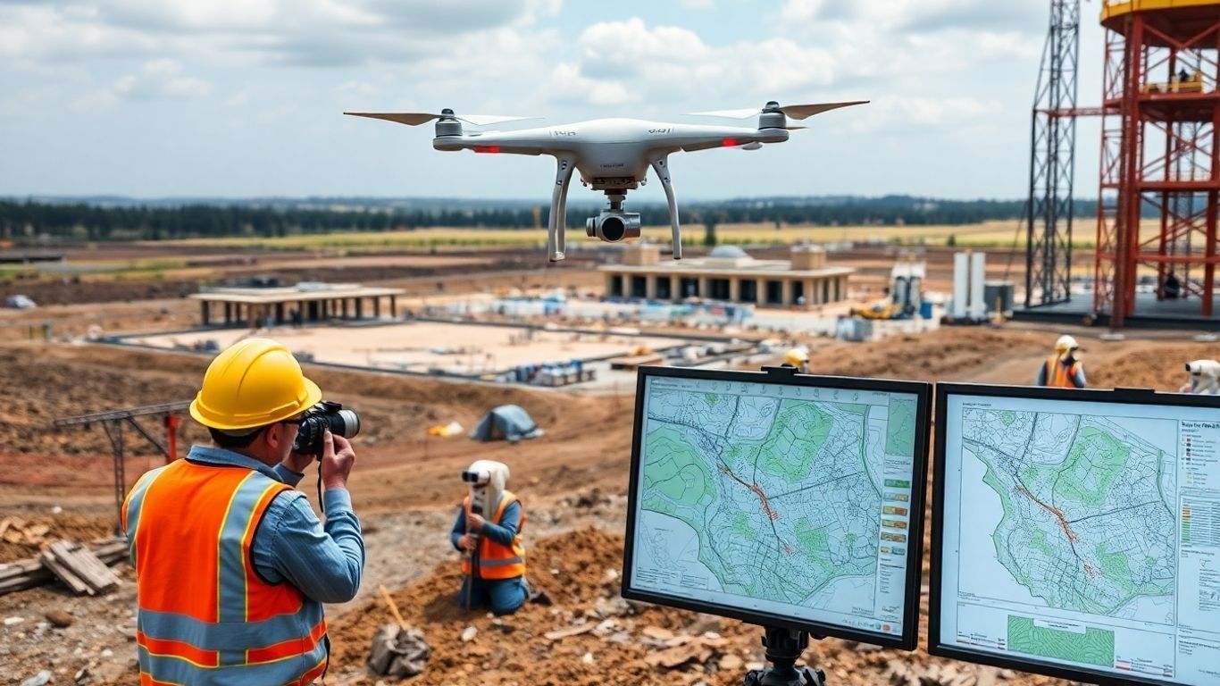
Turning Aerial Data into Actionable Insights | Visualize. Analyze. Optimize.

At 1st Choice Aerials, we believe data is only as valuable as the decisions it empowers. That’s why our drone services are built around one core philosophy:
Visualize. Analyze. Optimize.
Whether you're managing a large construction site, inspecting solar panels, or monitoring environmental changes, our drone-based aerial insights help clients across Dayton, Cincinnati, and Columbus, Ohio get more from their data—fast.
Visualize: See It All from Above
Drones give us a unique perspective—one that combines clarity, accuracy, and scale. With high-resolution RGB, thermal, and multispectral imaging, we help clients across Ohio see their operations and properties like never before.
Analyze: Extract What Matters
We don’t just deliver images—we deliver insights. Our analysis tools turn aerial data into actionable information, whether you need measurements, thermal detection, topography, or site modeling.
Optimize: Make Data-Driven Moves
Once you’ve got the right visuals and the right analysis, it’s time to act. Our clients optimize performance, safety, and decision-making with aerial insights that cut costs and improve outcomes.
🔨 Construction
- Track job site progress from above.
- Generate orthomosaic maps and 3D models.
- Monitor safety, logistics, and materials in real time.
- Improve communication with stakeholders using visual updates.
From framing to final inspection, aerial data keeps construction sites on schedule and under control.
🗺️ Mapping
- Create accurate property boundaries, contours, and elevation models.
- Perfect for large acreage, property developers, hunting land, and land managers.
- Receive both field-ready and wall-display versions of your map.
- Combine with thermal and environmental overlays for deeper insight.
Trusted across southern and central Ohio for premium aerial mapping services.
🌡️ Thermal
- Detect energy loss, moisture, and hidden damage.
- Roof inspections, flat roof assessments, and infrastructure analysis.
- Avoid costly downtime and reduce maintenance costs.
- Fast, non-invasive inspections for commercial buildings.
Serving clients in
Dayton,
Columbus, and
Cincinnati with precise thermal solutions.
🌿 Environmental
- Monitor wildlife, vegetation, erosion, and drainage.
- Assess waterway health, land usage, and conservation impact.
- Support compliance, documentation, and reporting with visuals.
- Ideal for public land managers, private landowners, and conservation groups.
A powerful tool for sustainable land and habitat management.
☀️ Solar
- Identify panel defects and underperforming arrays with thermal drones.
- Streamline inspections with visual + thermal overlays.
- Improve energy output and reduce system downtime.
- Essential for solar farms, installers, and maintenance crews.
Professional-grade drone inspection services for the growing solar energy sector.
🎯 Ohio’s Go-To Drone Partner
Whether you're in Columbus, Dayton, Cincinnati, or anywhere in between, 1st Choice Aerials delivers high-impact drone services that help you visualize, analyze, and optimize your world—one flight at a time.
📩
Contact us today to get started.


