Frankfort KY Aerial Progress Reporting for Builders: A Guide
You're managing a major construction project in Frankfort.
Every day feels like you're juggling a dozen tasks at once.
You have to keep clients happy, investors informed, and your own management team on track.
It's a constant battle to make sure everyone knows what's happening on site.
The last thing you need is a costly mistake hiding just out of sight.
A modern solution like Frankfort, KY aerial progress reporting for builders can change everything.
Think about the time spent walking the site trying to capture everything with a phone.
It's impossible to see the whole picture from the ground.
There is a much better way to handle job site documentation, and it starts with a view from above.
Ready to view your construction project from new heights?
Contact 1st Choice Aerials today to schedule your aerial photography, inspection, or thermal imaging service!
On This Page:
From Ground Level Frustration to a Bird's-Eye View
The traditional way of tracking a construction project has clear limits.
We have all been there, trying to explain a complex phase of construction over the phone.
These old methods are not only slow but also leave a lot of room for error and miscommunication.
Discovering an issue with site logistics far too late because you couldn't see the full scope is a common frustration.
You rely on blueprints and a stack of ground-level photos from different angles.
This approach works, but it isn't very efficient for modern construction projects.
Now, imagine getting a complete, high-resolution view of your entire Frankfort job site delivered to your inbox every week.
This isn't science fiction; it is what professional aerial photography services provide.
This technology offers a solution to the persistent challenges of site development.
What is Aerial Progress Reporting Anyway?
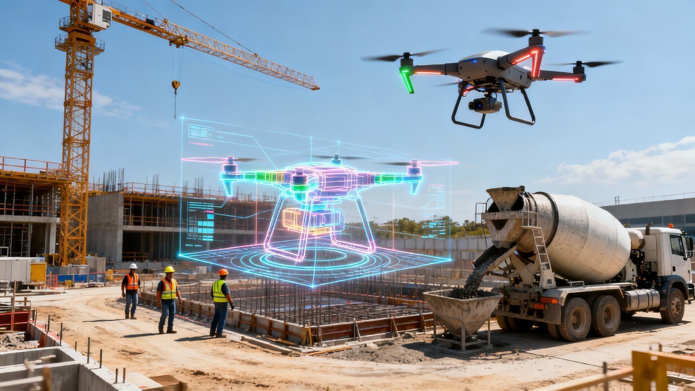
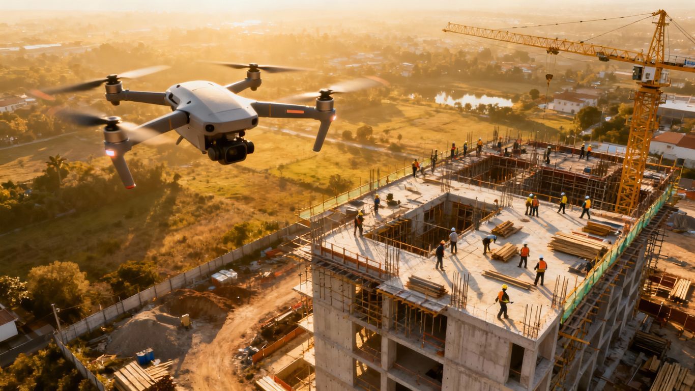
At its core, aerial progress reporting uses a professional aerial drone to capture detailed images and videos of your construction site.
A licensed pilot flies a carefully planned route over your project.
This flight gathers hundreds, or even thousands, of aerial images from a perspective you can't get from the ground.
It is much more than just taking pictures from up high.
Specialized software stitches this aerial imagery together.
It creates incredibly accurate, measurable 2D maps and 3D models of your entire property, a process that generates detailed ortho imagery.
You get more than just photos; you get actionable data.
You can track changes, measure distances, calculate volumes, and compare the completed work to the original design plans.
This transforms your ability to manage construction progress effectively.
Key Advantages for Frankfort Builders
So, why should you care about this technology for your next project in Frankfort?
It comes down to some very real benefits that affect your timeline, your budget, and your peace of mind.
You can improve communication, catch errors early, and make your entire operation more efficient.
Finally Get Everyone on the Same Page
How many hours do you spend in meetings or on calls trying to give stakeholders a progress update?
Aerial reports make this process simple and straightforward.
You can share a visual timeline or a 3D model that anyone from the property owner to your subcontractors can understand.
There is less room for confusion when everyone is looking at the same objective data.
This is crucial for keeping both the private sector investors and the project's management team aligned.
These visual reports answer questions before they are even asked.
They build trust and confidence with your clients by showing them tangible progress in a way words never could.
It gives them an unprecedented view of their investment taking shape.
This level of transparency is becoming standard practice in cities from Kansas City to Salt Lake City.
Spot Trouble Before It Wrecks Your Budget

Some of the most expensive mistakes on a construction site happen because something was missed.
A stockpile of materials may have been placed in the wrong area, blocking access for another crew.
Or perhaps drainage issues related to water resources are developing that you cannot see from ground level.
A single aerial survey can highlight these potential problems early.
This technology is vital for monitoring everything from general progress to specific concerns like flood control measures.
You gain a powerful tool for proactive problem-solving.
Catching these things quickly means you can fix them before they cause significant delays or require costly rework.
Stop Wasting Time and Money
Your time is valuable, and so is your crew's.
Sending someone to walk a large site for progress photography can take hours.
A drone can survey that same area in a fraction of the time and capture far more detail.
This efficiency directly impacts your bottom line and supports workforce development by allowing skilled labor to focus on building tasks.
Faster, more accurate data also helps you manage resources better.
You can verify that earthwork is complete before paying an invoice or check that materials have been delivered, all from your office.
This is a significant step up from traditional methods.
Better data allows for better decision-making, which is the foundation of any successful construction business.
It frees up your team to focus on what they do best.
How Frankfort, KY Aerial Progress Reporting for Builders Works
You might be thinking this sounds complicated, but the process is straightforward.
A professional aerial data company handles all the technical aspects for you.
Your job is simply to use the information they provide to make better decisions.
Here's a look at what typically happens:
- Planning and Safety First: Before any drone takes off, the provider studies your site maps. They plan the flight path to capture aerial data of all necessary areas, sometimes establishing ground control points for maximum accuracy. They also check for any flight restrictions and handle all compliance with government agencies like the FAA, a critical step that ensures safe operations.
- The Data Capture Flight: A licensed and insured drone pilot arrives on site at the scheduled time. They perform pre-flight checks and then fly the automated mission to capture aerial imagery. This flight is usually quick and does not disrupt your work on the ground.
- Processing the Images: This is where the real work begins. The hundreds of images are uploaded to powerful software for a process called photogrammetry. This process creates the orthomosaic maps and 3D models with incredible detail, sometimes down to three-inch resolution, and then the imagery is stored on secure servers.
- Delivering Your Reports: Within a day or two, you receive your report. This is usually through a secure online portal where you can view the maps, compare photos, and use measurement tools. This information is often made publicly accessible only to your approved team members.
The entire system gives you powerful insights without adding more work to your plate.
It's about getting better information, faster.
This service streamlines your workflow and provides documentation that can be invaluable.
Practical Uses Beyond Simple Progress Photos
While weekly construction progress photography is a huge benefit, the data collected can be used for so much more.
This technology opens up new ways to manage your construction project in Frankfort.
You'll soon wonder how you ever managed without it.
Think about these other applications:
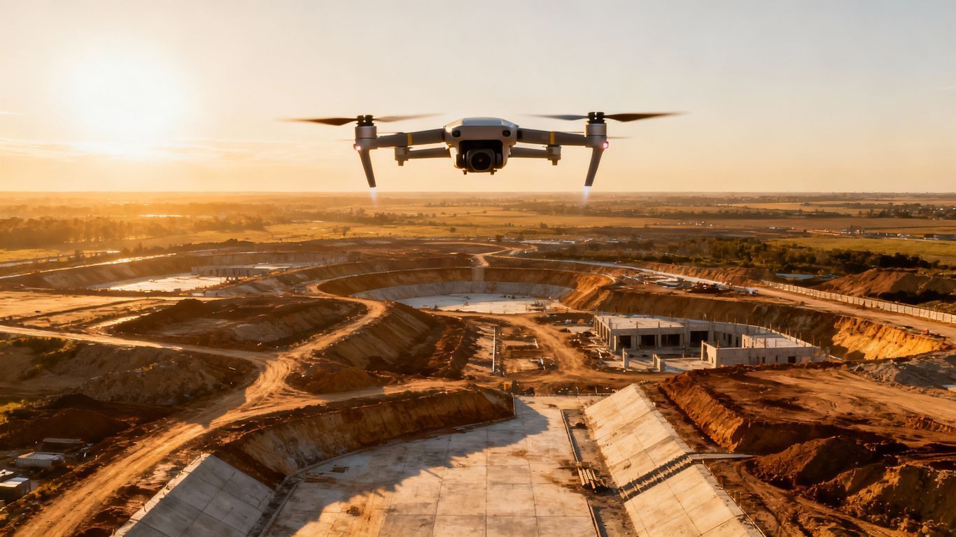
- Earthwork Validation: Before you pour a foundation, you need to know the site is graded correctly. Aerial data can calculate cut and fill volumes with fantastic accuracy, helping you verify the work of your excavation contractors. This data can even be compared to information from a survey provided by NRCS for environmental planning.
- As-Built vs. Design: The 3D model can be overlaid with your original BIM or CAD files. This allows for a direct comparison between the design and the actual construction. This quality control check can find deviations before they become serious problems.
- Better Site Logistics: An overhead view is perfect for planning. You can see the best places for material staging, heavy equipment access, and temporary facilities. According to research on project failures, poor planning is a significant cause of construction delays, which logistics can help prevent.
- Enhanced Safety: From the air, you can spot potential safety hazards that might be missed on the ground. You can check for proper fall protection or identify unsafe storage of materials. This is vital for any project, especially during emergency management situations.
- Marketing Power: Once the project is done, what better way to show it off than with stunning aerial photos and videos? You can use this content on your website and social media to attract new real estate clients. A time-lapse video showing the project from start to finish is a powerful marketing tool.
- Infrastructure Insight: This technology is not limited to buildings. The Kentucky Transportation Cabinet uses similar aerial data for monitoring Kentucky transportation projects, from work in Boone County to improvements along the Ohio River. Your project benefits from the same high-level oversight.
Conclusion
Running a construction project is a complex job with many moving parts.
Any tool that brings clarity, improves communication, and reduces risk is a tremendous asset.
Frankfort, KY, aerial progress reporting for builders is precisely that kind of tool.
It helps you stay on schedule, control your budget, and keep all your stakeholders confident and informed.
It offers a level of insight that supports every member of your team.
From initial site development to the final handover, this data is invaluable.
Ready to view your project from new heights?
Contact 1st Choice Aerials today to schedule your aerial photography, inspection, or thermal imaging service!


