
Drone Stockpile Volume Measurement for Construction
Imagine scrambling up a huge mountain of rocks, tape measure in hand.
That kind of manual work is definitely old news now.
For many construction sites, however, that remains the reality.
Blindly estimating your on-site stock invites expensive errors that hurt your whole supply chain.
Order more than you need, and your budget takes a hit.
Order too little, and your entire team stands around, waiting for materials to arrive.
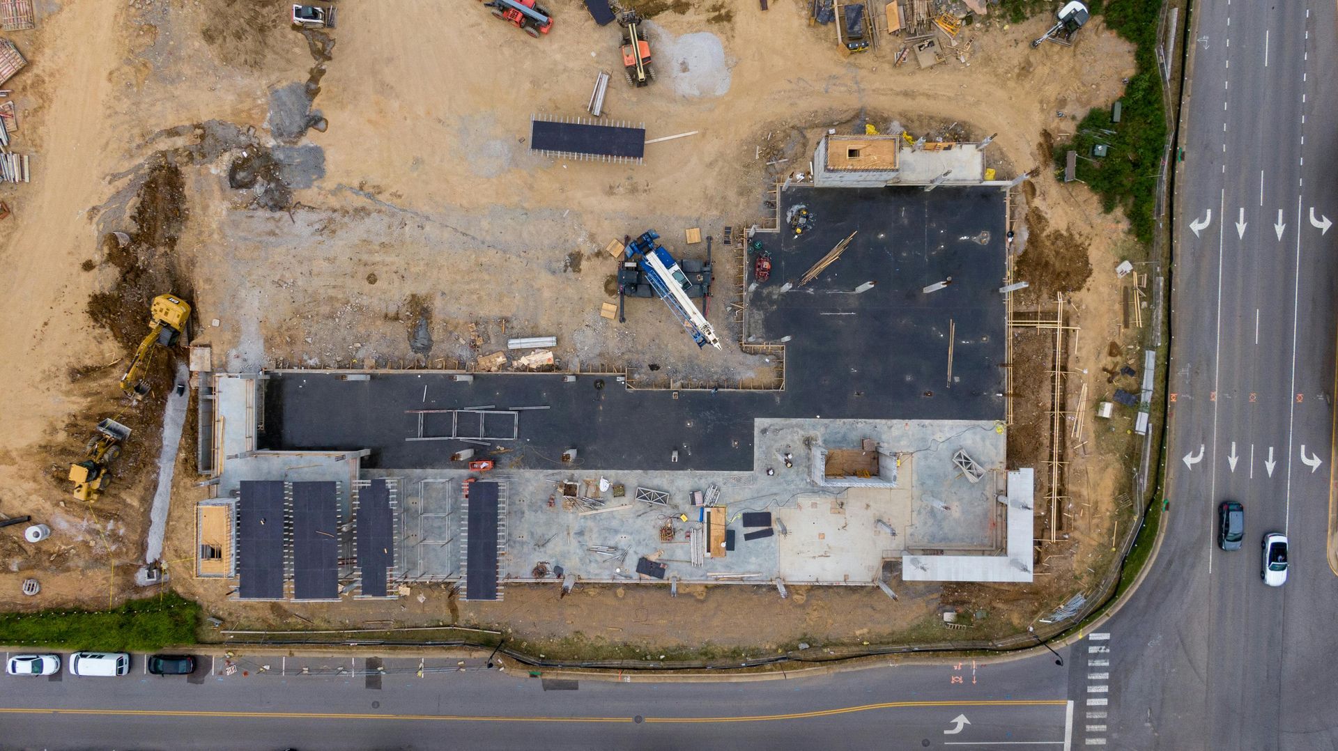
Drone scans quickly measure your construction stockpiles, eliminating the need for guesswork in inventory management.
Ready to view your construction project from new heights?
Contact 1st Choice Aerials today to schedule your aerial photography, inspection, or thermal imaging service!
On This Page:
Why The Old Way is Failing You
Ever look at your inventory count and just know it's wrong?
For years, the standard method involved survey teams walking stockpiles with GPS rovers or using total stations.
This traditional approach is not only slow but also introduces significant safety risks to the job site.
Sending someone to clamber over loose piles of sand, aggregate, or soil is an accident waiting to happen, far more dangerous than using a bucket truck for other elevated tasks.
The U.S. Bureau of Labor Statistics consistently lists construction as one of the most dangerous industries.
There is no need to introduce an unnecessary risk when a better method for stockpile measurement exists.
Besides the safety concerns, manual stockpile measurements are often inaccurate.
The complex and irregular shapes of stockpiles make it nearly impossible to get a true reading by hand.
This leads to reporting errors, inventory discrepancies, and ultimately, a negative impact on your bottom line and supply chain management.
Why You Need Drone Stockpile Volume Measurements
Picture this: you get exact measurements for every pile of material on your property, finished in just a few hours instead of waiting days.
Drone technology completely changes how we measure the volume of things.
Our small aircraft buzzes over your location, grabbing pictures from every side.
This data is then processed using powerful drone software to create a highly detailed 3D model of your stockpiles.
From this model, you can get incredibly accurate volumetric measurements.
More details on how this works will be provided later.
Speed and Efficiency You Can Count On
A task that used to take a full day or more for a survey crew can now be completed before lunch.
One drone flight collects data from a massive site, saving time.
This speed means you can measure stockpiles and track inventory more frequently.
Instead of monthly or quarterly inventory checks, consider doing them weekly or even after every major delivery.
This provides you with near real-time data, giving you a much tighter grip on your materials and budget.
Faster data collection allows for more agile and informed decisions to streamline operations.
Improved Safety
A drone operator works remotely.
This immediately cuts out major workplace dangers and safety concerns from your property.
Reducing risk is a huge benefit for any construction manager or mining company.
It keeps workers safe and can even help lower insurance premiums.
A safer job site is also a more productive and efficient job site.
Unmatched Accuracy in Your Data

Human error is a natural part of any manual measurement process.
Drones, along with their mapping software, significantly reduce that problem because their cameras capture all the important site details.
The digital 3D models they create capture the exact shape and size of each pile.
Forget manual measurements for stockpiles.
Research into volumetric analysis clearly shows that using drones with photogrammetry gives us vastly better precision.
Better and more accurate data leads to better business intelligence.
You can track material usage, plan orders more effectively, and reconcile invoices with complete confidence.
No more paying for material you never received or experiencing unexpected shortages that delay progress.
How Drone Stockpile Volume Measurement Works
You're probably asking, "How does a drone really get those measurements?"
It's a straightforward workflow that combines high-tech hardware with powerful mapping software.
- Flight Planning - The drone pilot fires up special software, drawing the automatic route right above the material pile. The drone takes pictures that overlap just right. This helps us build truly detailed and exact 3D models. The pilot sets the altitude and camera settings based on the project's specific requirements for stockpile data collection.
- Data collection - The drone flies its programmed path, snapping hundreds—sometimes thousands—of incredibly sharp pictures all by itself. Every picture the drone snaps gets its exact spot on Earth recorded by the built-in GPS. That location data is super important for accurate mapping later on.
- Data Processing: The captured images are uploaded into photogrammetry software, such as DJI Terra or Pix4D. This is where the digital construction happens. The software analyzes the aerial photographs, identifies common points, and stitches them together to create a dense point cloud and a textured 3D mesh of the site.
- Volume Calculation and Reporting: Within the software, the operator defines the base or reference level of each stockpile. The program then uses this information to calculate volume with incredible precision. The final output is a detailed report showing the volume of each stockpile, often accompanied by a 3D visualization.
This report can be easily shared with project managers, accounting departments, and other stakeholders.
It provides everyone with a clear, verifiable record of the site's inventory.
The visual data is just as valuable as the numbers, helping you see your site in a completely new way.
Photogrammetry vs. LiDAR: What's the Difference?
Photogrammetry, as we've discussed, uses photos to create 3D models.
It is cost-effective and produces visually stunning, full-color models that are easy to interpret.
LiDAR, which stands for Light Detection and Ranging, works a bit differently.
A LiDAR system on a drone shoots out quick bursts of laser light. It then times how long those light beams take to bounce back after hitting a surface.
This light detection method creates an extremely dense and accurate point cloud of the area.
So, which one is better for the stockpile measurement process?
For the most common construction materials like soil, sand, and aggregates, photogrammetry is more than accurate enough and typically comes at a lower price point.
LiDAR mapping excels in situations where vegetation covers the piles, as the laser can penetrate through gaps to measure the ground beneath.
For the majority of construction jobs and larger sites, photogrammetry is the perfect tool for the job.
Camera drones quickly gather precise data.
However, projects that require lidar will benefit from its ability to bypass surface obstructions for the most precise ground-level data.
Implementing Drone Technology for Stockpile Measurements
Getting started with drones for measuring volume has become surprisingly easy.
You can assemble your own drone crew or hire experts to handle the work.
The right choice depends on your company's size, frequency of need, and budget.
Building an internal program involves purchasing hardware, like DJI drones, and drone software.
You will also need to train and certify pilots under FAA regulations.
While it requires an upfront investment, this approach offers the most flexibility for companies that need frequent surveys.
Alternatively, engaging a professional entity skilled in unmanned aerial system operations presents a pragmatic solution.
These companies handle everything from the data fly mission to processing and reporting.
This is a great option for trying out the technology or for companies that only need measurements provided quarterly or on a project-by-project basis.
Conclusion
Shifting away from risky and inaccurate manual methods is no longer a question of 'if,' but 'when.'
The move towards using drone stockpile volume measurement for construction is a clear step forward for the industry.
Drones gather information quickly, safely, and with pinpoint accuracy.
By using this technology, you gain a new level of control over your inventory and your project's finances.
The detailed data and 3D models provide insights that were previously impossible to obtain.
Ready to view your project from new heights?
Contact 1st Choice Aerials today to schedule your aerial photography, inspection, or thermal imaging service!


