Columbus Ohio Drone Surveying for Land Development
Are you tired of waiting weeks for land surveying results?
Your entire land development project in Columbus is on hold, waiting for a team with stakes and tape to map out a massive site.
This slow process costs you time and money, pushing your deadlines further and further away.
But what if you could get survey-grade data for your entire property in a matter of hours, not weeks?
This is exactly what professional Columbus, Ohio drone surveying services for land development can do for your business.
It is a smarter path for modern construction and development.
Ready to view your construction project from new heights?
Contact 1st Choice Aerials today to schedule your aerial photography, inspection, or thermal imaging service!
On This Page:
What Exactly is Drone Surveying? It's More Than Just a Flying Camera
Let's clear something up.
Drone surveying is not about taking a few nice photos from the sky.
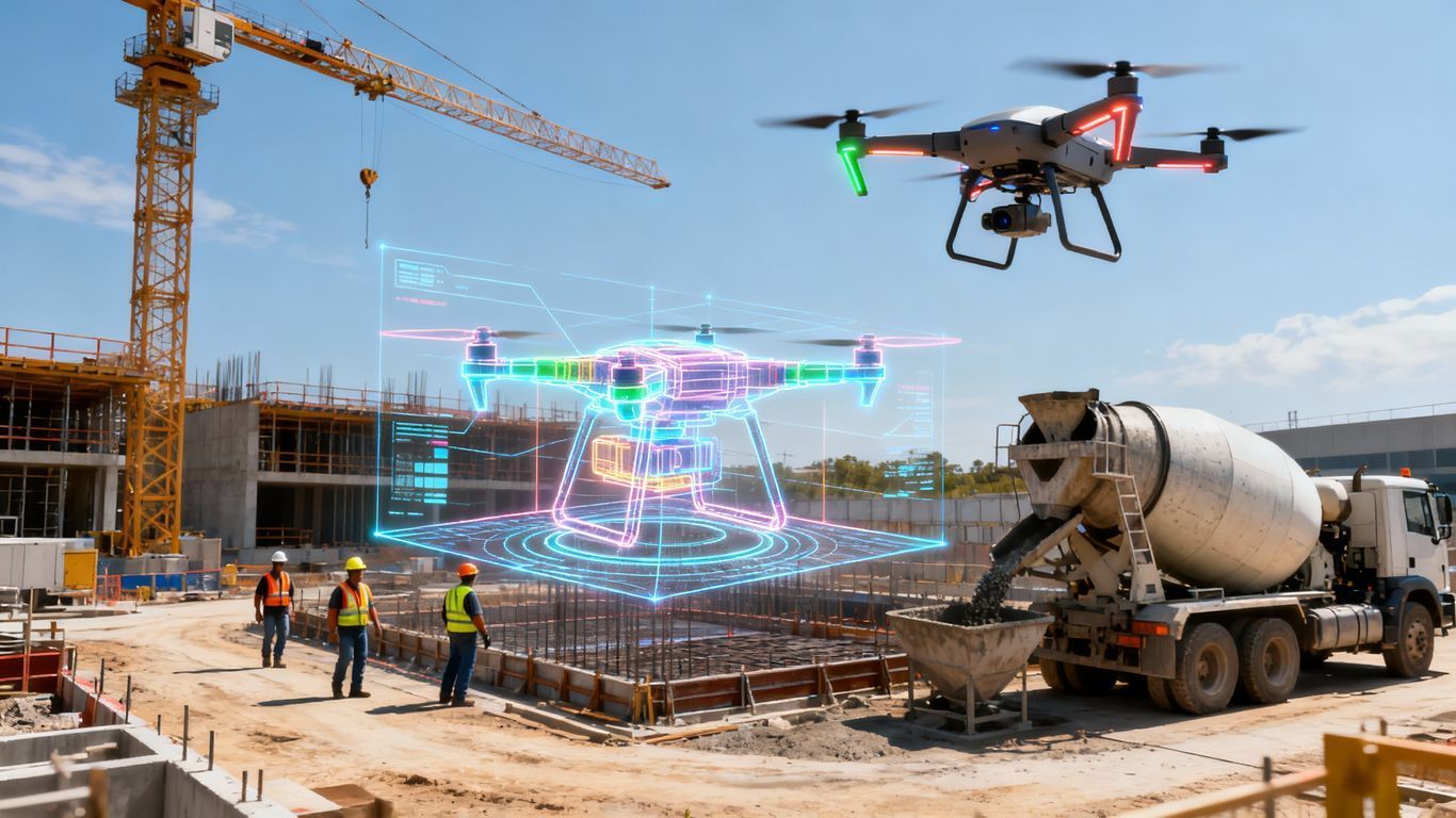
This is a highly technical process. It uses advanced drones equipped with specialized sensors to conduct detailed aerial surveys.
These drones fly a carefully planned route over your property.
Using a technique called photogrammetry, they capture thousands of high-resolution images from different angles.
This method offers excellent high-resolution imaging capabilities for most project needs.
For projects requiring data through vegetation or in low-light conditions, drone LiDAR mapping is another powerful tool. LiDAR, or Light Detection and Ranging, uses laser pulses to measure distances, generating a dense point cloud.
This LiDAR mapping technology can penetrate tree canopies to map the actual ground beneath.
Specialized software then processes this data, whether from images or LiDAR.
It creates incredibly detailed and accurate 3D models and maps of your land.
Think of it as a digital twin of your project site that you can explore right from your computer.
The Tangible Benefits of Columbus Ohio Drone Surveying Services for Land Development
So, we know it's faster and safer.
But what does that really mean for your project's bottom line?
The benefits are direct and have a real impact on your success.
You get better data, make smarter decisions, and can finish your project ahead of schedule.
This isn't just an upgrade; it is a smarter way to manage your development projects from start to finish.
Let's break down the advantages.
- Unbelievable Accuracy and Detail
Modern drone survey methods can generate precise topographic maps with centimeter-level accuracy. The models are so detailed that you can see ground features that a human eye might miss. This high level of precision helps engineers and architects plan with total confidence. - Drastically Reduced Costs
By cutting down on fieldwork hours and crew size, you see significant savings. The accurate data also helps prevent costly mistakes and rework later in the project. That is a benefit you will feel directly on your budget. - Speeding Up Your Project Timeline
Getting your aerial survey data in hours instead of weeks changes everything. This quick turnaround lets you accelerate every phase of your project. You can complete feasibility studies faster and start construction sooner. - Comprehensive Data You Can Actually Use
You get much more than just a flat map from these drone mapping services. The deliverables include ortho mosaic images, digital surface models (DSMs), and 3D point clouds. You can also generate precise topographic data with digital elevation models for site planning. - Improved Safety for Your Team
Keeping people off dangerous terrain is a huge win. A study from the Bureau of Labor Statistics shows that construction can be a hazardous job. Drone surveying greatly reduces your team's exposure to on-site risks like falls or equipment accidents on construction sites.
How Drone Surveying Helps Specific Columbus Industries
Drone surveying is not a one-size-fits-all solution.
Its applications are specific to the needs of different industries.
If you work in development or construction in the Columbus area, you'll see how this drone technology can directly help you.
From planning a new shopping center in Upper Arlington to monitoring a large infrastructure project, the data from drones provides critical insights.
It supports better project planning and execution across the board. See how it fits into your field.
Land and Commercial Real Estate Development
Are you looking at a new property for commercial real estate development?
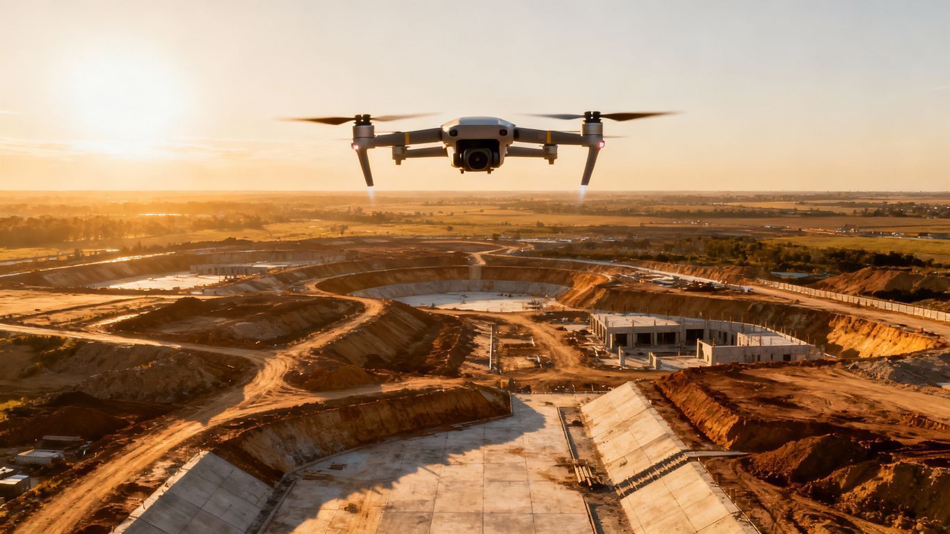
A drone survey can give you a highly detailed topographic map very quickly.
This helps you understand site drainage, digital elevation, and other factors for your feasibility study.
Architects use these accurate models to design buildings that fit perfectly with the landscape.
You can also use stunning 3D models and aerial fly-throughs as marketing materials to attract investors and tenants.
High-quality real estate photography and even virtual tours captured by a professional drone photographer can make a property stand out.
This is where utilizing drones for real estate becomes a powerful sales tool.
A detailed aerial survey offers a perspective that ground-level photos cannot capture.
For large properties, property management companies can use this data to plan maintenance and improvements.
Construction and Infrastructure
On a construction project, moving dirt is expensive.
Aerial surveys can perform very accurate earthwork calculations.
You'll know exactly how much soil needs to be moved, which helps you create precise bids and budgets for construction purposes.
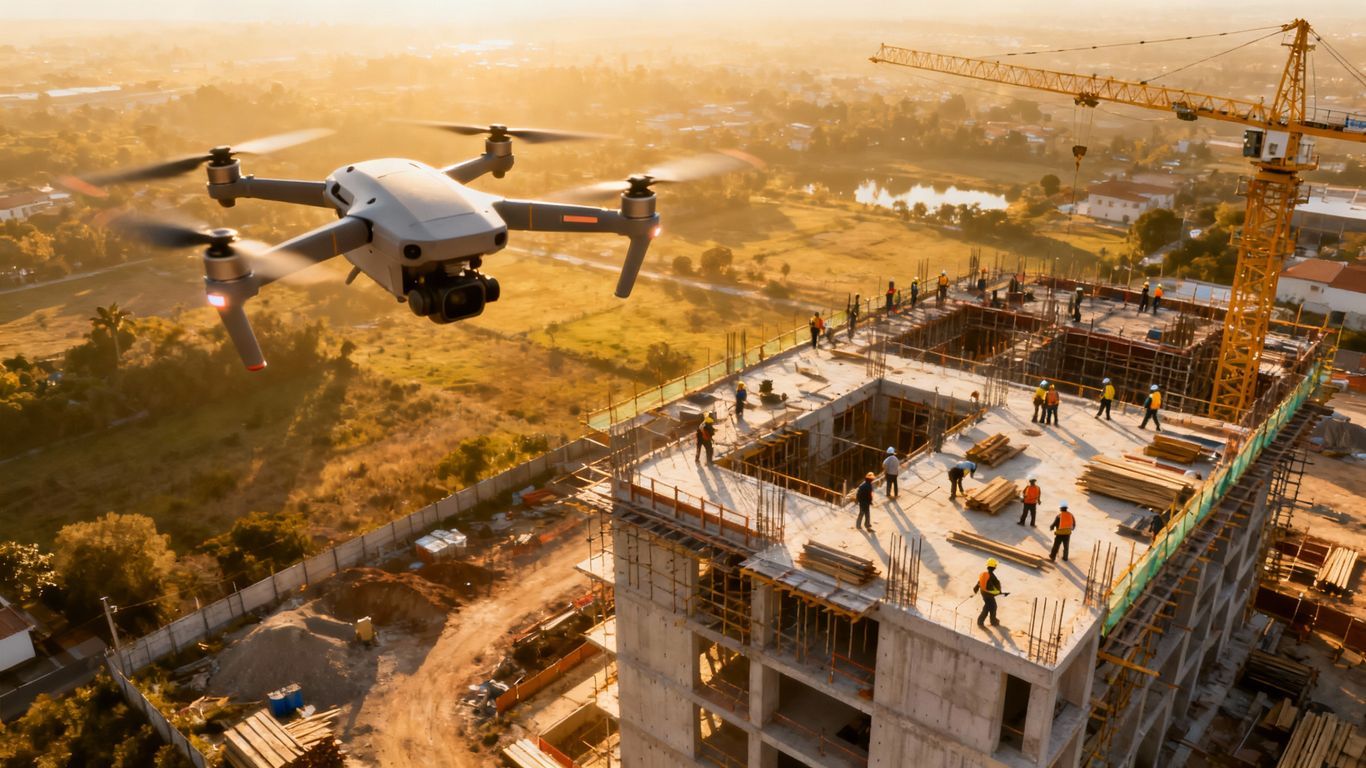
You can also fly the site weekly or monthly to track construction progress.
Comparing the new data to the original plans shows you if the project is on schedule.
It is also perfect for creating as-built surveys after the work is done, providing crucial verification.
| Construction Phase | Drone Surveying Application |
|---|---|
| Pre-Construction | Topographic Mapping, Site Planning, Bidding |
| During Construction | Progress Monitoring, Stockpile Volumes, Quality Control |
| Post-Construction | As-Built Surveys, Site Handoff, Final Verification |
Solar Farm Development
Building a solar farm needs careful planning.
Drone data can help find the perfect location for solar panels.
It can analyze the terrain and identify any shading from trees or buildings.
This information is used to optimize the panel layout for maximum sun exposure, resulting in the farm generating as much energy as possible.
Drones are also excellent for solar panel inspection after installation.
Using thermal imaging sensors, a drone can quickly identify damaged or underperforming panels without manual checks.
This kind of detailed panel inspection is faster and safer than traditional methods.
Regular drone inspections help maintain the efficiency of the entire solar farm.
Environmental Monitoring
Protecting the environment is a key part of modern development.
Drones can help with this.
They can be used to map out wetlands or monitor soil erosion over time.
You can also use drone services to measure stockpile volumes at mines or quarries with incredible accuracy.
Flying the site over time helps you see how the landscape is changing.
This data is critical for environmental compliance and reporting.
The Drone Surveying Process: What to Expect
So you have decided that drone surveying is the right choice for your project.
What happens next?
The process is straightforward and is organized to be as non-disruptive as possible.
A professional team will handle all the technical details.
Your main job is to explain your project goals.
Here is a simple breakdown of what the process looks like.
Step 1: Pre-Flight Planning
First, the team will discuss the project with you.
They want to understand precisely what data you need.
Then they plan the drone's flight path.
This includes checking all airspace rules.
Professionals must follow all regulations set by the Federal Aviation Administration (FAA).
This makes sure every flight is safe and legal.
Step 2: Data Capture on Site
Next, the drone pilot comes to your site.
They will set up a few ground control points for maximum accuracy.
Then the drone will fly its pre-planned, automated mission.
This part is usually very quick.
The drone quietly flies high above the site.
It rarely interferes with any other work happening on the ground.
Step 3: Data Processing and Analysis

Once the flight is complete, the data processing begins.
The thousands of images and data points are loaded into powerful software.
This software creates the final maps and models.
This processing step turns the raw data into usable data.
The result is a highly accurate, measurable digital version of your property.
It's an essential part of the modern surveying workflow.
Step 4: Delivering Actionable Insights
Finally, you get your data.
This is not just a pile of pictures.
You get professional survey deliverables formatted for your needs, including precise topographic maps and elevation models.
These files can be topographic maps, 3D models, or reports with volume calculations.
The best part is that this data can be used directly with the engineering software you already have.
This makes the information immediately valuable to your whole team for project planning and execution.
Conclusion
The old way of surveying land no longer meets the demands of many modern projects.
It's too slow, too expensive, and often gives you an incomplete picture.
For land development in a competitive market like Columbus, you need every advantage you can get.
Drone mapping technology gives you that edge.
By getting faster, more accurate, and more complete data, you can make better decisions, keep your projects on schedule, and improve your bottom line.
Ready to view your project from new heights?
Contact 1st Choice Aerials today to schedule your aerial photography, inspection, or thermal imaging service!


