How Drone Services are Reshaping Construction Projects in Dayton
In the fast-paced world of construction, time is money — and information is power. Today’s builders and developers in Dayton, Ohio face a constant challenge: how to keep projects on schedule, within budget, and fully compliant with regulations. That’s where drone technology is stepping in, transforming job sites from the air.
Drone services have become an essential part of modern construction, offering unmatched visibility, speed, and precision. From earthwork to final walkthroughs, aerial insights provide a full picture of the job site — all without disrupting the work below. For construction teams in Dayton, this means better decisions, faster communication, and fewer costly surprises.
At 1st Choice Aerial, we combine local knowledge with high-performance drone workflows to streamline every phase of your project. Our approach is built on three pillars: Visualize. Analyze. Optimize. This means clear imagery, smart insights, and results that directly improve your bottom line.
Explore our full range of construction drone solutions to see how we support contractors, developers, and civil engineers across Southwest Ohio.
Streamlining Progress Monitoring with Aerial Insights
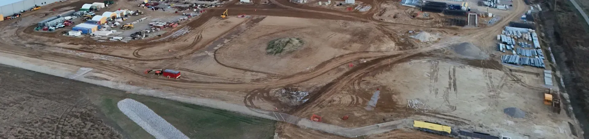
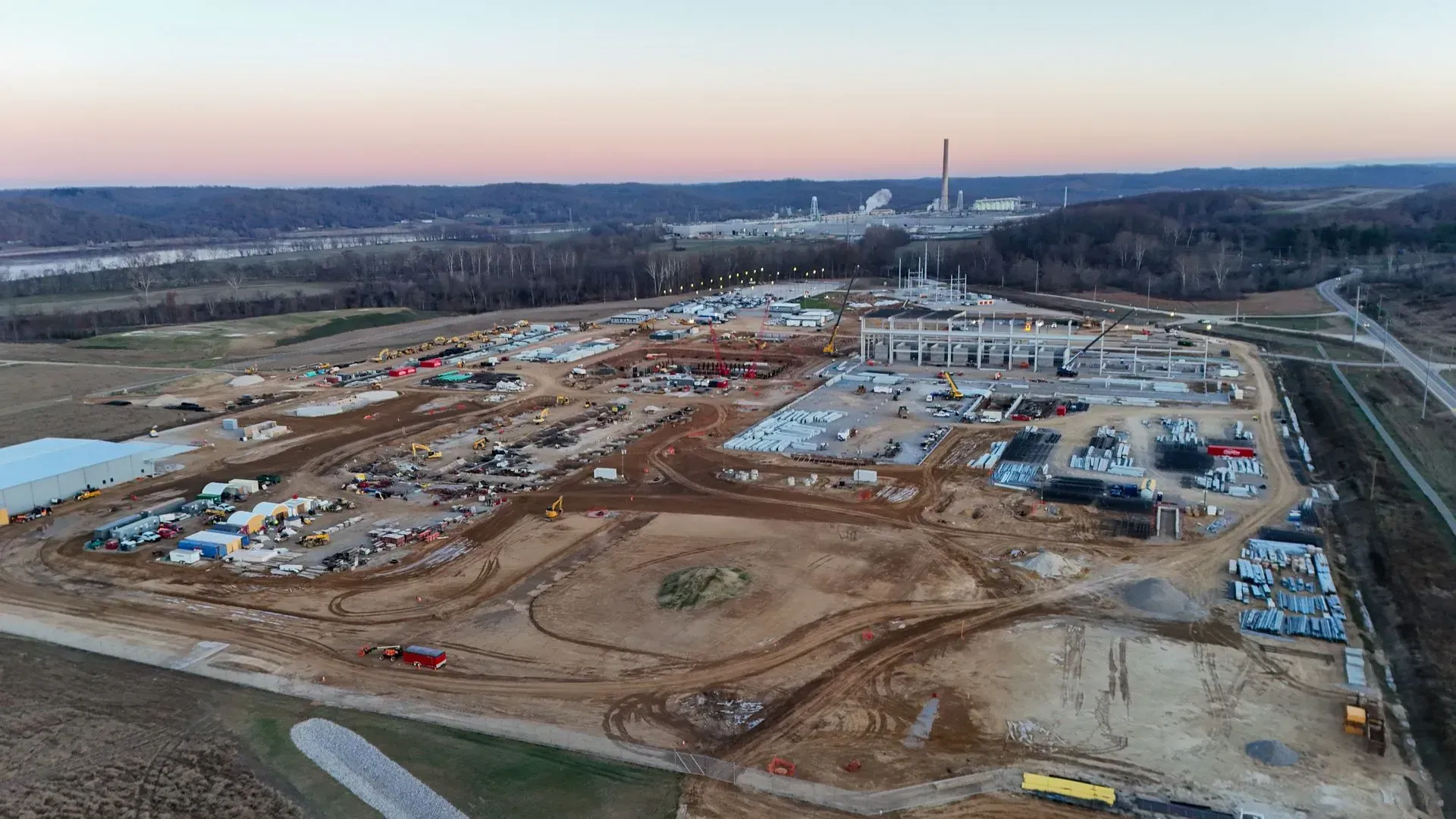
Keeping track of construction progress can be a logistical headache. Site visits, manual updates, and fragmented communication often lead to delays, missed milestones, and confusion among teams. Drone progress monitoring changes the game by offering a top-down view of the job site — consistently and accurately.
With our drone services, construction managers in Dayton can receive weekly or milestone-based aerial updates that visually document the project’s status. High-resolution photos and videos are captured from repeatable flight paths, allowing you to create side-by-side comparisons and timelines. These visuals are ideal not just for internal planning, but also for communicating with clients, stakeholders, and permitting authorities.
Our visual data helps your team visualize progress, identify delays early, and pivot quickly — whether you're managing subcontractors, reporting to investors, or preparing documentation for local agencies.
Our gallery showcases how we help builders document and display job progress with clarity and confidence.
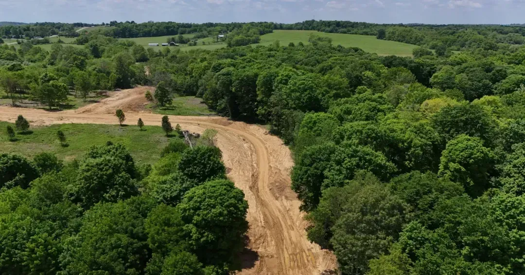
Site Evaluations and Pre-Construction Planning with Local Expertise
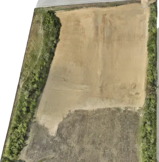
Before a single machine hits the dirt, construction teams need a clear understanding of the site. What’s the elevation profile? How does water flow across the land? Where are the best access points? These questions are critical — and drone data helps answer them with precision and speed.
At 1st Choice Aerial, we specialize in site evaluation services tailored to Dayton-area conditions. From small commercial lots to multi-acre developments, our drones can map terrain, generate orthomosaics, and create elevation heatmaps that inform design and planning. This is especially useful when coordinating with architects, engineers, or zoning officials.
Our local roots give us an edge: we understand regional topography, permitting considerations, and environmental factors that affect construction timelines. With every flight, we aim to deliver insights that help you move forward with confidence and clarity.
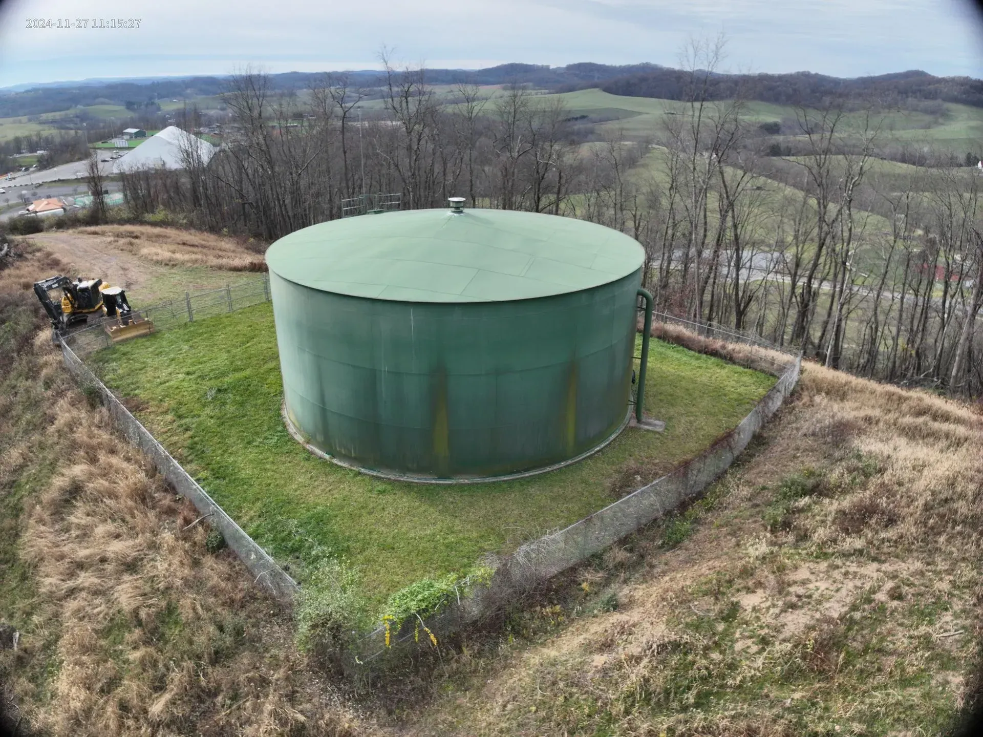
And when your project requires documentation for inspections or regulatory compliance, we offer aerial inspection support that’s efficient and reliable.
Beyond the Job Site: Marketing, Compliance, and Stakeholder Communication
Drone services don’t just support operations — they enhance your brand. High-quality aerial imagery can elevate your company’s marketing efforts, attract new clients, and showcase completed work in ways that ground-level photos simply can’t.
At 1st Choice Aerial, we frequently provide Dayton-area contractors with professional-grade drone visuals for websites, portfolios, and presentations. Our imagery helps you highlight craftsmanship, scale, and attention to detail — perfect for winning bids or engaging communities.
Additionally, drone footage serves a critical role in regulatory documentation. From safety inspections to city planning reviews, having a visual record of construction stages can simplify approvals and prove compliance. We deliver all content promptly, with formats tailored for your specific needs.
Curious how we turn drone footage into results? Check out our process for turning aerial data into actionable insights and see how we help clients like you Visualize. Analyze. Optimize. — from planning to project handoff.
At 1st Choice Aerials, we’re proud to support Dayton’s construction industry with fast, accurate, and cost-effective drone solutions. Whether you need progress tracking, cut/fill calculations, or site evaluations, our local expertise and advanced drone tech help keep your project on time and on budget. Visualize. Analyze. Optimize. Let us help you build smarter from the ground up.
For construction projects in Dayton, contact 1st Choice Aerials for fast, reliable drone services. We provide progress monitoring, cut/fill analysis, and detailed site evaluations to keep your project moving forward. With local knowledge and industry experience, we deliver the data you need—when you need it.


