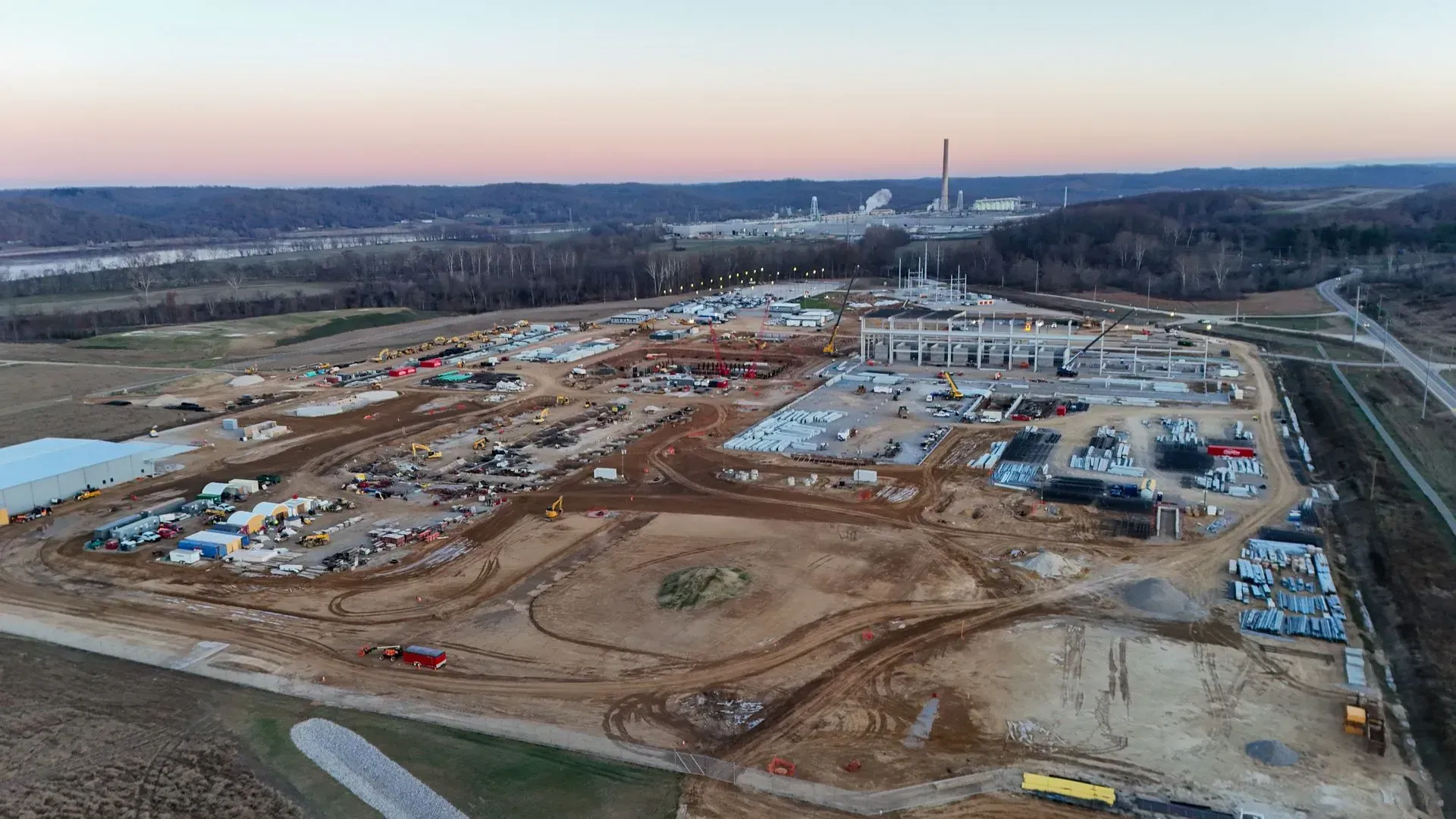
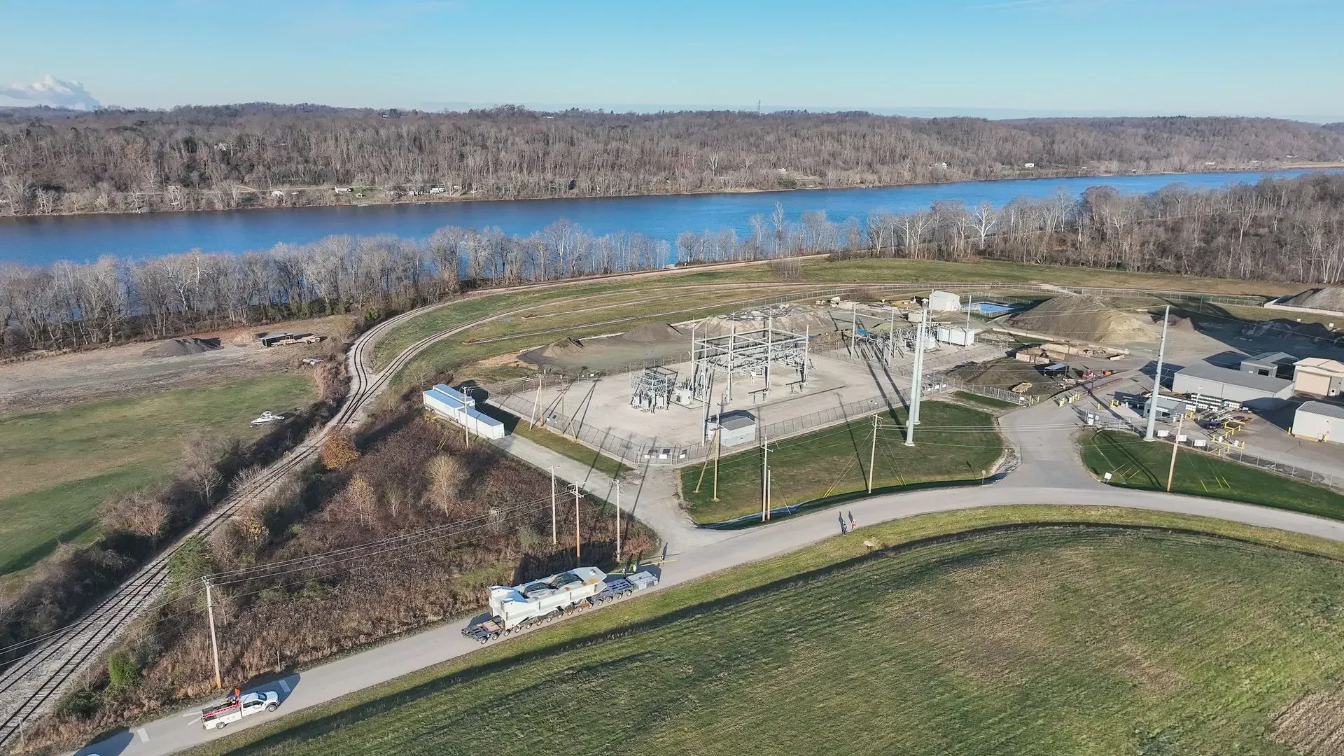
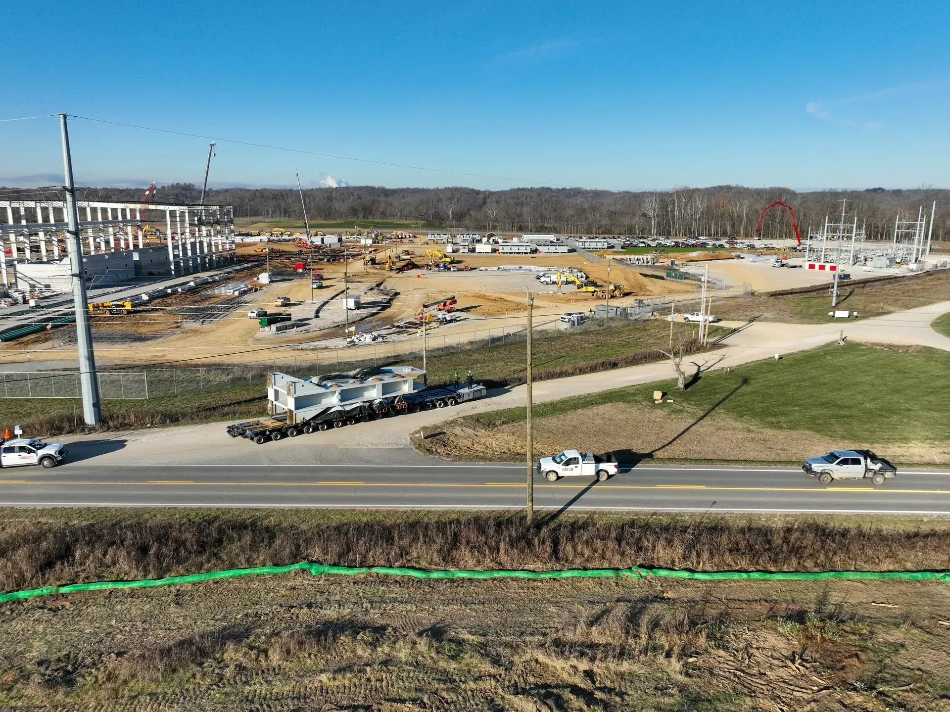
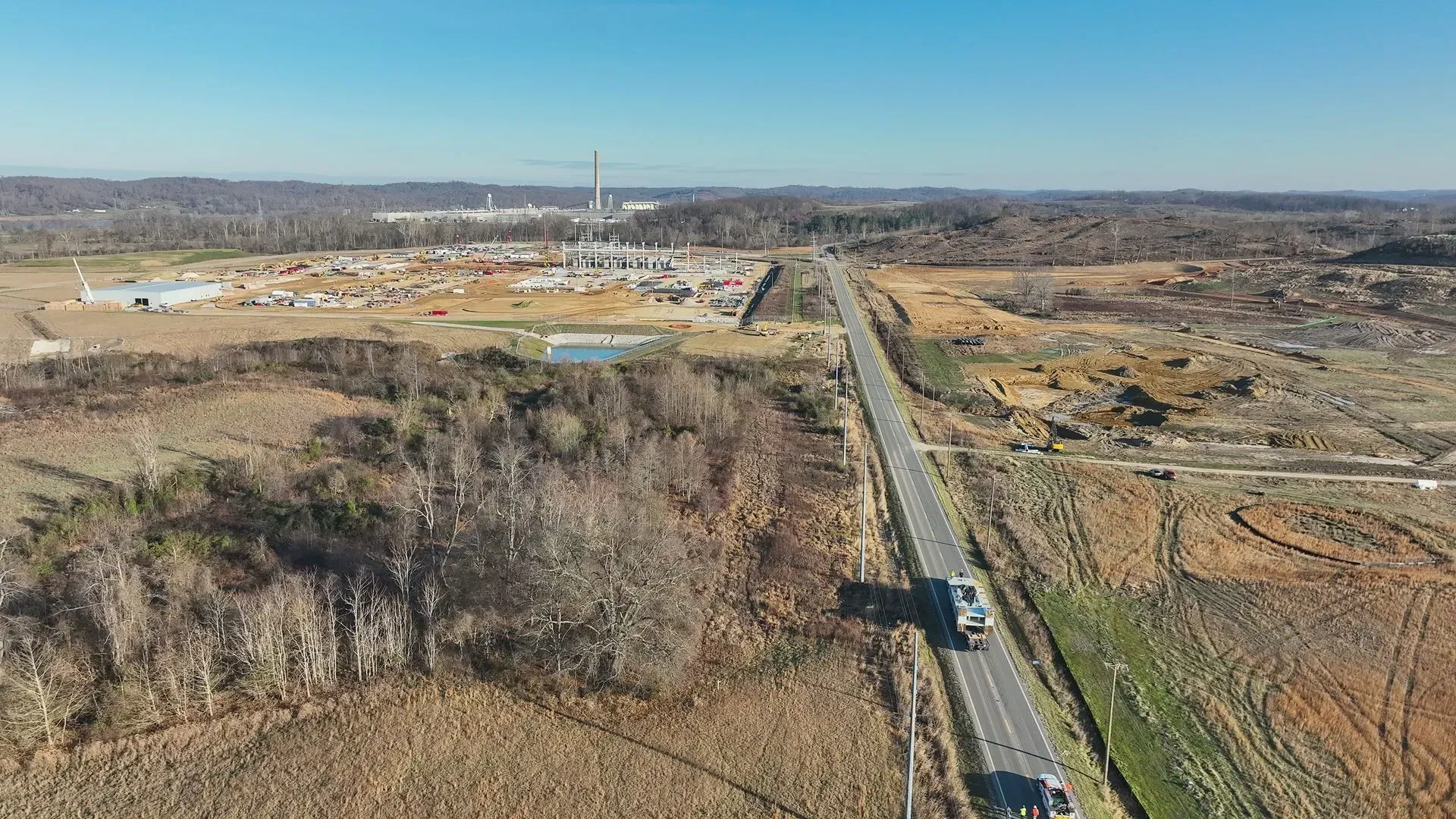
Drones enhance construction services through aerial mapping, pre-construction planning, progress tracking, and detailed project documentation, improving accuracy and efficiency.
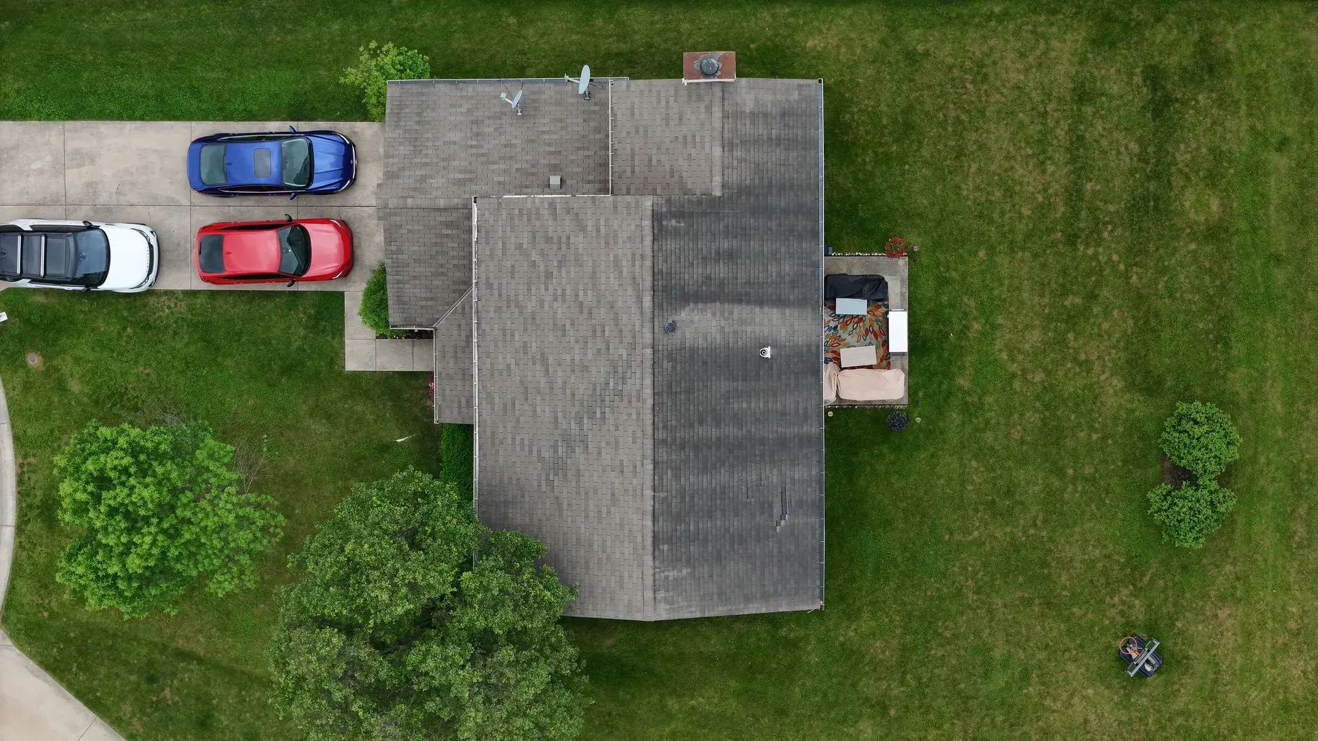
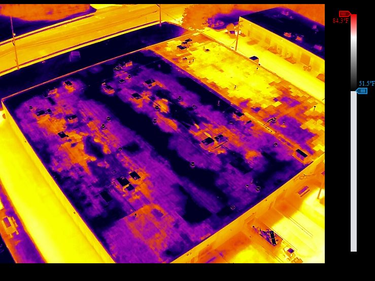
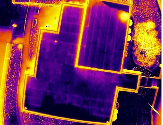
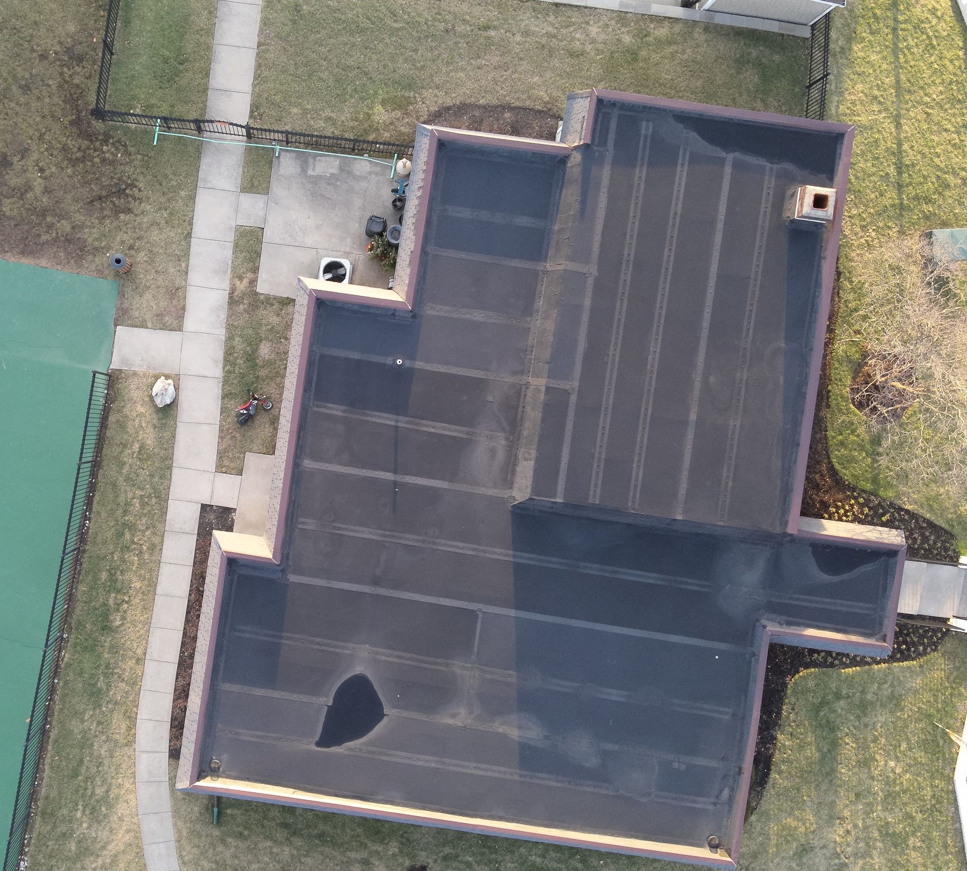
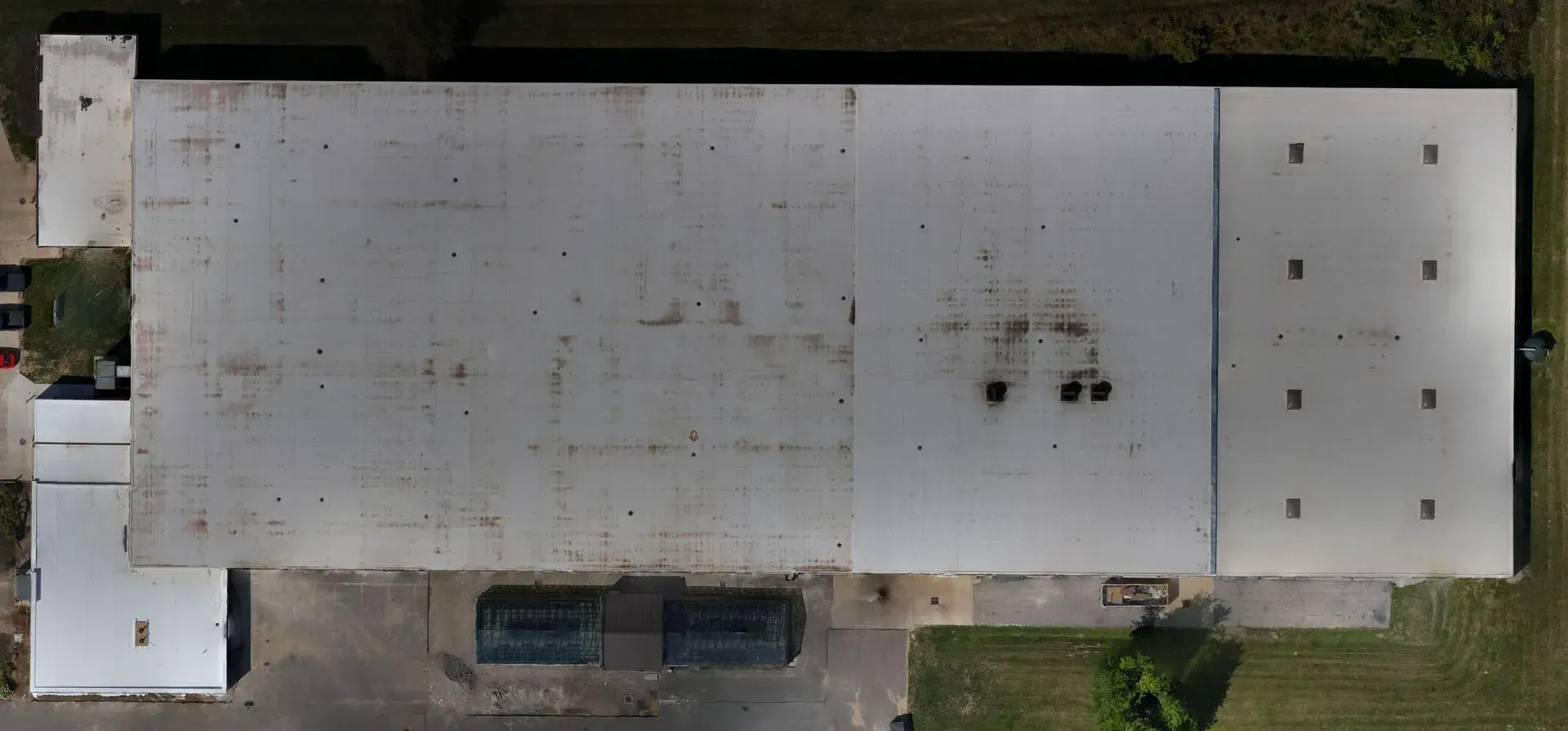
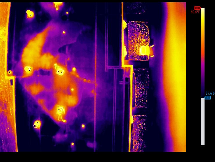
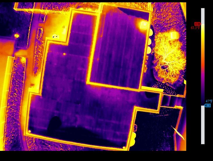
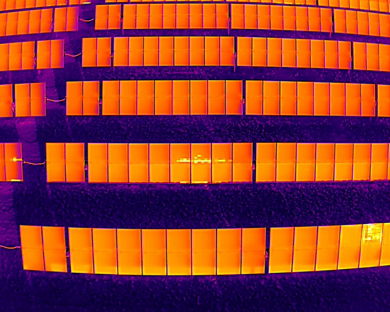
Drones streamline inspections by providing high-resolution aerial views for faster, safer, and more accurate assessments of roofs, structures, and hard-to-reach areas.
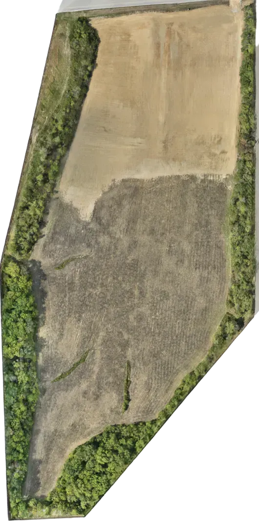
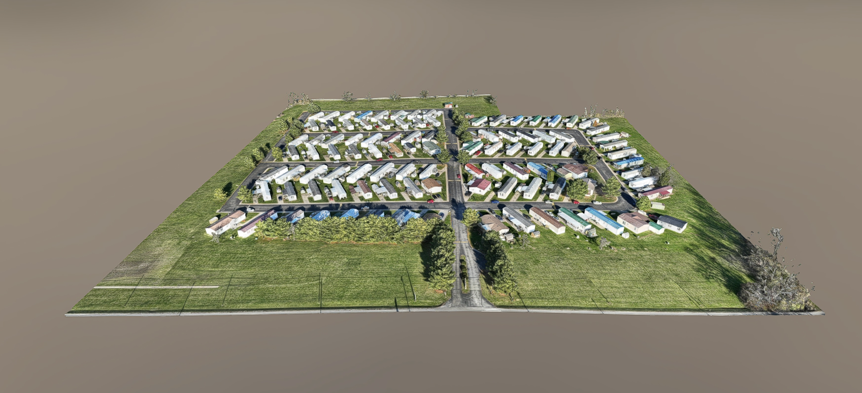
1st Choice Aerials revolutionize mapping by capturing high-resolution aerial imagery to create accurate, detailed maps for land surveying, site planning, and resource management.