A New Perspective: Construction Drone Services in Dayton, Ohio
You're probably looking into construction drone services in Dayton, Ohio.
Maybe you've heard how drones are changing job sites.
It's true; they offer a new view and better data.
Using construction drone services in Dayton, Ohio, can make a real difference, providing the perfect perspective for oversight.
Lots of local construction firms are reaping the rewards. This new tech is taking off.
The advantages are obvious; it really helps users get ahead. Imagine the possibilities.
Ready to view your construction project from new heights?
Contact 1st Choice Aerials today to schedule your aerial photography, inspection, or thermal imaging service!
On This Page:
What Exactly Are Construction Drone Services?
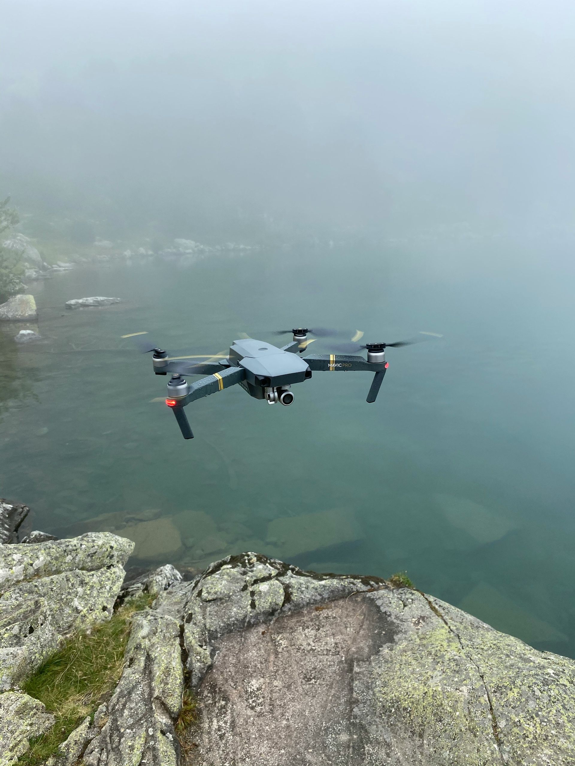
Think of construction drone services as your eye in the sky over a construction site.
These are not just toys; they are advanced aircraft.
These systems use high-resolution cameras and sensors; this setup results in great drone photos and videos.
This technology simplifies a lot of work. Imagine all the time you'll save!
Drones can quickly survey large areas.
Progress photos are taken regularly from aerial surveys to monitor the building's development.
They can even inspect hard-to-reach places safely.
For anyone managing a building project in Dayton or surrounding areas like Tipp City, these drone services are becoming vital.
They bring a level of detail that was hard to get before.
Benefits of Construction Drone Services in Dayton, Ohio
Dayton construction projects really benefit from drone use. Safety is a big one.
Drones are perfect for inspecting hard-to-reach places; think tall buildings and rooftops.
Your team avoids dangerous situations.
This leads to fewer injuries. Workplace safety is a must; it's always important to follow guidelines.
Cost savings are a significant advantage; your wallet will thank you.
Drones can do some tasks much faster than traditional methods.
For example, land surveying, which might take days or weeks manually, can often be completed by a drone in hours.
Less time on tasks means lower labor costs; this is a smart move for your budget, often facilitated by a professional drone company.
Decisions improve when you have access to better data; it's a direct correlation.
Drones give you accurate maps and 3D models of your site, which can be part of a completely custom solution.
Compare your construction progress against the plans regularly.
Catching mistakes early avoids costly fixes down the road.
It also makes communication with stakeholders much easier because you have compelling visual evidence and stunning aerial imagery to share from your construction drone.
Top Construction Drone Services Dayton Ohio Offers
When you look for construction drone services in Dayton, Ohio, you'll find various options.
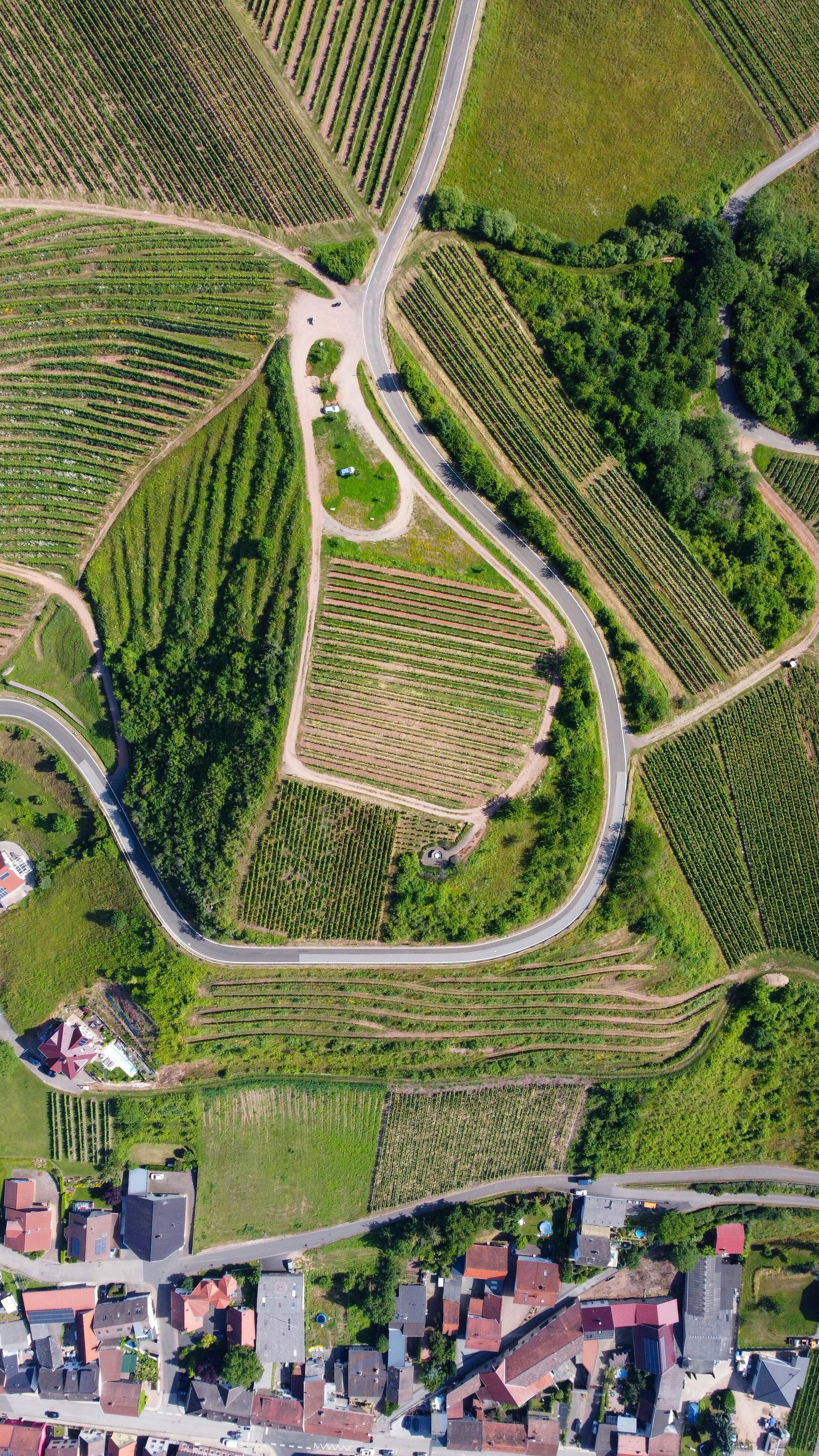
Aerial Surveying and 3D Mapping
One popular service is aerial surveying.
Drones fly over your site, capturing thousands of images for detailed aerial photography.
Special software then stitches these images together to create highly detailed 2D orthomosaic maps, 3D models, Digital Surface Models (DSMs) and Digital Terrain Models (DTMs).
Satellite images can't compare to these maps—the aerial views are far superior, and the information is current.
Planning is easier with this model.
Accurate measurements of distance, area, and volume are possible.
Elevation analysis is simplified with the inclusion of contour lines.
Better site layouts, improved earthwork calculations, and a generally better design are all benefits.
Think about the improved accuracy for your blueprints and development stages.
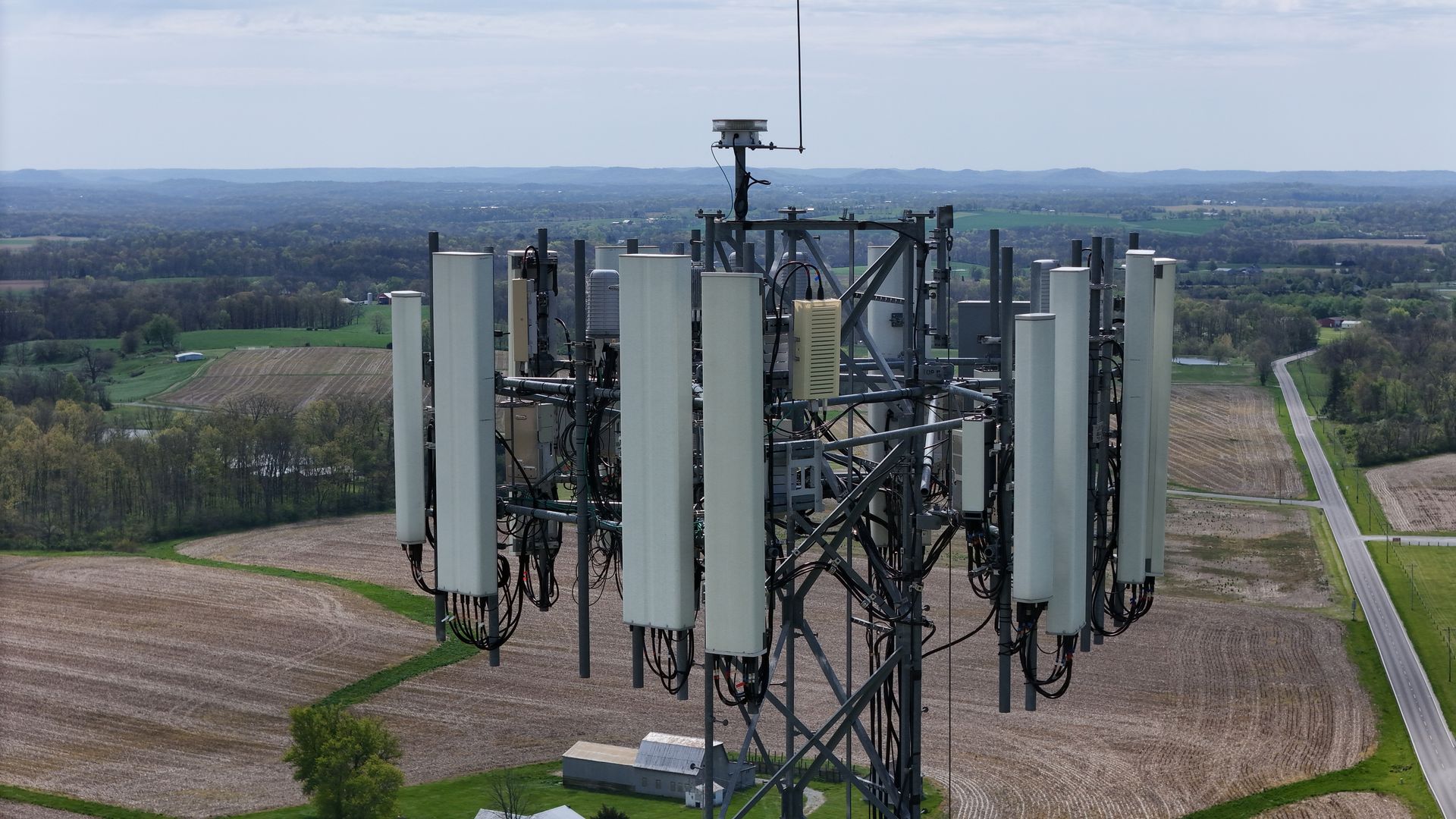
Drone Inspection
Drones improve construction inspections in three key ways: speed, safety, and thoroughness.
Think of all the extra time and safety you gain!
Close-range drone flights are possible around buildings, bridges, and power lines.
Structural assessments and facade inspections are a breeze.
You can find any damage or wear without the hassle of scaffolding or lifts.
Regular maintenance and quality checks are also more efficient.
For example, a state department of transportation might use similar tech for bridge inspections.
Keeping buildings safe and extending their life is easy with construction drones.
They efficiently handle regular inspections.
This service can be completely customized to your inspection needs.
Monitoring Job Progress
Keeping a project on schedule is always a challenge.
Progress photos and updates?
Drones handle that.
You can schedule flights daily, weekly, or bi-weekly for ongoing aerial video documentation.
The images and videos show exactly what's been done, allowing easy comparison to your project timeline and as-built verification against design models.
Client updates?
These pictures do the trick!
This keeps everyone in the loop and builds trust; the information is even good enough for a marketing video.
Thermal Imaging (Thermography)
Some drones carry thermal cameras, capable of advanced aerial imaging.
Heat shows up on these cameras, making finding heat loss and water leaks more efficient.
This technology is great for buildings, helping locate problems behind walls.
Inspecting solar panels or HVAC systems for defects or poor performance is possible, even on commercial properties.
LiDAR Scans for Extreme Accuracy
Drones equipped with LiDAR sensors can create incredibly precise 3D point clouds, offering a level of aerial imagery detail beyond standard photogrammetry.
This technology can see the land beneath the plants, making it better than other methods.
While often more expensive than photogrammetry (image-based mapping), LiDAR is invaluable for certain applications requiring very high accuracy.
Stockpile Volume Calculations

Managing materials on a construction site is important for cost control.
Drones can quickly and accurately measure the volume of stockpiles using aerial photography techniques.
This might include gravel, sand, soil—you name it!
You get regular, precise measurements without manual surveys, which is more efficient than relying on helicopter aerial pictures/video services for such tasks.
Environmental Impact Assessment
Drones make environmental impact assessments easier.
They can help before a building even begins.
They check erosion control and track how much sediment runs off, keeping Dayton and Ohio in line with the rules.
Drones can check on the plants around a building site.
For projects near delicate natural habitats and for any site needing restoration, this is very important.
Think wetlands or endangered species areas.
Providing drone support for these environmental checks can save time and offer better data than ground-based methods.
Important Things to Think About Before You Hire
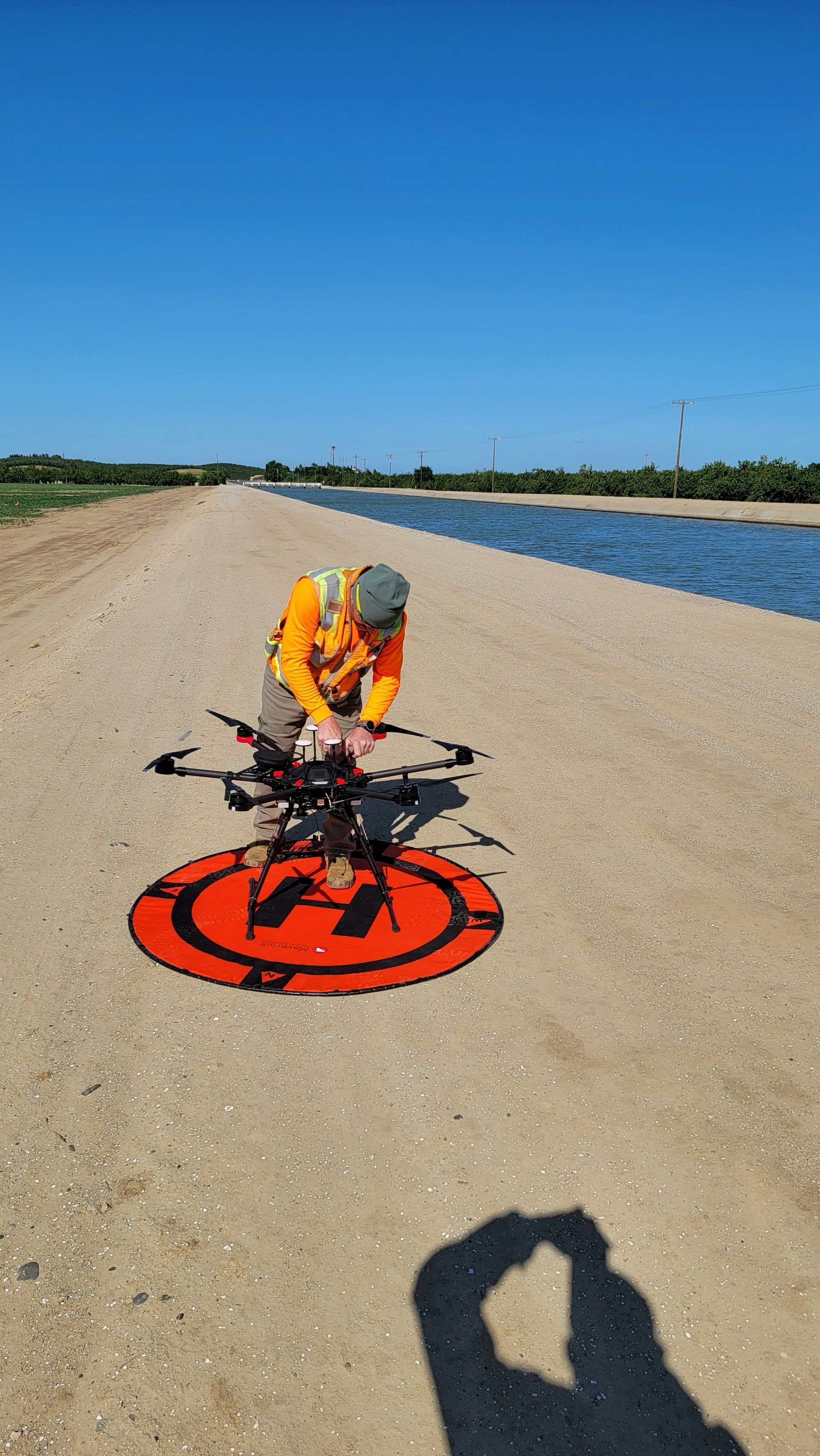
Before you bring drones onto your construction site in Dayton, there are some things to plan for.
Clearly define what you want the drones to do.
What specific data, such as particular aerial photos or construction progress reports, do you need?
This will help the drone service provider give you an accurate quote.
It will also help them deliver the results you expect from their aerial pictures/video services.
Check your wallet.
Drone services can vary in cost depending on the scope of work.
What equipment is needed, and how often do you need flights from the drone pilot?
Your budget?
It's the first step to finding the right provider.
Think of it as a roadmap to success.
Getting there and the site itself are important things to consider.
Is the site easily accessible?
Are there many obstacles like tall trees or power lines?
Discuss these details with the provider.
Safe and efficient flight plans are now possible.
Weather can also affect drone operations, so flexibility might be needed for the drone aerial work.
Consider how you will use the data from the drone services.
Who in your team will be responsible for reviewing it?
Stakeholders will receive this information.
A good plan makes drone data—photos or detailed maps—really useful.
The information is only good if you act on it.
The Future Looks Up: Drones in Dayton's Construction
The use of drones in construction is not just a trend; it is rapidly becoming an industry standard.
In Dayton and nearby areas like Tipp City and Huber Heights, we can expect to see more drones on job sites in the coming years.
Drone technology in Ohio is getting better all the time, and the software for handling the photos and videos is improving too.
Drone flights and data analysis could become much more automated, and artificial intelligence could play a bigger role.
Construction projects would greatly benefit from AI.
The technology helps to identify problems and track progress accurately by analyzing images.
Think of it as having a super-powered, always-on inspector.
Using this, drone services will be more efficient; we'll gain more understanding from them.
Imagine: Drones making environmental services far more effective.
That's a real possibility for this industry.
Conclusion
Construction drone services in Dayton, Ohio, are changing how projects get done.
Safety and efficiency are huge upgrades on every job site.
Drones provide amazing views!
From aerial photos that precisely map an area to close-up drone videos for thorough inspections, you get a really good look at things.
Businesses that want better operations should consider aerial photography and videography services.
This will improve efficiency and provide a better understanding of operations.
Ready to view your project from new heights?
Contact 1st Choice Aerials today to schedule your aerial photography, inspection, or thermal imaging service!